Visual
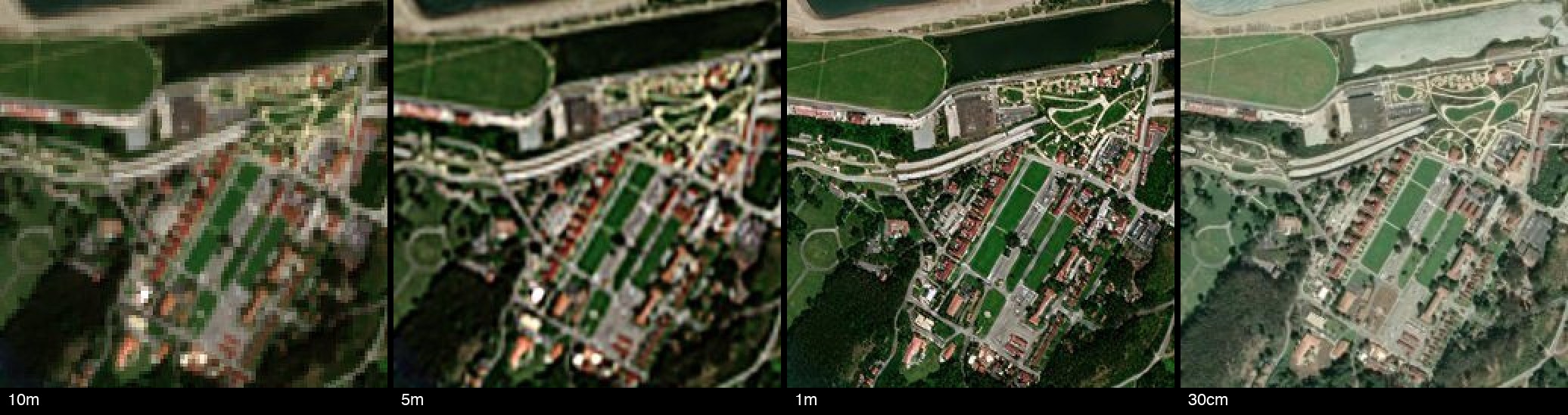
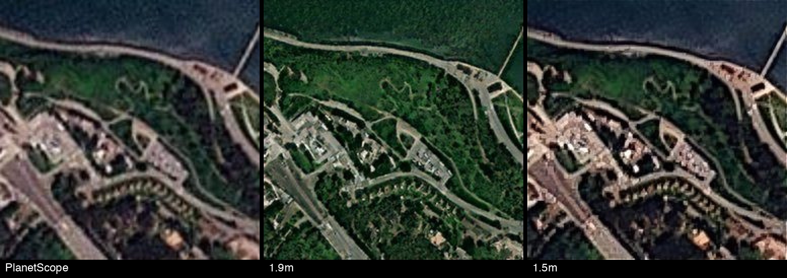
Worldwide visual imagery in more detail than the source — Sentinel-2 to 1m (50cm with x2 super-resolution), PlanetScope to 1.5m, Landsat to 3.75m; archives from 1995.
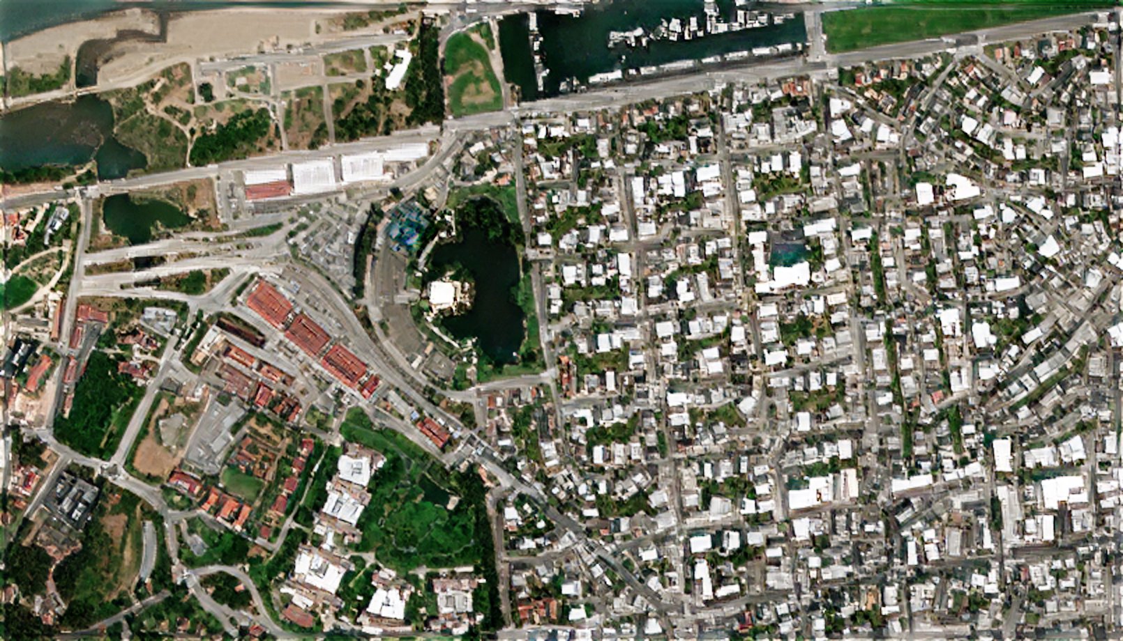
Visual satellite data has many uses, including:
- Mapping of buildings, roads and infrastructure
- Change detection: construction, demolition, disaster damage
- Object detection: buildings, ships, large aircraft
- Defense and intelligence monitoring
- Insurance claims and property assessment
Up-to-date worldwide visual imagery, with deep archives, in more detail than the source:
| Enhanced GSD | Refresh | Source | Archive from | Enhancement |
|---|---|---|---|---|
| 1m | 2-5 days | ESA Sentinel-2 | 2015 | no-hallucination machine learning |
| 50cm | 2-5 days | ESA Sentinel-2 | 2015 | lightweight x2 super-resolution |
| 3.75m | 8-16 days | NASA Landsat-8 and 9 | 2013 | faithful machine learning |
| 7.5m | 8-16 days archive | NASA Landsat-5 to 7 | 1995 | faithful machine learning |
| 1.9m | Daily | Planet PlanetScope | 2017 | no-hallucination machine learning |
| 1.5m | Daily | Planet PlanetScope | 2017 | faithful machine learning |
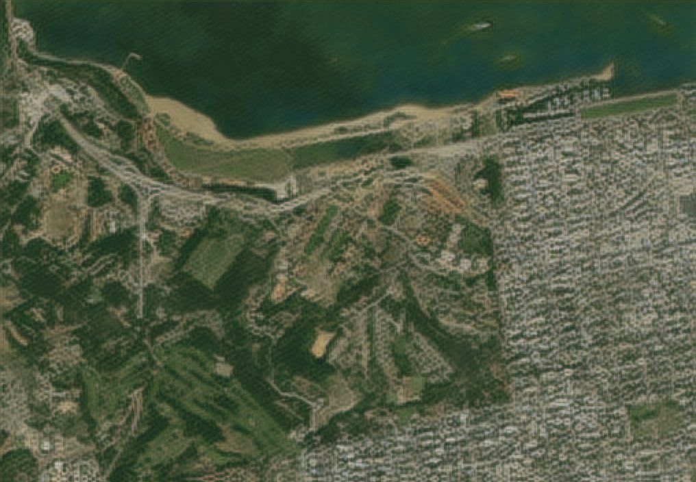
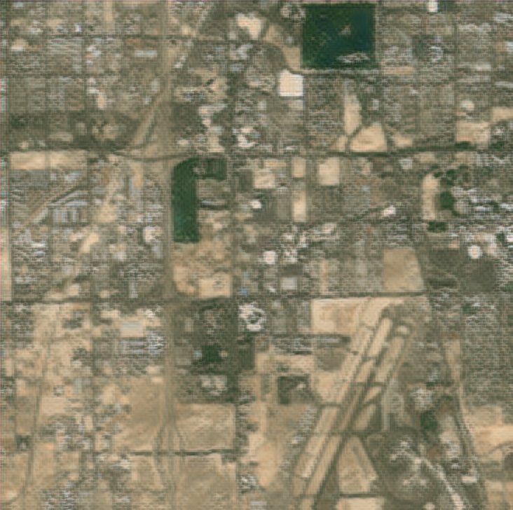
What you receive
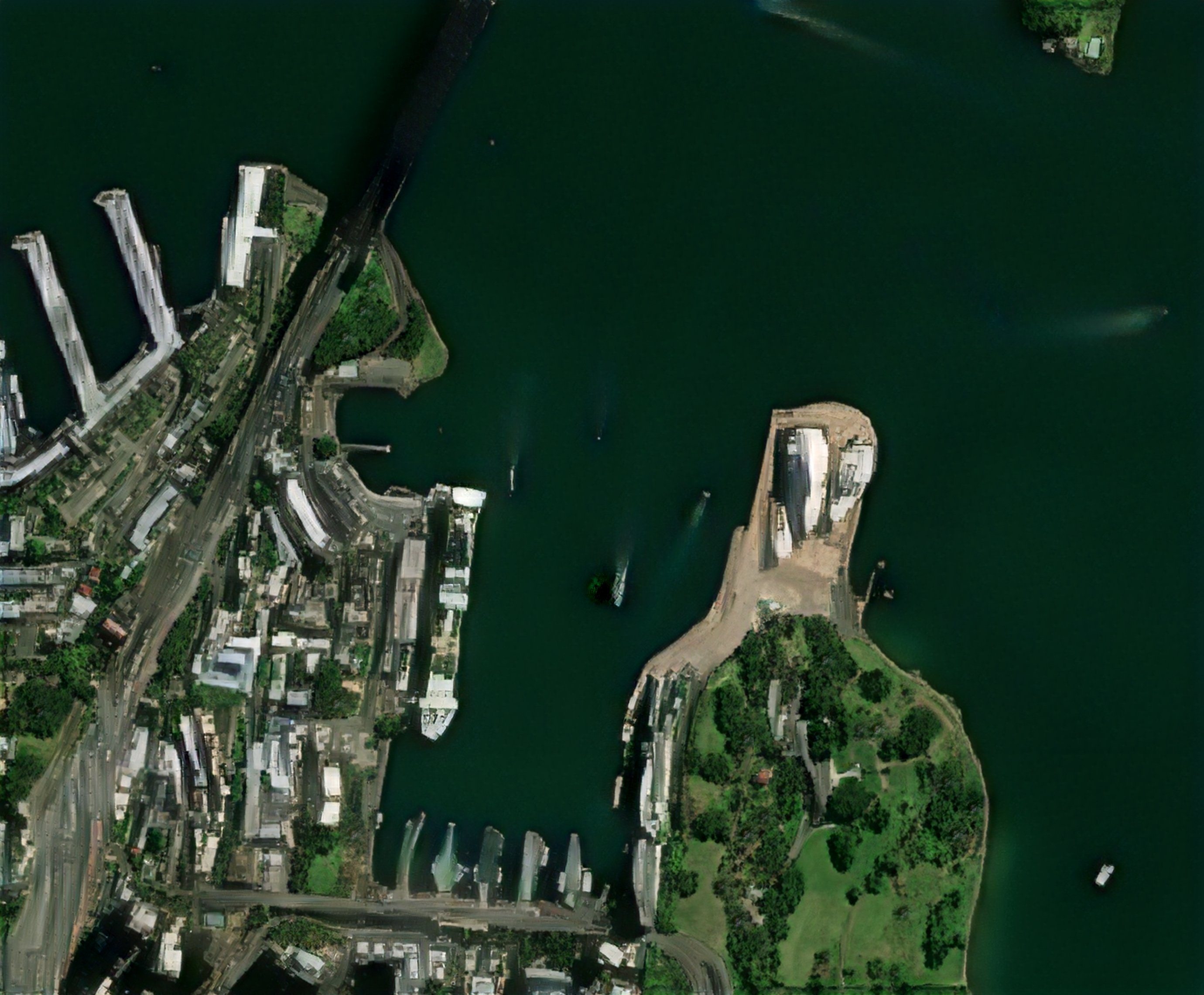
Dated 1m true-colour GeoTIFFs or web tiles for your AOI, via API, download or the web app