Multispectral
Ten calibrated spectral bands at 2–4m, includes 1m Enhanced Visual — the analytical engine behind NDVI, moisture, burn and mineral indices.
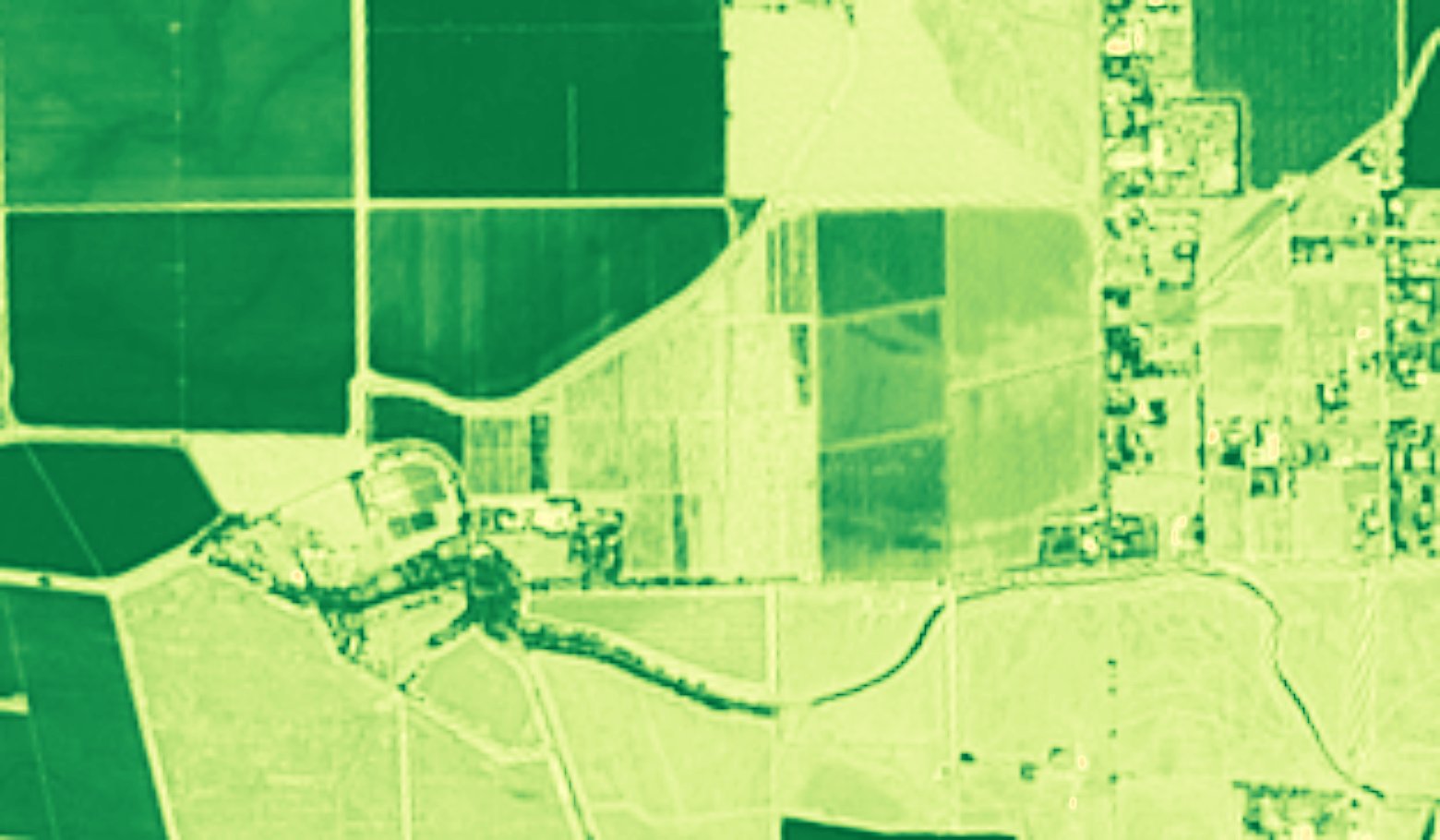
Multispectral satellite data has a wide range of uses, including:
- Crop health and vigor (NDVI, red-edge indices)
- Yield estimation and crop-type classification
- Land cover and land use mapping
- Deforestation and forest health
- Water quality: chlorophyll, turbidity, algal blooms
- Mineral and geological mapping (SWIR)
- Burn scar and wildfire severity mapping
Worldwide multispectral up-to-date imagery refreshed every 2-5 days and archive since 2015 is derived from Sentinel-2 using physics with no machine learning hallucination.
Available spectral data:
| Band | Name | Central λ (nm) | Enhanced GSD (x5) | Source resolution |
|---|---|---|---|---|
| B2 | Blue | 490 | 2m | 10m |
| B3 | Green | 560 | 2m | 10m |
| B4 | Red | 665 | 2m | 10m |
| B5 | Red edge 1 | 705 | 4m | 20m |
| B6 | Red edge 2 | 740 | 4m | 20m |
| B7 | Red edge 3 | 783 | 4m | 20m |
| B8 | NIR | 842 | 2m | 10m |
| B8A | Narrow NIR | 865 | 4m | 20m |
| B11 | SWIR 1 | 1610 | 4m | 20m |
| B12 | SWIR 2 | 2190 | 4m | 20m |
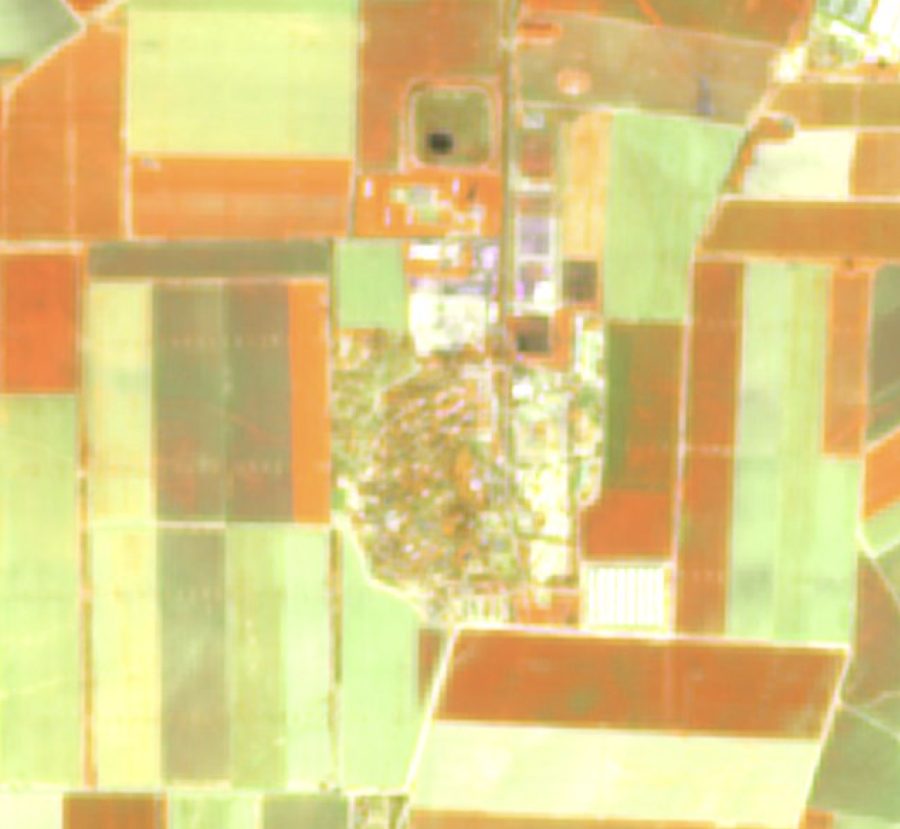
What you receive
A 10-band 2–4m GeoTIFF stack, any single index layer like NDVI, or the source 10-band multispectral data for your AOI