Land Cover Classification
Bi-weekly land cover classification of any area size at 2m GSD and 1m visualization — buildings, roads, water, forest, vegetation, soil, greenhouses and more.
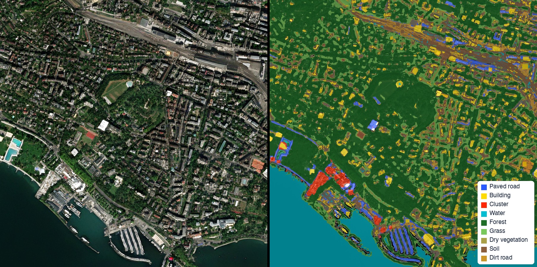
A wide range of uses requires identifying how different areas are being used past and present, such as water bodies, constructed areas, forests, and more. The change of areas is the basis of some uses, such as new construction and deforestation detection.
EarthToDate classifies any area size bi-weekly at 2m GSD and 1m visualization.
The classification includes:
- Building
- Cluster (dense built-up)
- Paved road
- Dirt road
- Water
- Forest
- Grass
- Dry vegetation
- Soil
- Sand
- Rock
- Snow and ice
- Greenhouse
What you receive
A 2m land cover classification layer for your area and dates