Enhanced Imagery
Upload your own scene — ×2 or ×4 enhancement, your choice at the same price, or PlanetScope 1.9m — from satellites, aerial and drone visual images.
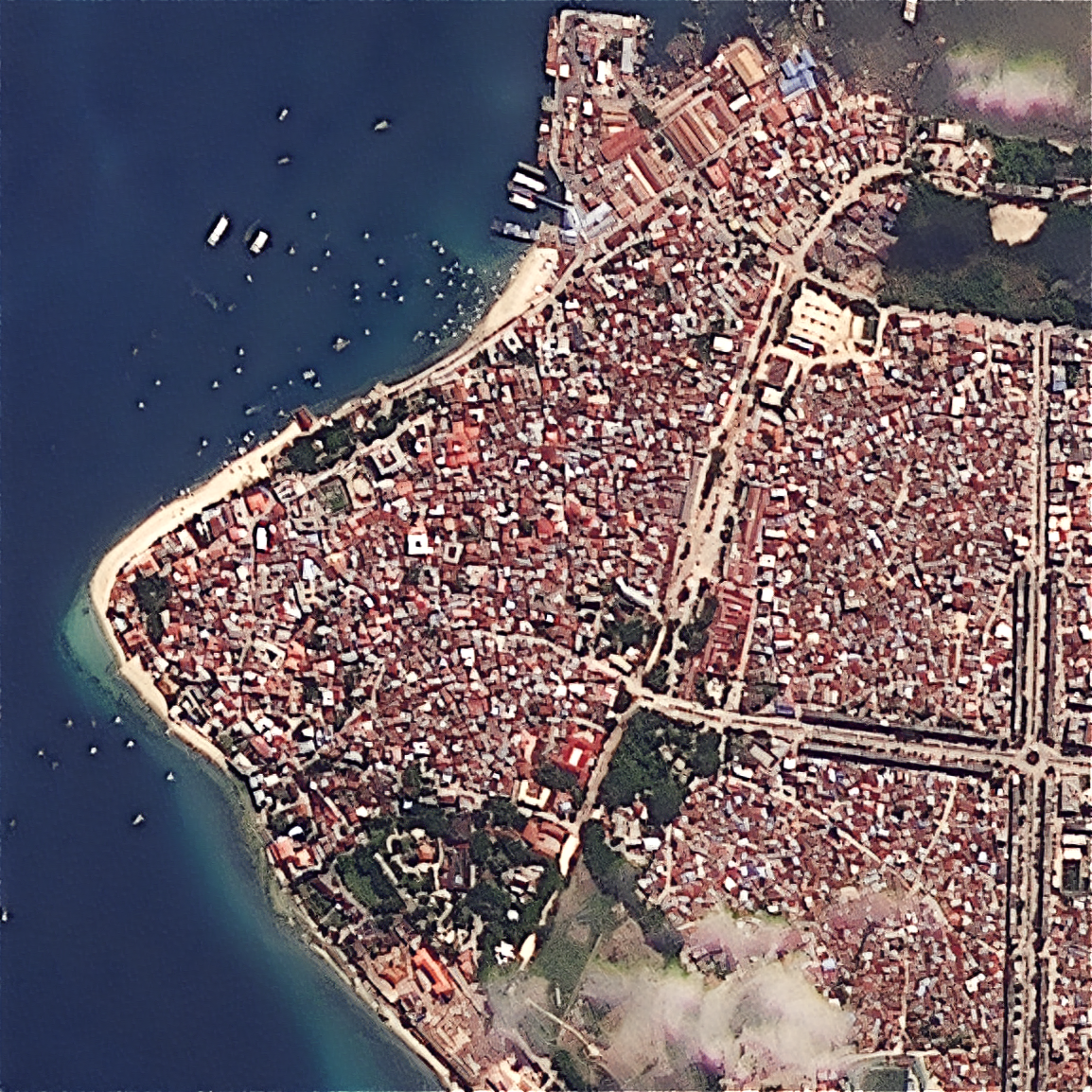
EarthToDate is using faithful reconstruction using physics and machine learning sharpening to recover hidden details and add clarity to all sensors, including satellites, aerial and drone visual images.
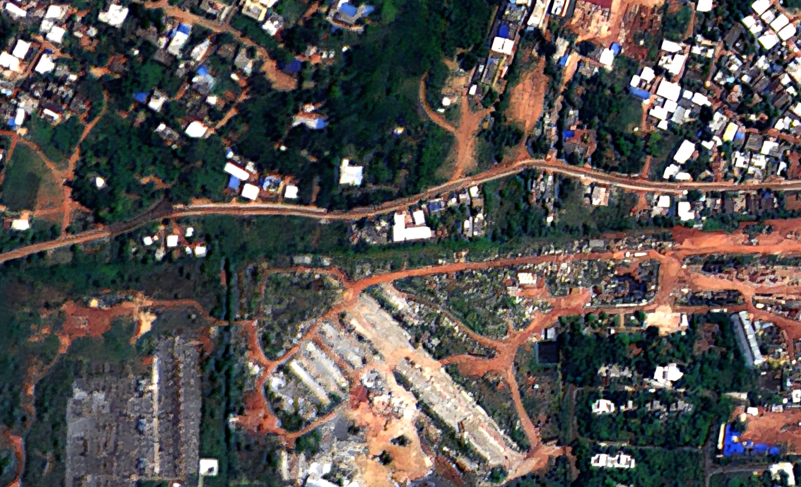
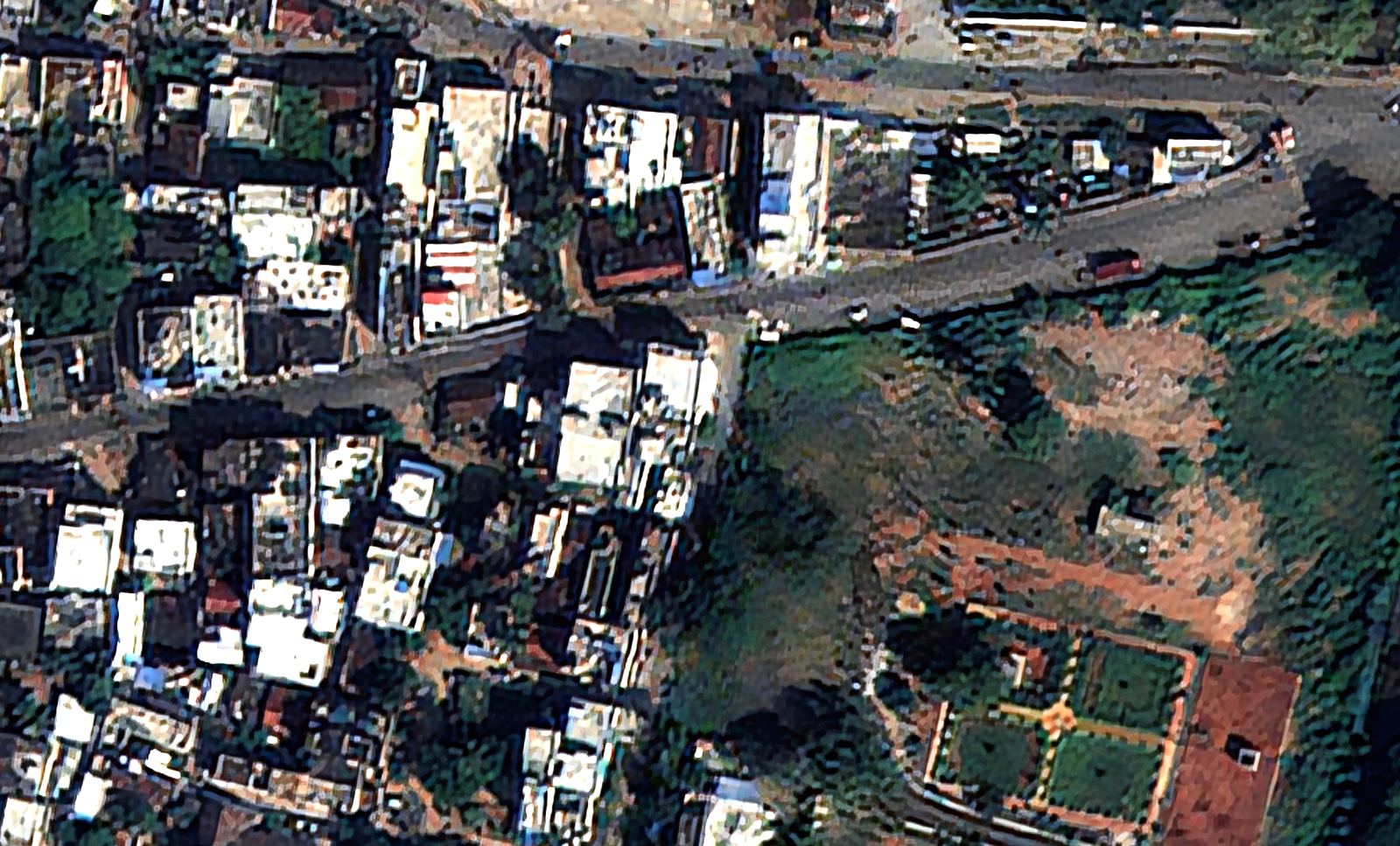
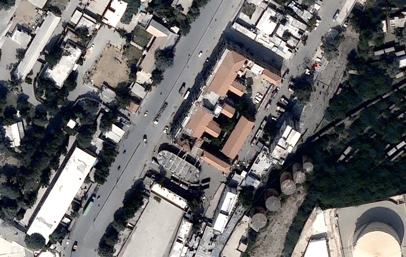
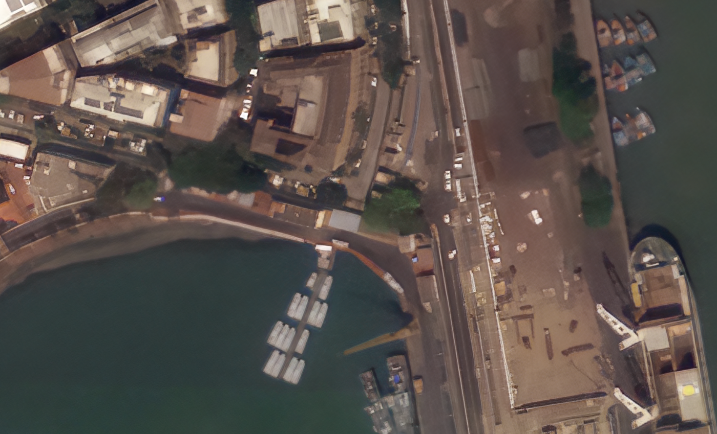
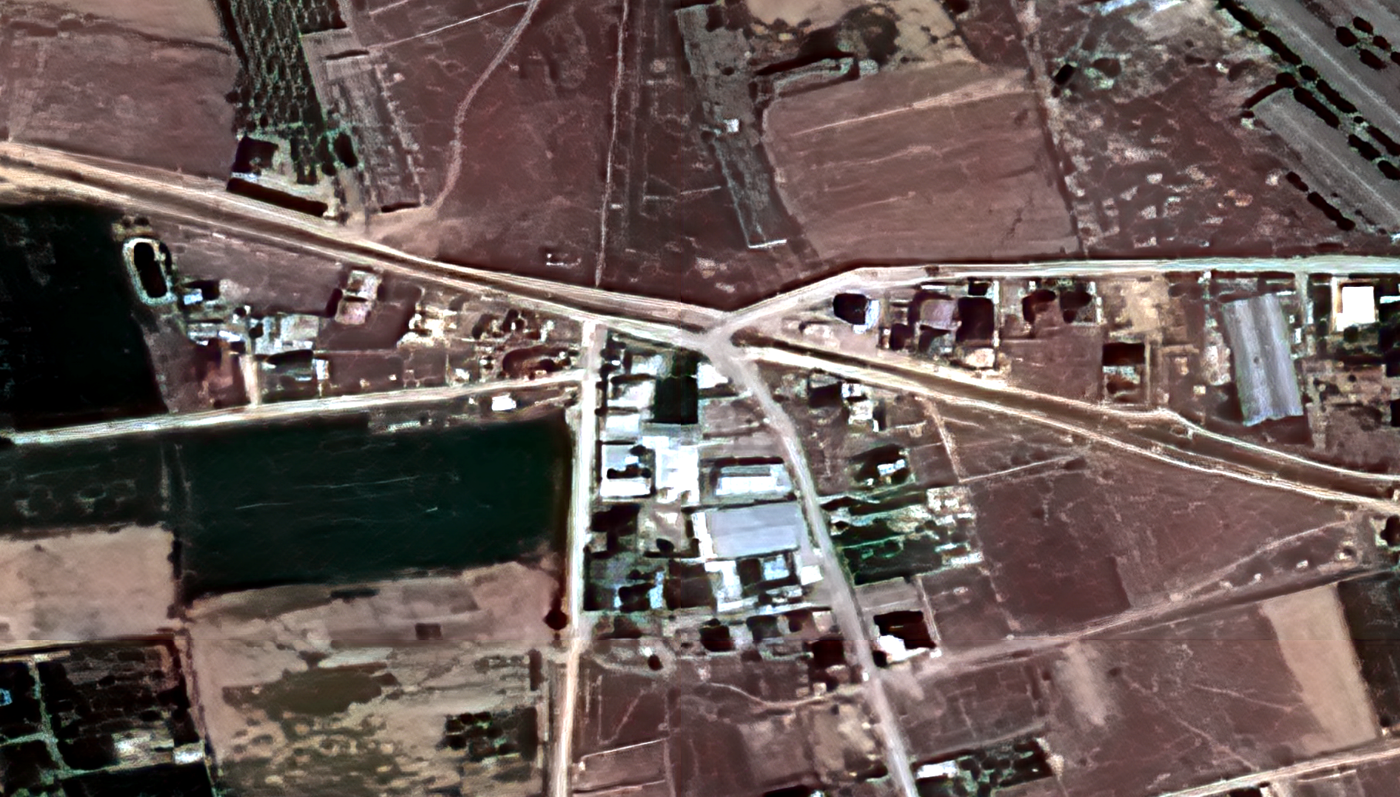
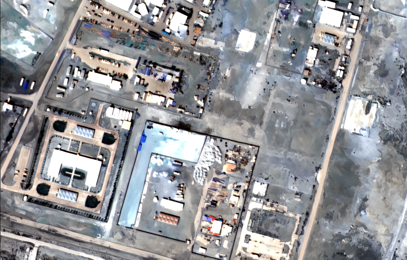
What you receive
Your uploaded scene returned enhanced (×2 or ×4), geolocation preserved