Infrastructure
Water leak warnings and other analytics for infrastructure networks.
Infrastructure underlies modern civilization and includes:
- Drinking and irrigation water
- Sewage
- Electricity
- Oil and gas pipelines
- Roads and highways
- Airports and seaports
- Wired and wireless communication
- Railways
- Dams and canals
EarthToDate provides Critical Infrastructure Monitoring, as well as agriculture-specific indexes and analytics.
Additionally, EarthToDate provides other infrastructure-specific analytics.
Suspected Underground Water Leak Warnings
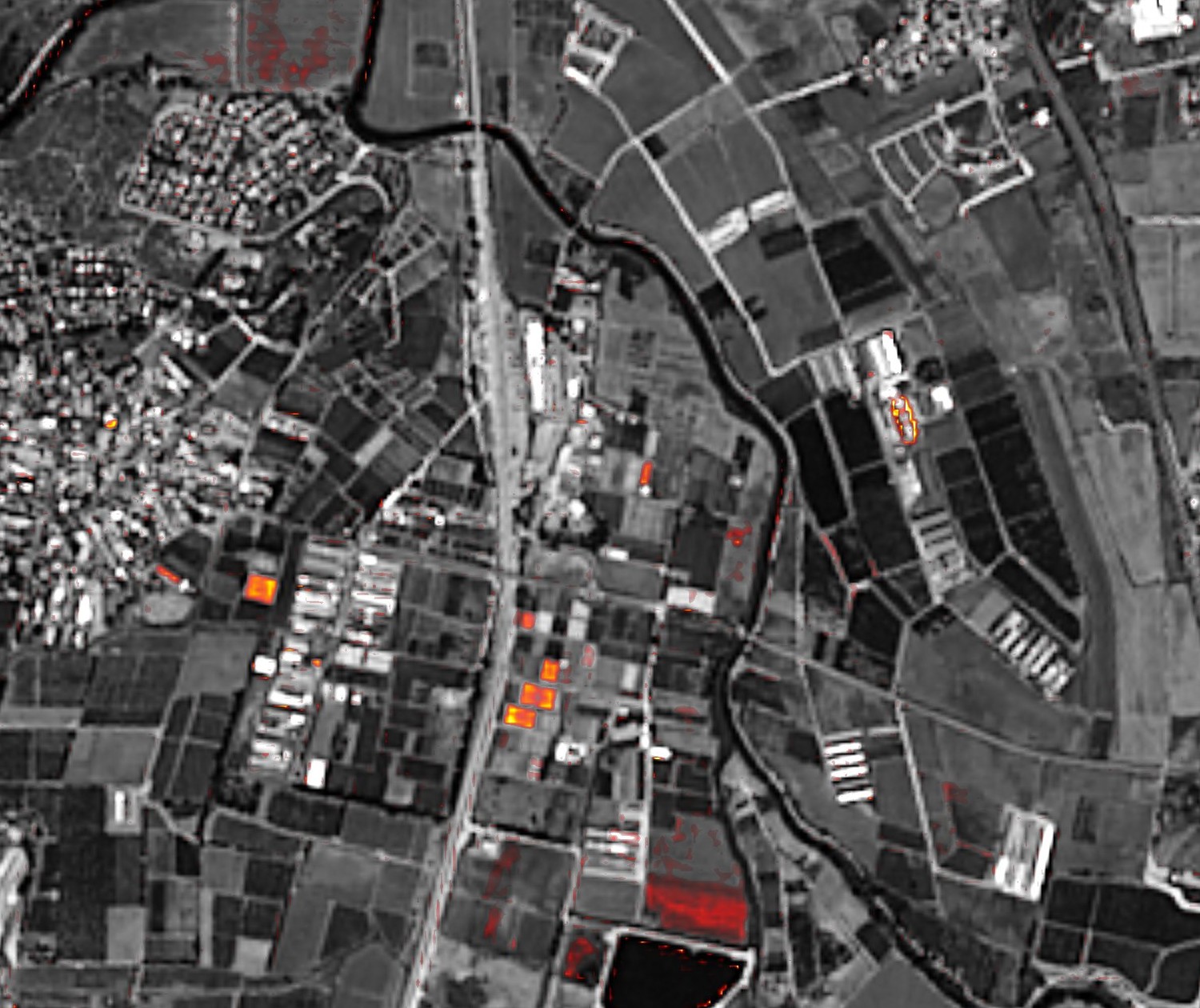
Water utilities lose about a third of the water they supply before it reaches users — an average of 35% in urban systems, about 126 billion m³ a year worldwide. Various methods are employed, such as water pressure sensors, but the problem is still very much present. A single service provider, ASTERRA, employs tasking satellites with limited ground-penetrating capabilities (L-band SAR from Japan's ALOS-2 and Argentina's SAOCOM), provides localized analysis of potential underground water leaks and serves over 600 water utilities in 68 countries.
EarthToDate underground water leak warning takes a different approach, and is suitable for national-scale continuous monitoring. It employs the concept of high-resolution detection of increased soil moisture. With EarthToDate unique 2m multispectral data, EarthToDate continuously monitors recent imagery against its near previous one, looking for an increase in local moisture along the underground pipes. When not local, the assumption is weather conditions like rain, but local increase may warn of an underground leak. Naturally, such a method has limitations and requires relatively exposed ground, with construction or thick vegetation limiting the reading.