EarthToDate is your single source for cost-effective, enhanced Earth observation — optical, radar, thermal, nightlight, atmospheric and elevation — with analytics for your industry.
Data
Basemap
Worldwide cloudless data, visual, multispectral and radar, available through a cloud tile server, for on-prem deployment and as an offline dataset.
Visual
Worldwide visual imagery in more detail than the source — Sentinel-2 to 1m (50cm with x2 super-resolution), PlanetScope to 1.5m, Landsat to 3.75m; archives from 1995.
Multispectral
Ten calibrated spectral bands at 2–4m, includes 1m Enhanced Visual — the analytical engine behind NDVI, moisture, burn and mineral indices.
SAR
All-weather Sentinel-1 C-band radar at 2.5m Fidelity Reconstruction (FR), terrain-corrected (RTC), both polarities and both orbit passes — day, night, through cloud, every 3–12 days.
Thermal
Landsat two-band thermal-infrared at 25m faithful super-resolution — surface temperature and thermal anomalies.
Pollution
Up-to-date (last 2–4 weeks running average) global 6-gas monitoring — NO₂, SO₂, CO, CH₄, HCHO and aerosols — at 1.4km faithful machine learning projection, absolute and year-on-year.
Nightlight
Nightly 125m night-lights, faithful projection from VIIRS, for power, outage and activity tracking.
Elevation
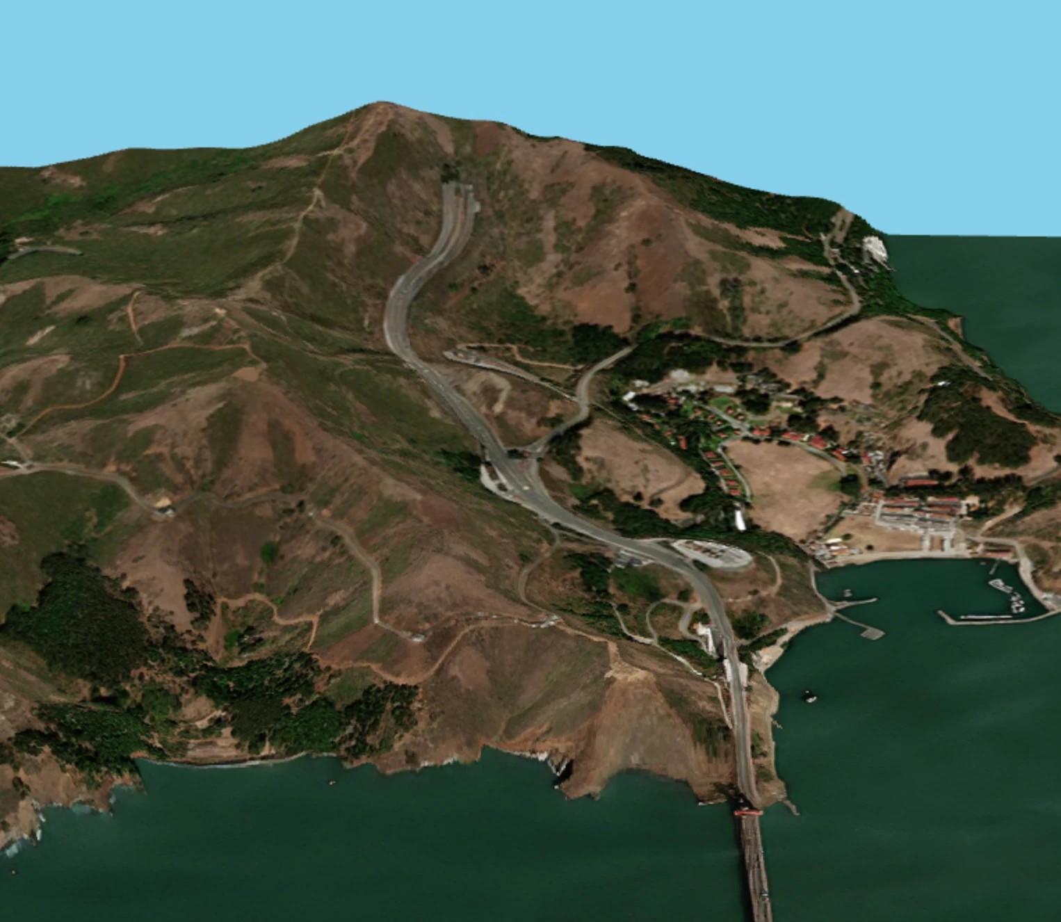
Worldwide DSM at 3m grid posting (often resampled to 1m), 0.5–1m absolute vertical accuracy in most locations, circa 2015.
Enhanced Imagery
Upload your own scene — ×2 or ×4 enhancement, your choice at the same price, or PlanetScope 1.9m — from satellites, aerial and drone visual images.
Analytics
Land Cover Classification
Bi-weekly land cover classification of any area size at 2m GSD and 1m visualization — buildings, roads, water, forest, vegetation, soil, greenhouses and more.
New Construction Detection
New construction, greenhouses, land preparation and reclaimed land labelled between any two dates at 2m GSD.
Critical Infrastructure Monitoring
Monitoring of corridors and key sites — railroads, highways, pipelines, power lines, ports and more — for new construction, vegetation encroachment, floods, fires and slides.
AIS (Automatic Identification System) over SAR
Worldwide reported ship identity, location, heading and speed over the last 14 days on basemaps; coming up: matching ships seen in SAR, including dark ships.
ESRI Basemap Age
An age map of ESRI World Imagery, so users know how current the imagery is for their use case; a fused up-to-date version is coming soon.
Surface Mineral Map
Hydrothermal alteration mapping at 2–4m from enhanced Sentinel-2 — four alteration indices, a composite score and a 7-class map; a sub-5m SWIR source since WorldView-3 retired.
Mining Monitoring
Monitoring of licensed and illegal mining, including small artisanal sites, for governments, operators and NGOs.
Infrastructure
Water leak warnings and other analytics for infrastructure networks.
Natural Hazards and Disasters
Fire hazard, flood simulation and glacial lake outburst flood monitoring.
Forest Classification & Deforestation Tracking
Forest classification, deforestation and reforestation between dates, supporting EUDR proof that products were not grown on land deforested after 2020.
Agriculture
Field anomalies, crop classes, field boundaries, soil moisture, salinity and grassland biomass.