Basemap
Worldwide cloudless data, visual, multispectral and radar, available through a cloud tile server, for on-prem deployment and as an offline dataset.
Basemaps provide worldwide cloudless data, visual, multispectral and radar. Basemaps are available through a cloud tile server, for on-prem deployment and as an offline dataset. The tiles are standard Web Mercator (EPSG:3857) map tiles, and can therefore support fast data access and rendering and a large number of concurrent users.
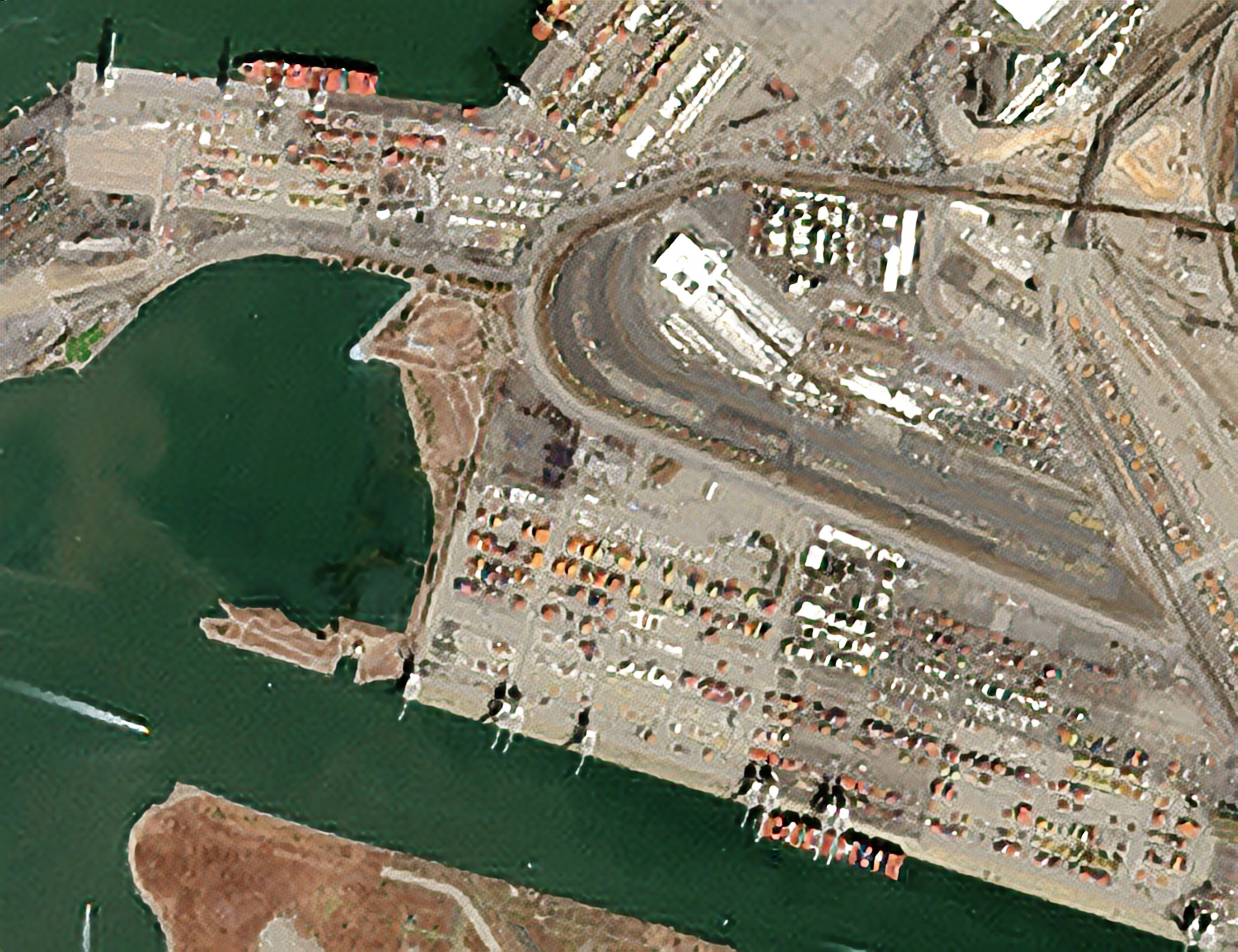
Quarterly Cloudless Visual Basemap
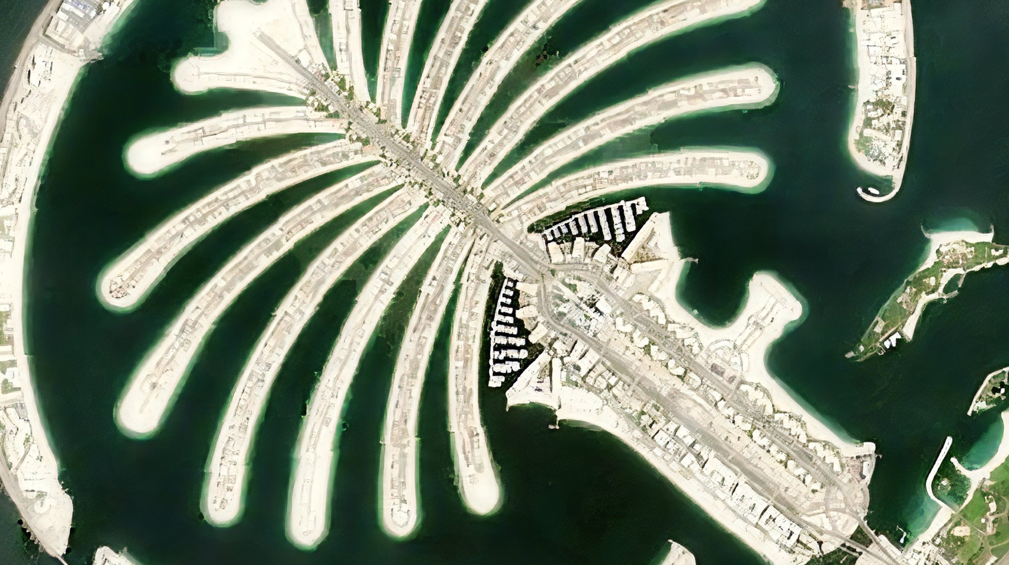
The quarterly cloudless visual basemap is based on Sentinel-2, and has the following capabilities:
- True-color without saturation, even over bright locations like snow and deserts
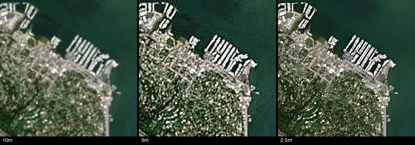
- Source non-saturated 10m imagery
- Physics-enhanced 5m (physics only, using no machine learning)
- 2.5m machine learning enhancement (no hallucinations unlike standard super-resolution)
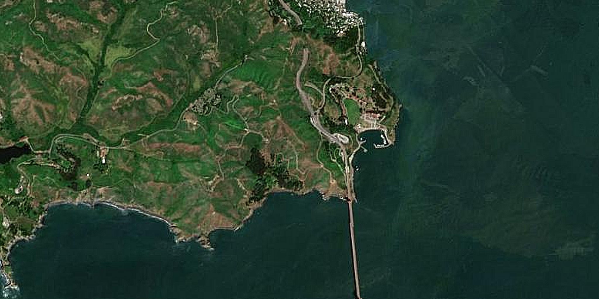
Fresh Optical Basemap
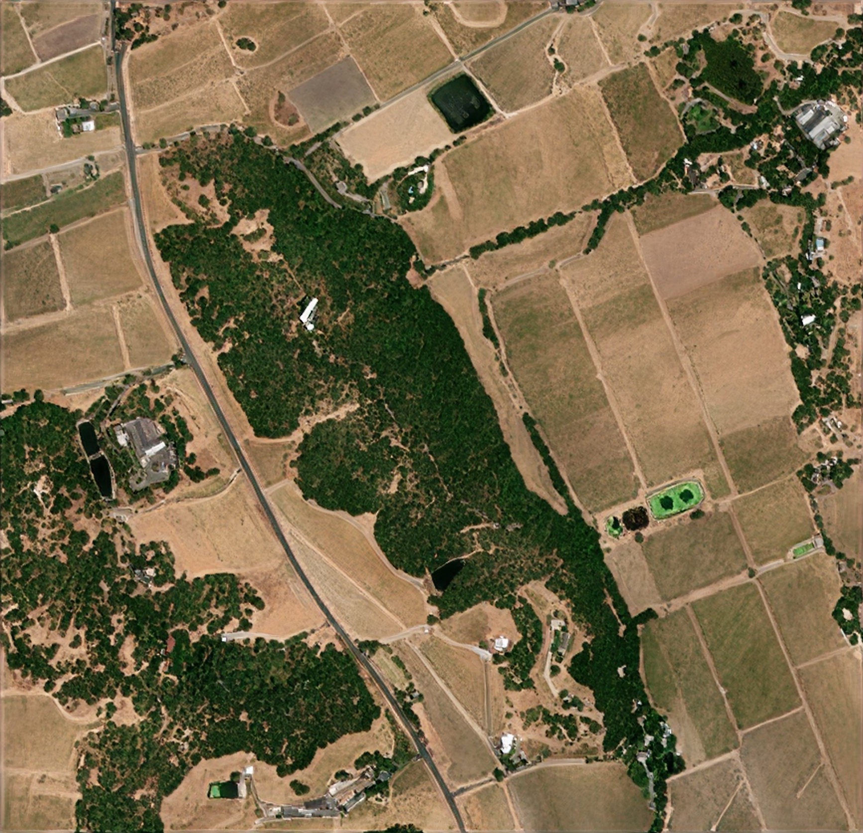
The Fresh Optical Basemap lets you control freshness and provides visual and multispectral data, including the following capabilities:
- Customer-specified freshness, such as monthly
- Cloudless mosaic of latest data captured
- Visual data at 1m GSD
- Multispectral data and indexes like NDVI at 2-4m GSD
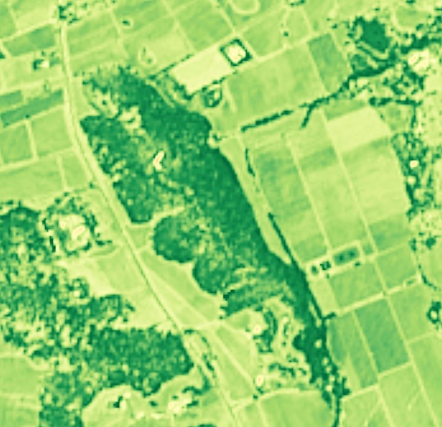
Live Visual Basemap Coming soon
Coming soon a worldwide visual basemap sourced from ESA Sentinel-2, updating continuously.
The Live Visual Basemap processes ESA Sentinel-2 or PlanetScope visual data continuously and provides an up-to-date basemap of the latest minimally-cloudy data captured, with the following capabilities:
- True-color preventing saturation, including in bright locations like snow and deserts
- Latest minimally-cloudy per-tile data, dated
- Latest stable data where the terrain was unchanged
- Previous image before current terrain change
Live All-Weather Basemap
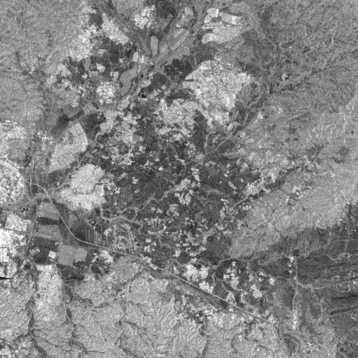
Many locations and seasons are extremely cloudy, where all satellite imagery other than SAR sources is not available. SAR data uses active radar which penetrates clouds and rain, but its data is different from optical and often requires expertise to interpret. Worldwide SAR has been available since 2015 through ESA Sentinel-1 and a new NASA/ISRO NISAR satellite coming online fully around 2027, partially available 2026. The basemap imagery is grayscale visualization (see Enhanced SAR data for source data access).
Sources:
- Live now: Sentinel-1 10m C-band VV and VH, 3 to 12 days refresh depending on geography (about 3 days over Europe, up to 12 days in lower-priority regions)
- Coming soon: NISAR 10m and 5m L-band and S-band HV and HH, 6 days refresh
The all-weather basemap continuously processes new SAR captures worldwide, making it easily available with the following capabilities:
- Terrain correction of the raw GRD data, fixing pixel location errors of 50m to 5km to match reality
- VV and VH polarisations available
- Ascending and descending available
- Latest and previous capture of pixel-aligned data available for change visualization
- Real-time Fidelity Reconstruction projection to 2.5m GSD
- Coming up: land-cover classification
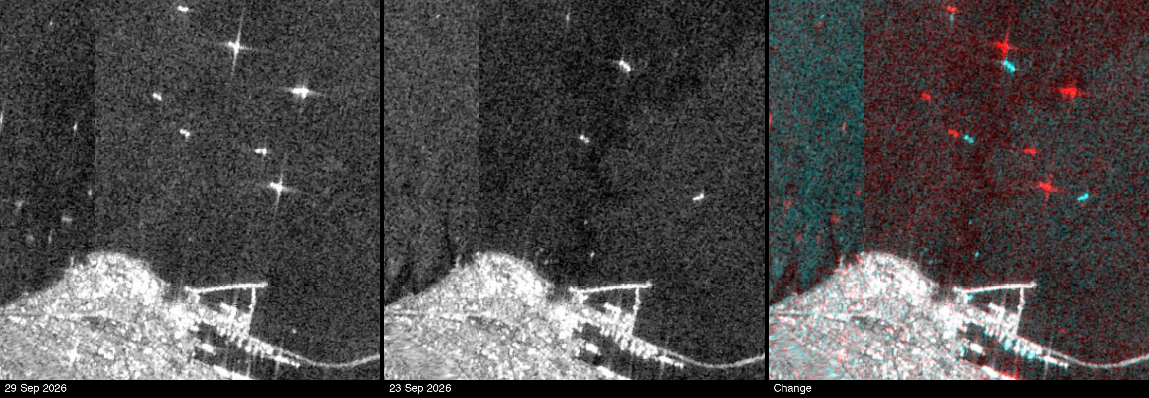
Aerial Basemap
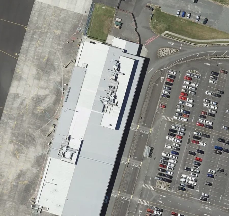
Many countries make an aerial basemap of some or all of their territories available, some as tile servers and some as accessible AOIs, using different access methods.
EarthToDate standardized this body of imagery, and provides a single tile server accessing them all. EarthToDate does not own or maintain, and cannot be responsible for the data quality, correctness or availability, and is merely providing standardized access to it.
These aerial basemaps can be of various vintages, but some data can be quite up to date. GSD also varies widely, up to 1cm in specific locations.
Here are the supported countries and their characteristics as of EarthToDate's last check (March 2026):
Working (18)
| Country | Source(s) | Max zoom / detail |
|---|---|---|
| Australia | NSW, Queensland, Tasmania | NSW z21 (~6cm); QLD z20; TAS z18 |
| Austria | basemap.at | z20 (~10cm) |
| Belgium | Flanders | z21 (~5cm) |
| Czech Republic | ČÚZK | z20 |
| Estonia | Maa-amet | z18 (~30cm) |
| France | IGN | z19 (~20cm) |
| Germany | Berlin, Saxony, NRW | Berlin z24 (~1cm) |
| Hong Kong | GeoData | z20 |
| Japan | GSI | z16–18 (~48cm) |
| Netherlands | PDOK | z21 (~5cm) |
| New Zealand | LINZ | z24 (~1cm) |
| Norway | Kartverket | z21 (~4cm) |
| Singapore | OneMap | z20 |
| South Africa | CD:NGI | z23 (~2cm) |
| Spain | PNOA | z20 (~11cm) |
| Switzerland | Swisstopo | z20 (~10cm) |
| Taiwan | — | z20 |
| USA | USGS | z16 (~1.8m) |
Configured, not working as of last check (7)
| Country | Source | Issue |
|---|---|---|
| Croatia | — | Service failure |
| Denmark | SDFI | Service appears down |
| Italy | Veneto | Service failure |
| Mexico | INEGI | Service failure |
| Poland | — | WMS timeouts |
| Portugal | — | Blank/white tiles |
| Uruguay | — | Service failure |
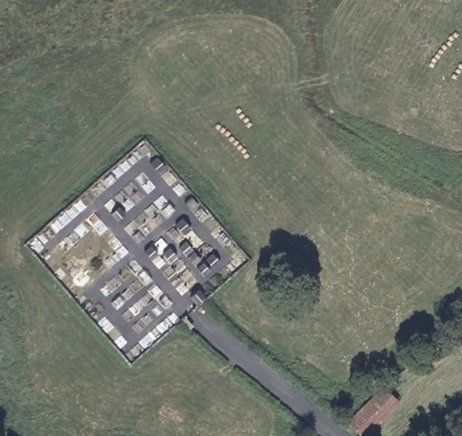
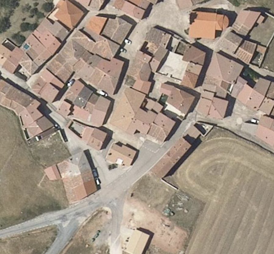
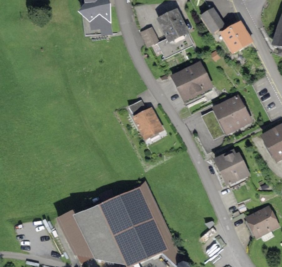
What is Fidelity Reconstruction (FR)? Fidelity Reconstruction (FR) is a non-generative super-resolver: it recovers only the detail the input actually implies — resolving and sharpening real structure without inventing any — so its output downscales back to the source almost exactly. Where a GAN hallucinates plausible-but-fabricated texture, FR stays evidence-bounded.
Fidelity Reconstruction is a reconstructive, non-hallucinating approach to super-resolution. Rather than generating a plausible high-resolution image the way adversarial (GAN) upscalers do, an FR model performs a learned, information-bounded reconstruction: it recovers high-frequency structure that is genuinely implied by — aliased or blurred within — the input, and refines edges and fine geometry, but it does not synthesize novel content (textures, objects, or detail) that the source cannot support.
The defining, measurable property is downscale-consistency: when an FR output is reduced back to the input resolution, it returns the input almost exactly (in our tests ~56 dB PSNR), because every pixel is derived from real evidence. Generative upscalers fail this test (~30 dB) precisely because they add content that isn't in the source — content that looks sharp but is fabricated. That distinction is what makes FR appropriate for measurement and monitoring, where an invented building, road, or texture would be an analytical liability, not a cosmetic bonus.
The deliberate trade-off is that FR will not manufacture the “photographic crispness” a GAN conjures; its ceiling is the true information content of the input (and the resolution its training targets taught it to resolve). In exchange, its output is trustworthy and reproducible — sharper and higher-resolution than the source, but faithful to it — which is the correct guarantee for a satellite-analytics product.