SAR
All-weather Sentinel-1 C-band radar at 2.5m Fidelity Reconstruction (FR), terrain-corrected (RTC), both polarities and both orbit passes — day, night, through cloud, every 3–12 days.
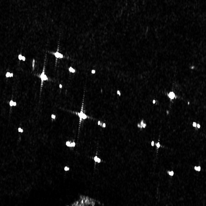
Synthetic Aperture Radar has a wide range of uses, including:
- All-weather, day/night monitoring
- Flood mapping
- Ship detection and dark-vessel tracking
- Oil spill detection
- Soil moisture and crop structure
- Sea ice monitoring
- Biomass estimation
Worldwide SAR up-to-date imagery refreshed every 3-12 days and archive since 2014, enhanced using faithful super-resolution, from these sources:
| Sensor | Sampling | Source resolution and Bands | Refresh | Polarities | Direction |
|---|---|---|---|---|---|
| ESA Sentinel-1 | 2.5m | C-band · IW GRD, 10m pixel spacing (~20 × 22m resolution) | 3-12 days (about 3 days over Europe, up to 12 days in lower-priority regions) | VV and VH most places, HH and HV near poles | Ascending and descending |
| NASA/ISRO NISAR | Coming soon | L-band (and S-band) · ~3–10m by mode | 6-12 days | HH and VV (quad-pol over India/US) | Ascending and descending |
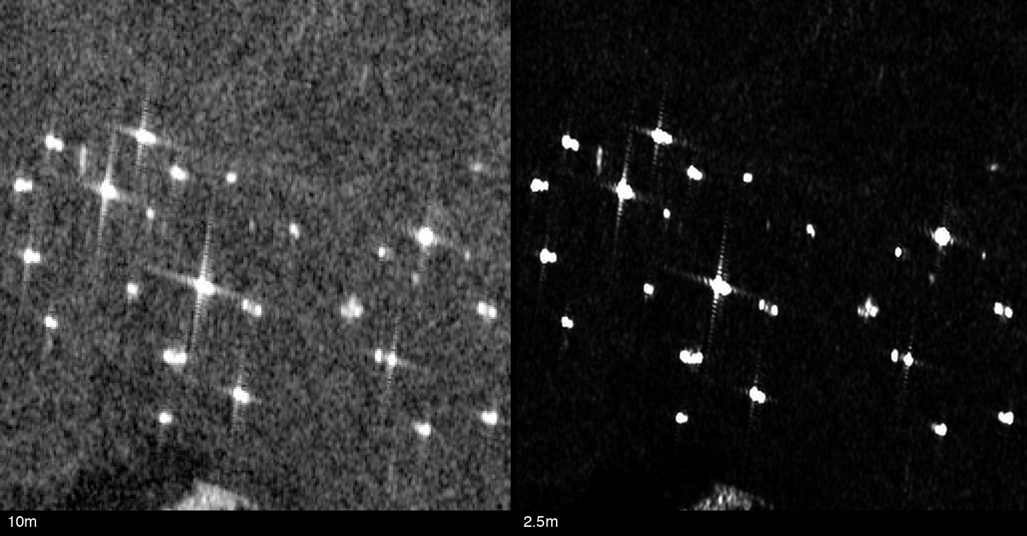
What you receive
Terrain-corrected 2.5m VV/VH radar GeoTIFFs, ascending and descending, for your AOI and dates