Critical Infrastructure Monitoring Coming soon
Monitoring of corridors and key sites — railroads, highways, pipelines, power lines, ports and more — for new construction, vegetation encroachment, floods, fires and slides.
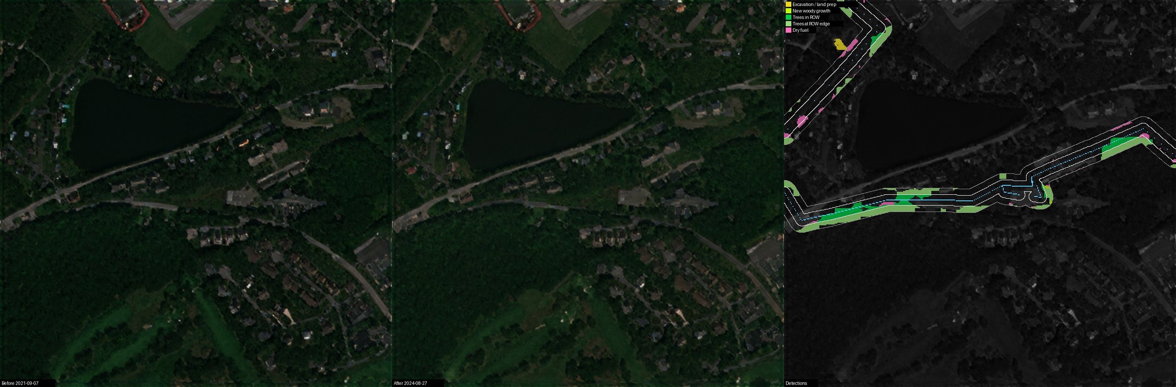
Corridor monitoring is the responsibility of many organizations owning a pathway along significant stretches, most of which have Right of Way (ROW) over their corridor. Critical site monitoring has a similar responsibility over a large number of isolated installations.
Corridor operators include:
- Railroads
- Highways
- Water authorities
- Electricity transmission
- Gas and oil pipelines
- Rivers
- Fiber-optic cables
Critical site operators include:
- Seaports and airports
- Communication operators like cellular
- Electricity sub-stations
- Military camps, airfields, seaports and other installations
All of these operators have a need and often obligations to monitor and handle a wide range of changes at or near the locations they are responsible for, including:
- New construction (often not theirs and illegal)
- Vegetation encroachment
- Floods
- Fires (active or recent) and fire hazards (such as dry vegetation)
- Rock and mud slides
- Erosion and washouts
- Third-party excavation and digging
- New unauthorized access roads and tracks
- Leaks and spills (water, oil)
- Illegal tapping and fuel theft
- Illegal dumping
- Sand encroachment (desert roads and railways)
Some of these, such as new construction, are flagged automatically; for the others, EarthToDate's frequent, up-to-date imagery lets you inspect your corridors and sites yourself, as often as you need.
Not supported at this time:
- Automatic detection of illegal dumping, sand encroachment, new access tracks, fuel theft and leaks (planned)
- Not feasible with this data: ground subsidence, buried pipe condition, conductor clearance height, events under cloud, tower faults, real-time intrusion and pipeline methane
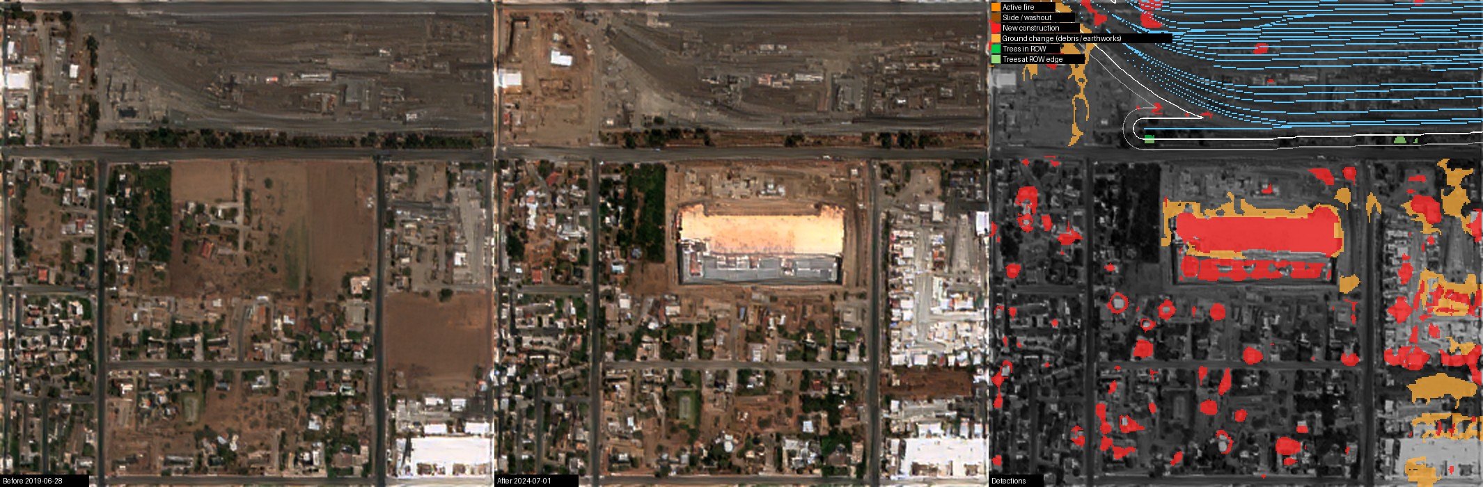
The leading cause of pipeline failures is third-party interference — unauthorized digging, construction and machinery on the right-of-way. EarthToDate New Construction Detection flags new buildings, and its land preparation class catches clearing and grading, often the earliest warning before a dig. Separating greenhouses keeps farm plastic from being mistaken for encroachment where corridors cross farmland.
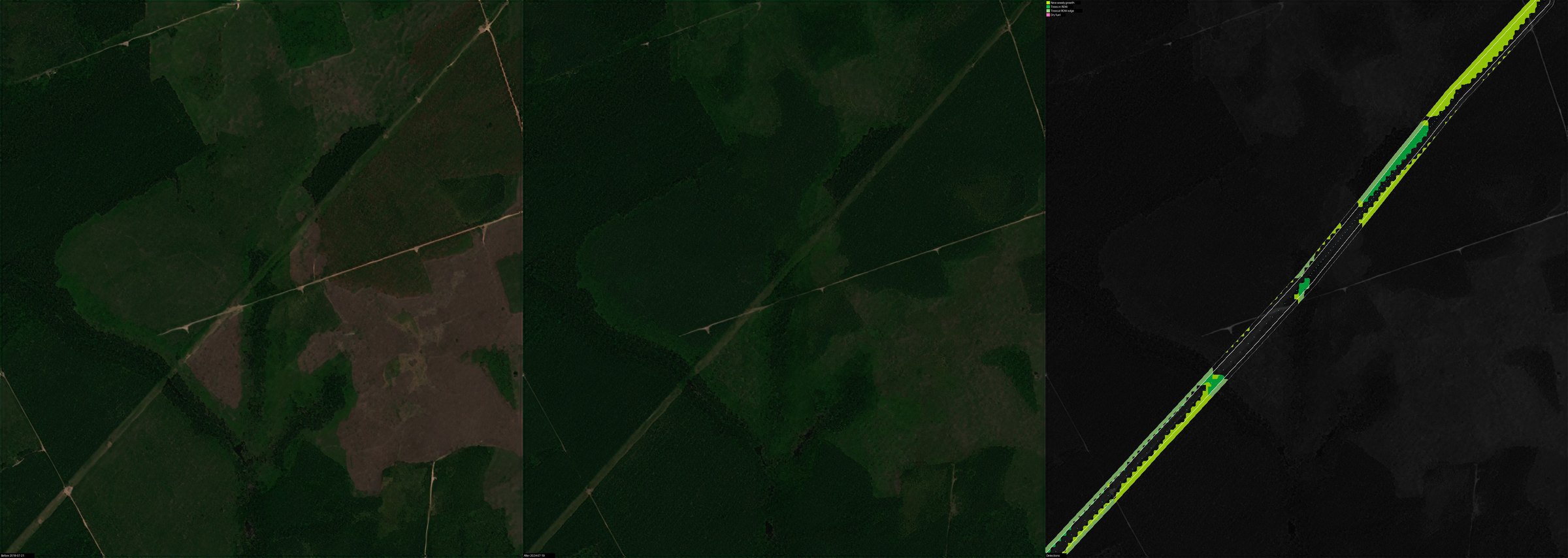
For power lines, vegetation growing into the conductor clearance zone is a leading cause of outages and wildfire ignition (regulated in the US under NERC FAC-003). EarthToDate flags where vegetation is present and growing; the clearance height itself needs LiDAR or stereo imagery.
Limits: optical imagery sees surface signs only — not buried-pipe condition or millimetre-scale ground motion, which need radar interferometry (InSAR) — and a dig opened and backfilled between passes can be missed. Slow threats such as regrowth, equipment staging, erosion and creeping encroachment are where continuous screening is strongest.

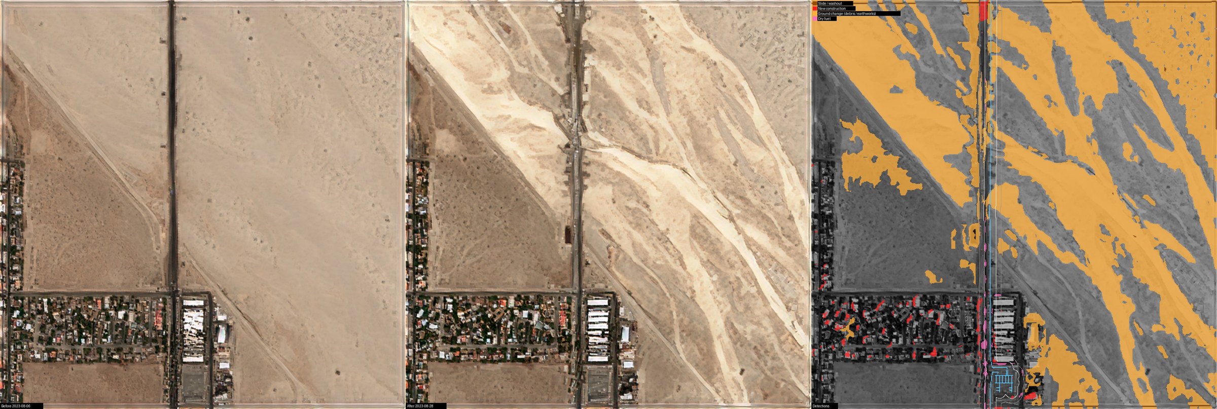
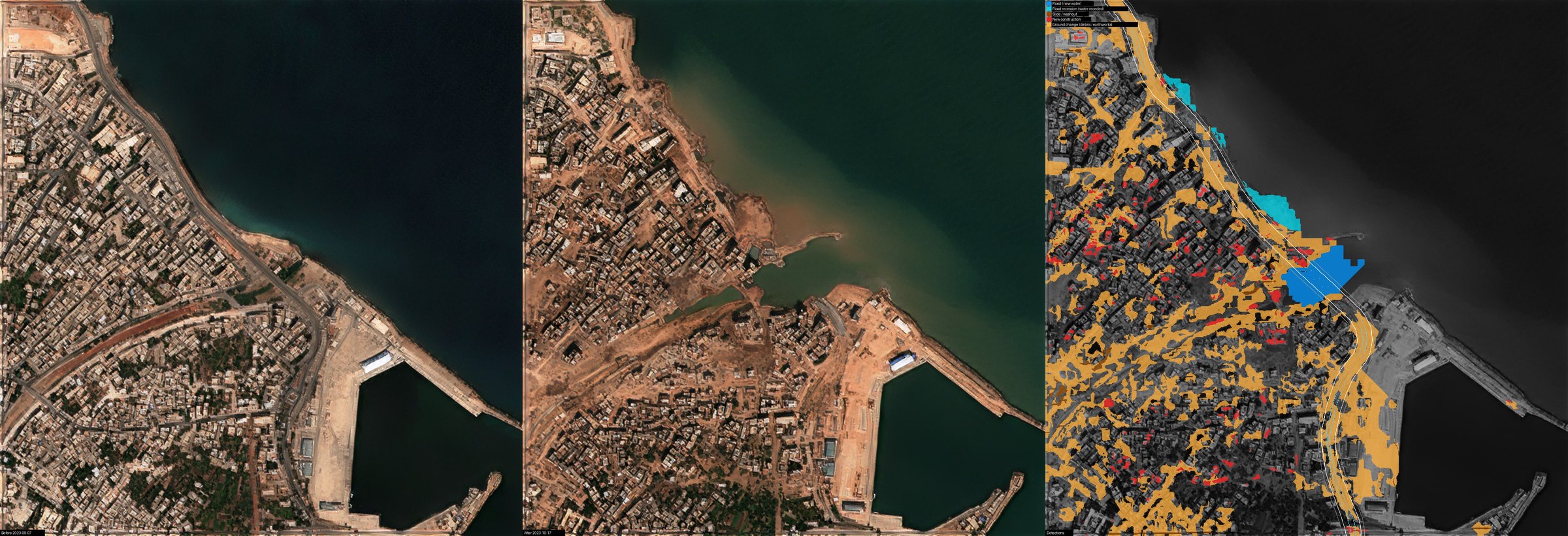
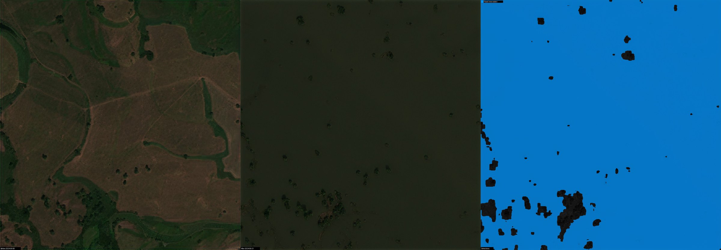
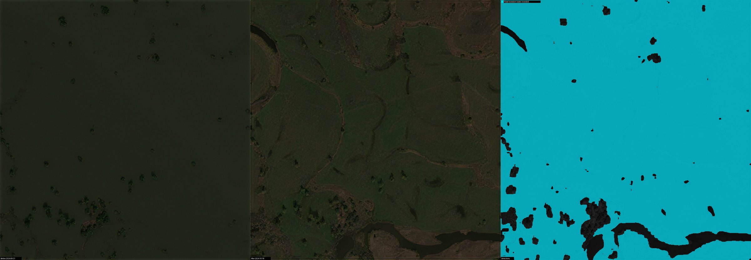
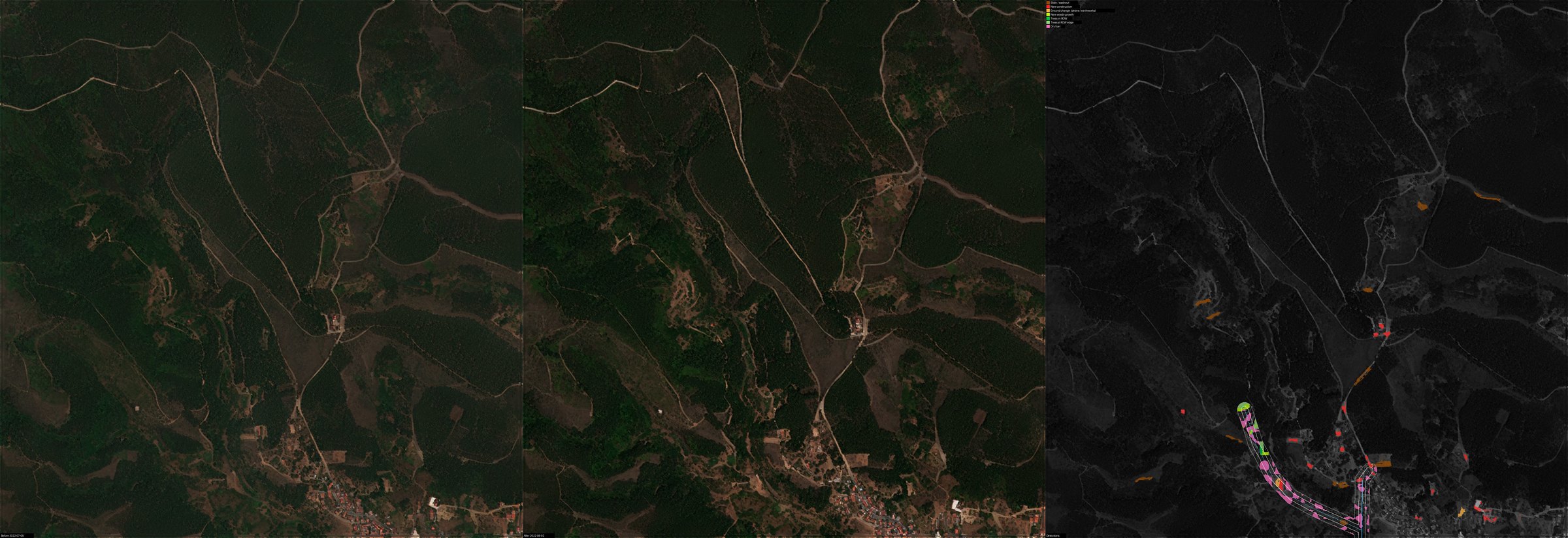
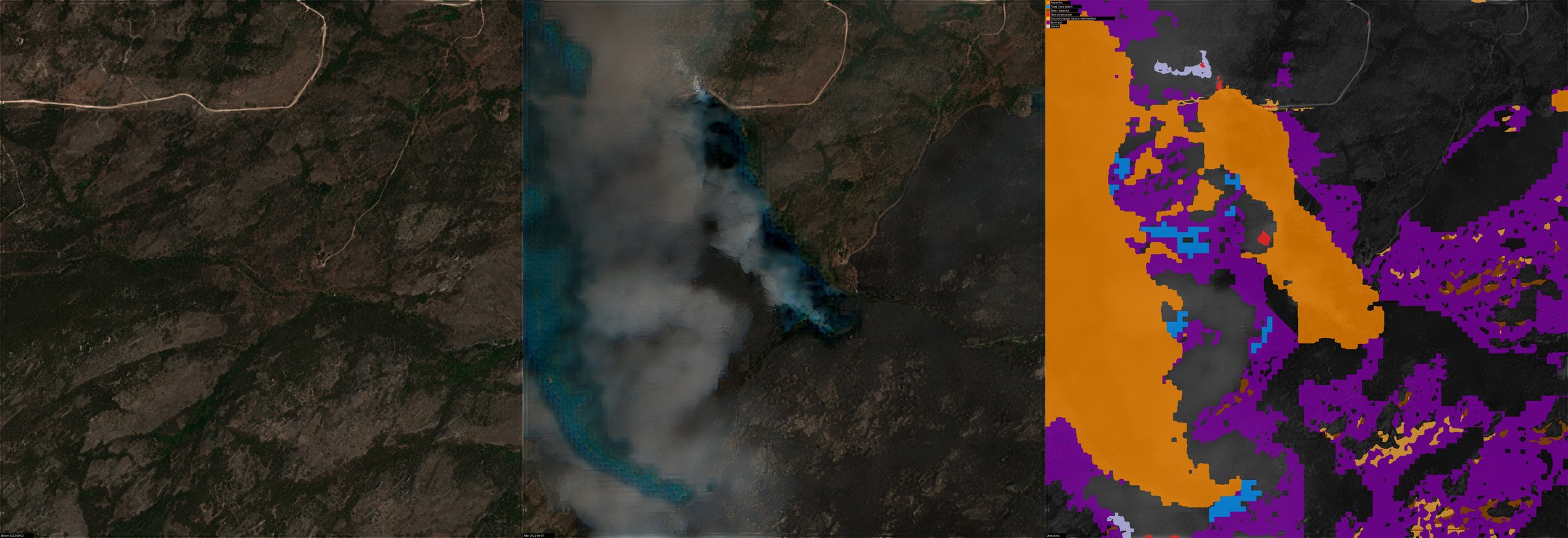
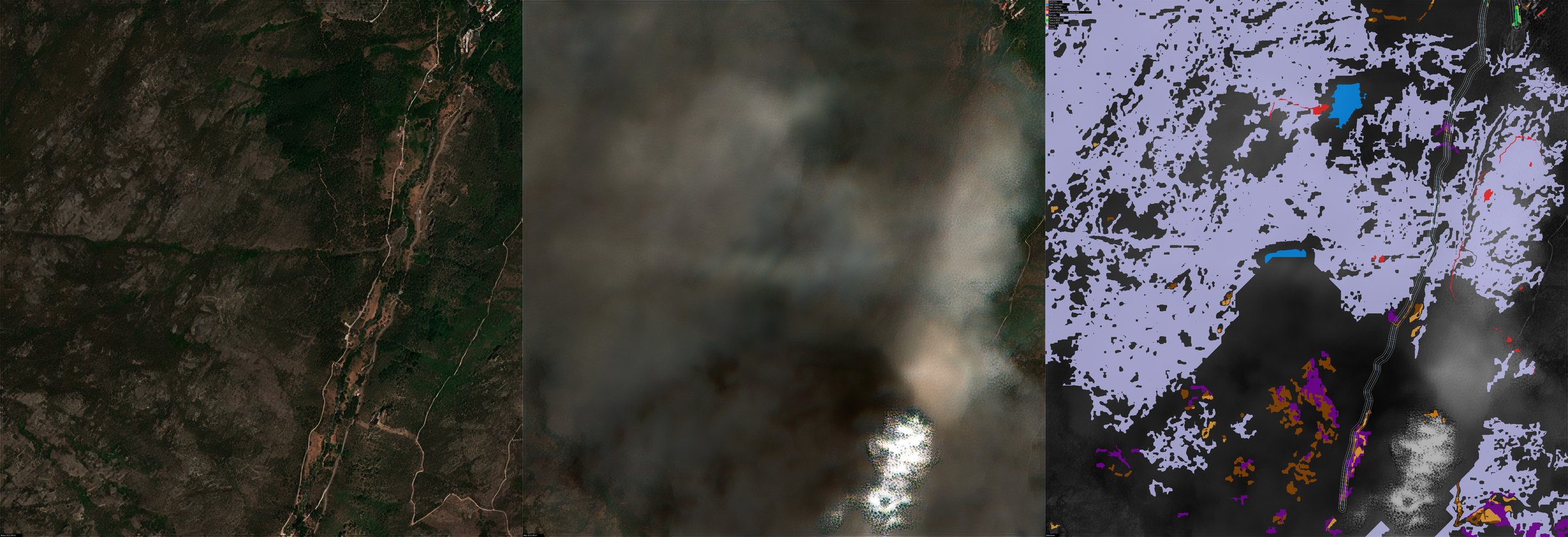
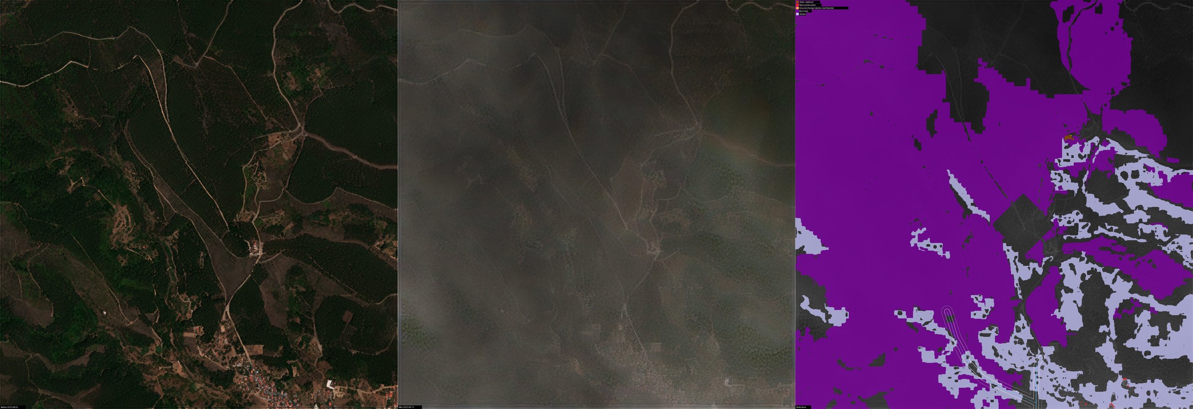
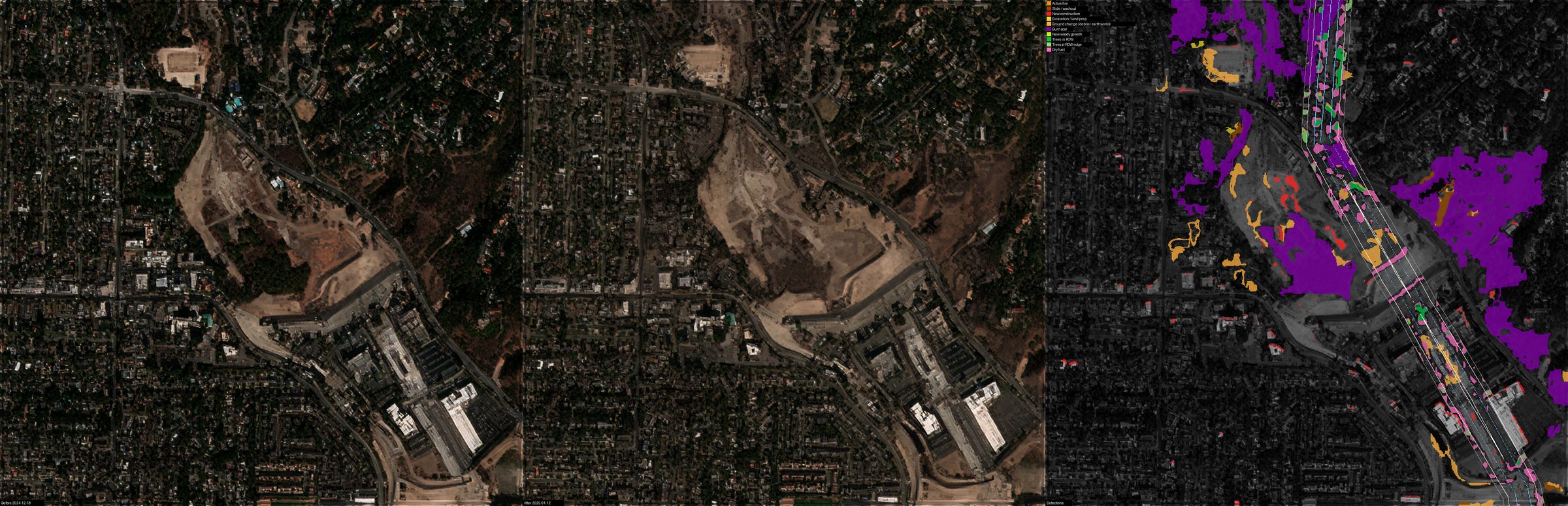
What you receive
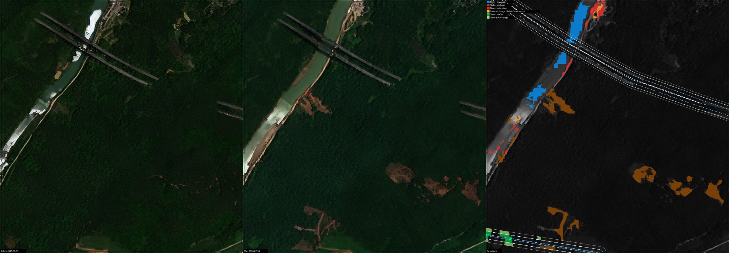
Change alerts along your corridors and at your sites