Surface Mineral Map
Hydrothermal alteration mapping at 2–4m from enhanced Sentinel-2 — four alteration indices, a composite score and a 7-class map; a sub-5m SWIR source since WorldView-3 retired.
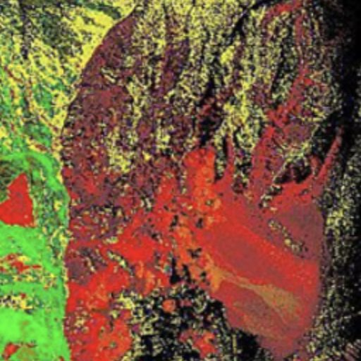
Surface mineral mapping finds exposed rock and soil whose spectral signature points to hydrothermal alteration — the surface footprint of many buried ore deposits — and is the basis of exploration targeting before drilling.
EarthToDate Surface Mineral Map works from Sentinel-2 enhanced to 2m (visible and near-infrared) and 4m (shortwave infrared, SWIR), and computes four alteration indices:
- Ferric iron — iron oxides such as hematite and goethite
- Iron species — separates hematite/jarosite-type from goethite-type iron, using Sentinel-2's narrow red-edge bands
- Hydroxyl-bearing minerals — clays, micas and carbonates
- Ferrous / propylitic — the outer alteration halo
The indices combine into a composite alteration score and a 7-class alteration map (unaltered, two ferric iron types, hydroxyl-bearing, ferrous/propylitic, mixed ferric and hydroxyl, and mixed multiple signatures), delivered as GeoTIFF layers with a legend, for areas up to 100km² per run. With two or more captures, each layer also gets a confidence score from how consistent it is over time.
Sentinel-2 shows where alteration is, but cannot tell similar minerals apart, such as kaolinite and white mica; that needs sensors with more SWIR bands (ASTER, EMIT, EnMAP), which EarthToDate is adding per area where scenes exist.
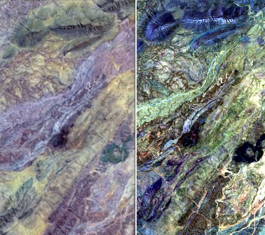
What you receive
Four alteration index layers, a composite score and a 7-class alteration map as GeoTIFF, for areas up to 100km²