Elevation
Worldwide DSM at 3m grid posting (often resampled to 1m), 0.5–1m absolute vertical accuracy in most locations, circa 2015.
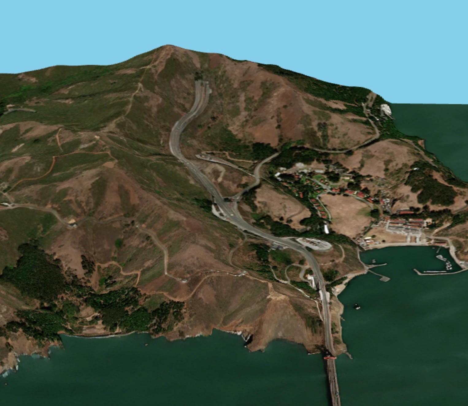
Digital elevation maps include the Digital Surface Model (DSM) and the Digital Terrain Model (DTM), which is built on the DSM. Note EarthToDate only provides DSM at this time.
DSM has a range of uses, including:
- Flood risk and hydrological modeling
- Terrain analysis for construction and routing
- Line-of-sight and telecom tower planning
- Orthorectification of imagery
- Landslide and erosion risk
- Slope/aspect analysis
Worldwide DSM is available at:
- Grid posting of 3m, often resampled to 1m to match imagery
- 0.5-1m absolute vertical accuracy in most locations
- Circa 2015 data
Coming soon: a recent worldwide elevation map.


What you receive
A DSM GeoTIFF at 3m grid posting (or resampled to 1m), 0.5–1m vertical accuracy, for your AOI