Natural Hazards and Disasters
Fire hazard, flood simulation and glacial lake outburst flood monitoring.
Fire Hazard Intelligence
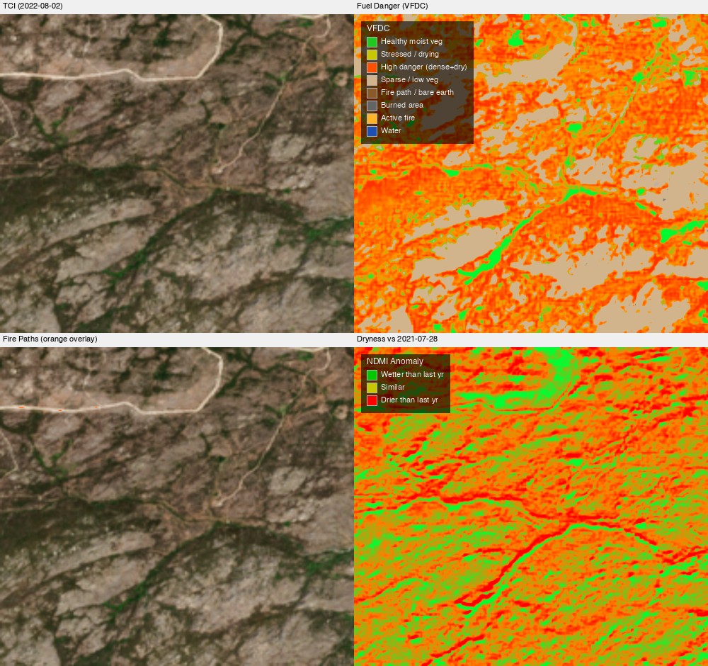
Many locations have ongoing concerns regarding managing fire hazard. The issue is primarily created by dry vegetation, and a major countermeasure is firebreaks. This obviously affects different locations at different times of the year.
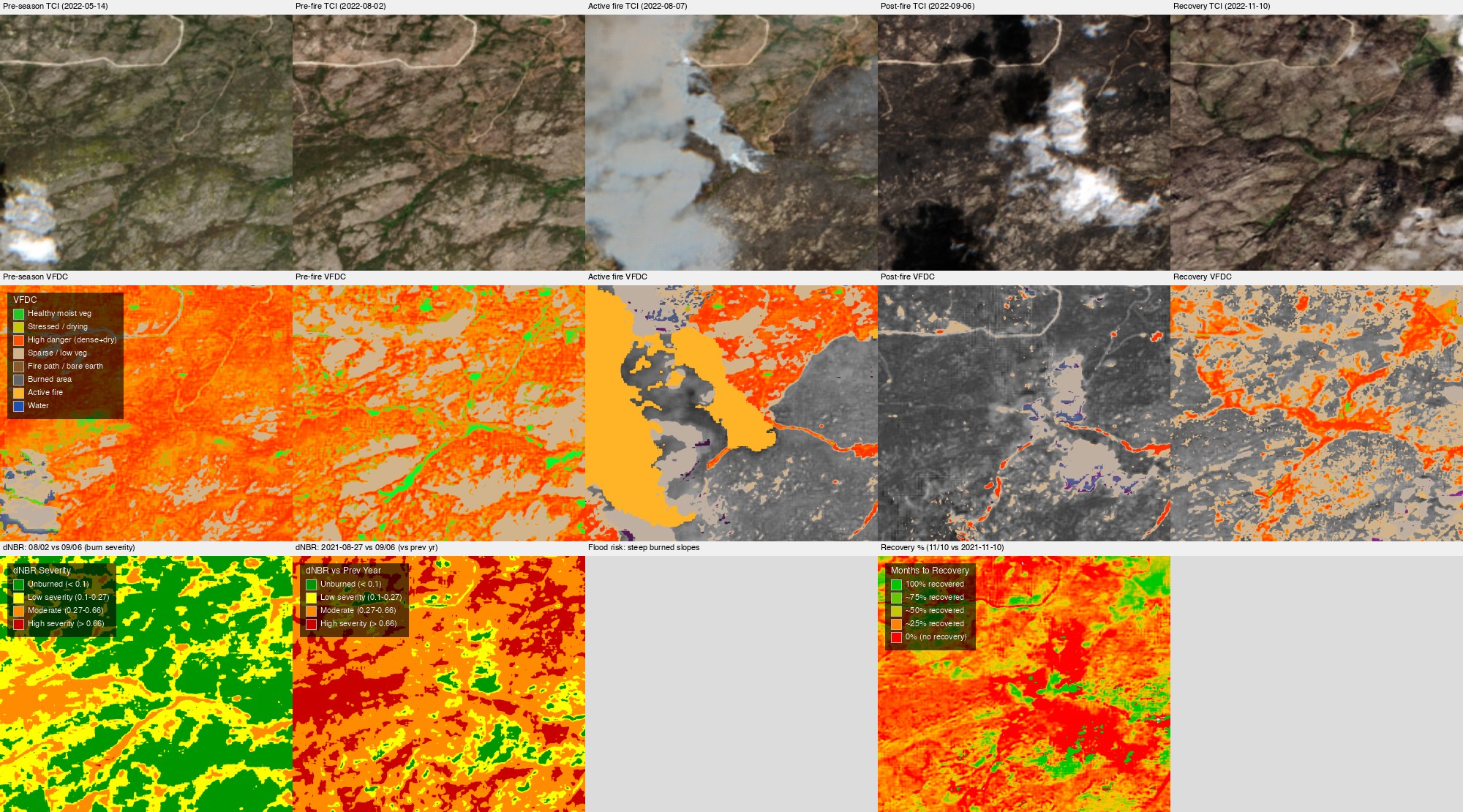
EarthToDate provides an end-to-end analysis with the following capabilities:
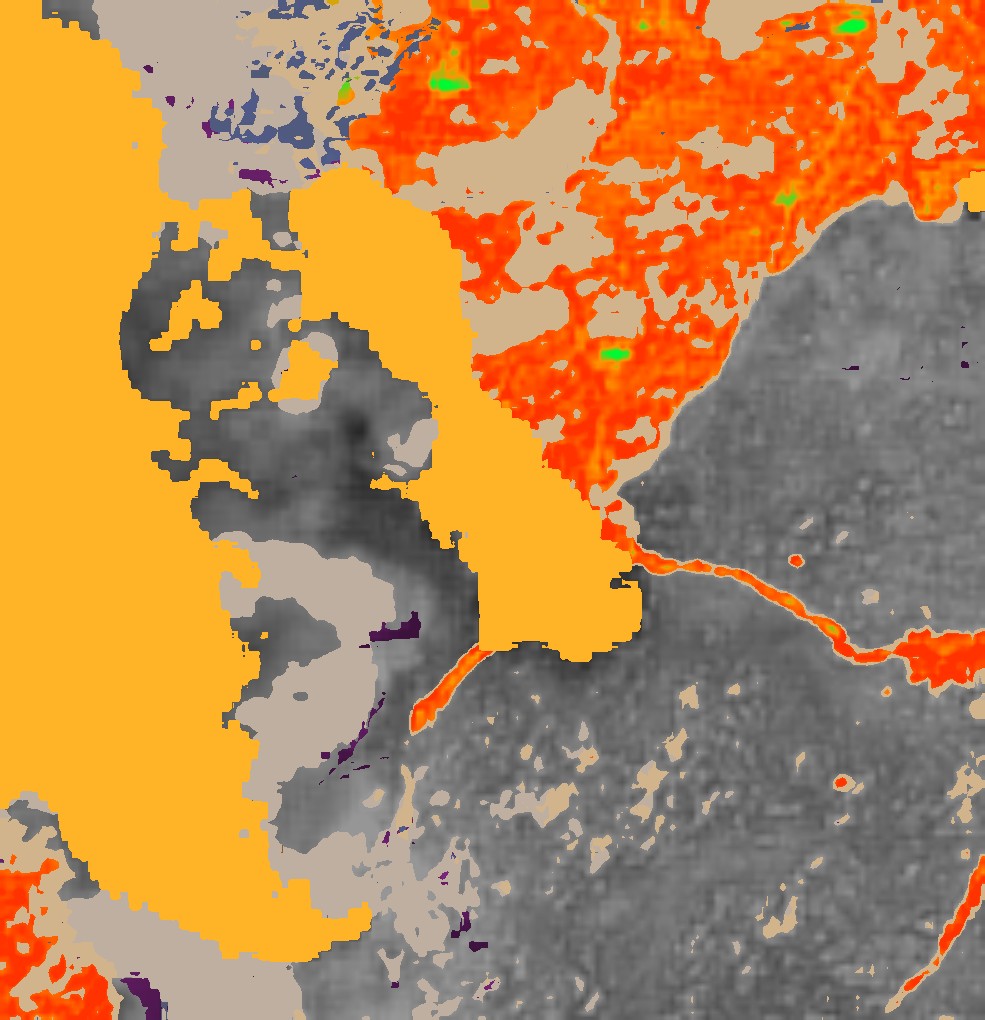
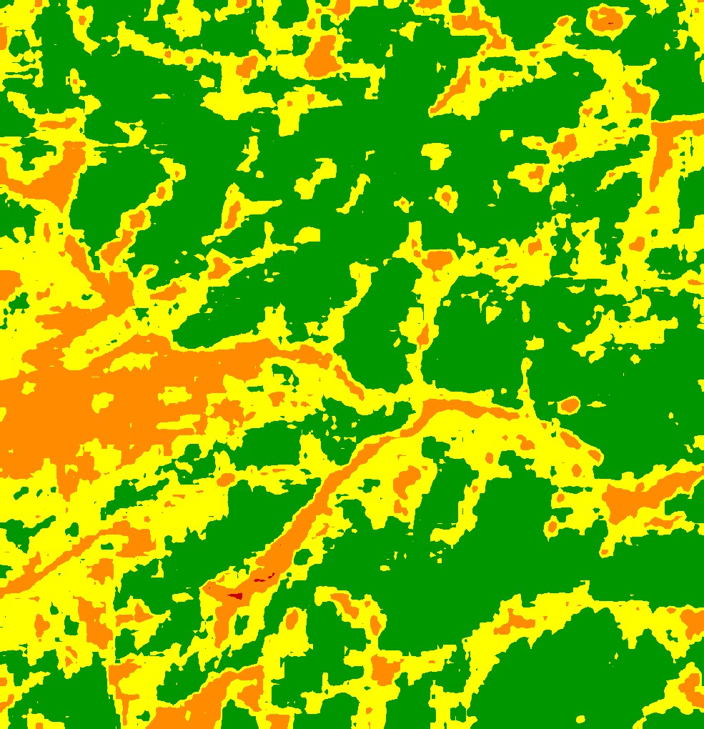
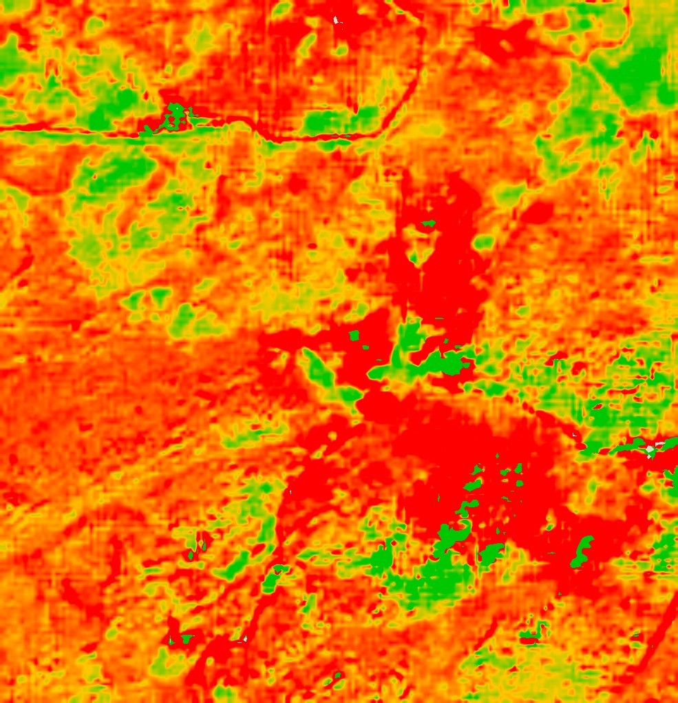
- Map the level of vegetation dryness as compared to last year as baseline, to monitor primary danger zones
- Present vegetation throughout the area, including over firebreaks that may need clearance which are invisible without EarthToDate enhanced GSD
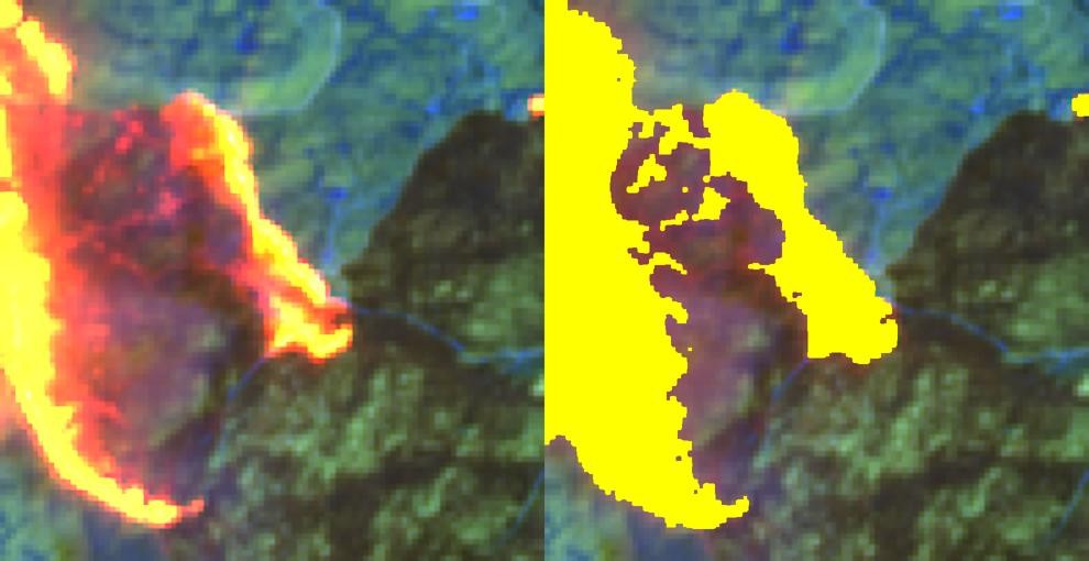
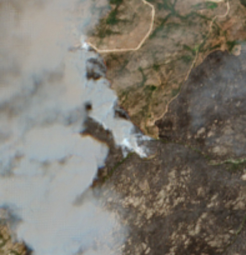
- Identify active fire if present at capture time, and visualize terrain through smoke using SWIR bands
- Map baked ground post-fire
- Project the direction of potential post-rain floods with post-fire debris, using bare terrain and the elevation map
- Project the time to full pre-fire recovery of each area once initial recovery starts
Flood Simulation
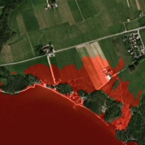
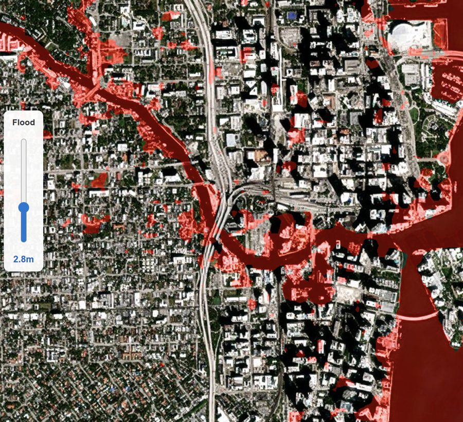
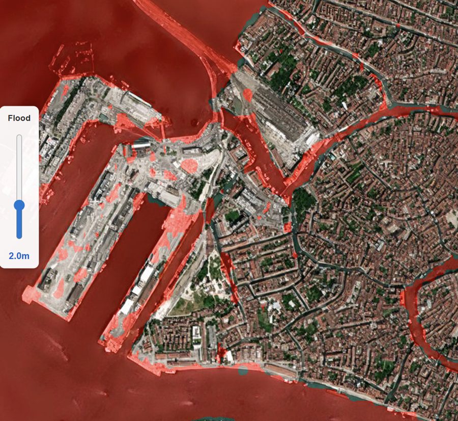
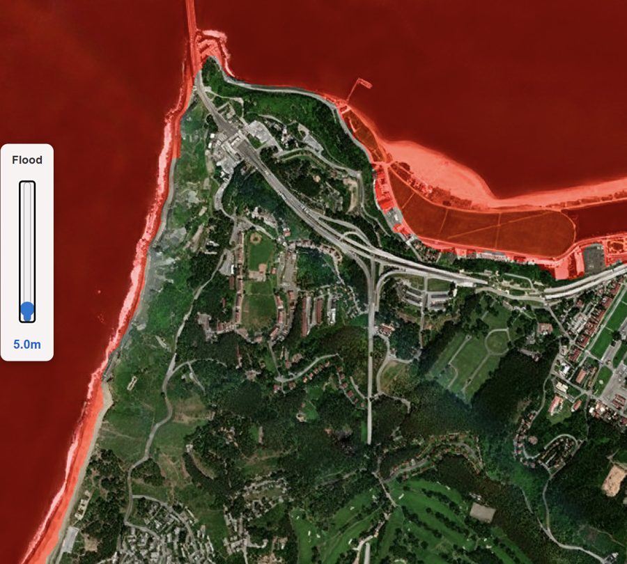
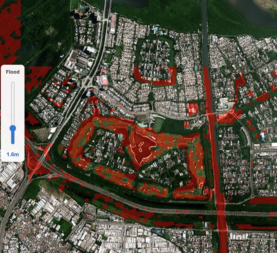
Potential floods from water bodies like seas and lakes, rivers and streams can be simulated using EarthToDate's worldwide elevation map with 0.5–1m vertical accuracy. The simulation raises the water level over the area to show the potential flood footprint; it does not model rainfall runoff or river flow.
GLOF (Glacial Lake Outburst Flood) Early Warning
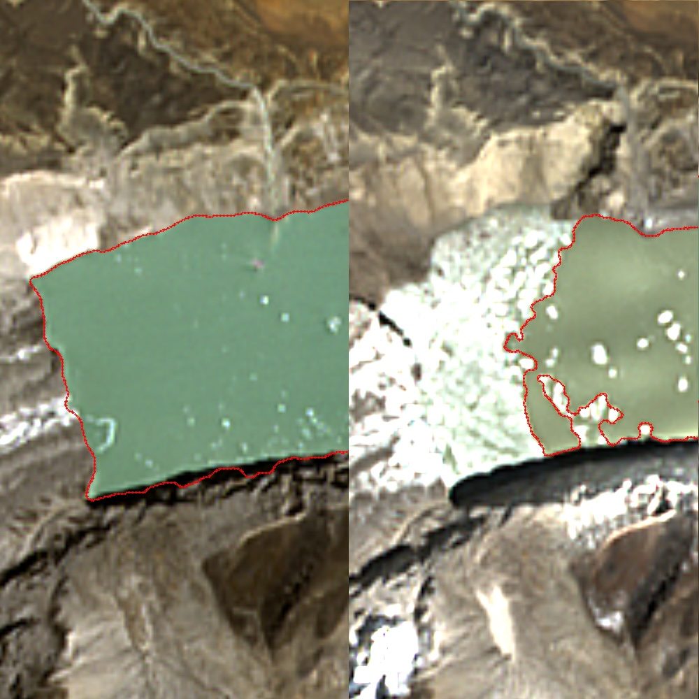
Glacial lakes pose an imminent danger to a large number of people and to infrastructure downstream. The Sikkim, India outburst of October 2023 (South Lhonak Lake) and the Rasuwa, Nepal flood of July 2025 are notable recent examples. Worldwide, about 15 million people live within 50km of a glacial lake and 1km of a potential flood path, across more than a thousand glacial lake basins in 30 countries. ICIMOD counts over 8,000 glacial lakes in the Hindu Kush Himalaya alone, up to 200 of them potentially dangerous.
GLOFs (glacial lake outburst floods) start as mountain lakes filling with melt water and rain. As water rises, debris flows and creates a new temporary moraine, which is not a stable natural rock edge. With time and rising water, the stress on these temporary moraines grows and they may break, releasing the excess water volume beyond the natural stable edge downstream.
EarthToDate implemented a monitoring facility with these capabilities:
- Identify the water edge using optical satellite imagery at enhanced higher resolution, with all-weather SAR sensor data to be added later
- Use EarthToDate's worldwide elevation data, much more accurate than the free elevation data sources used today, to calculate added water volume from the growing water surface
- Patent-pending method of identifying the excess water volume expected to be discharged when the moraine fails
- Automated analysis of all potential breaking points along the lake's edge, projecting the water stream along the terrain using EarthToDate's elevation map
Validated on the South Lhonak outburst of October 2023: EarthToDate estimated 49 million m³ of released water, within the 38–50 million m³ reported by ISRO.