AIS (Automatic Identification System) over SAR
Worldwide reported ship identity, location, heading and speed over the last 14 days on basemaps; coming up: matching ships seen in SAR, including dark ships.
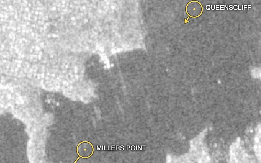
AIS (Automatic Identification System) is an international standard under which ships are required to frequently broadcast their identity, location, heading and speed.
Some ships fail to do so, called "dark ships" — some due to real malfunction, others while carrying out military or illegal activities, including:
- Fishing when and where not permitted
- Transfer of sanctioned goods at sea, like oil from sanctioned sources, or weapons
- Military activity where the operator wants to conceal their presence
- Smuggling of people, drugs or goods
- Identity spoofing — broadcasting a false name or position
EarthToDate ingests worldwide AIS updates from nearshore transmissions over the last 14 days, providing these capabilities:
- Up-to-date ship identity, location, heading and speed, as reported, presented on basemaps
- Coming up: coupled with all-weather SAR data, associating each ship at sea or nearshore with the nearest reported AIS update, or the likely identity of a dark ship from its last relevant update (accuracy varies widely)
AIS is mandatory for ships of 300 gross tonnage and up on international voyages and for all passenger ships, so smaller vessels may not report at all. Nearshore AIS is received by coastal stations, typically reaching 40–75km offshore; open-ocean coverage requires satellite AIS.
What you receive
Reported ship positions with identity, heading and speed over your area, on a basemap