Exploration Geology Maps
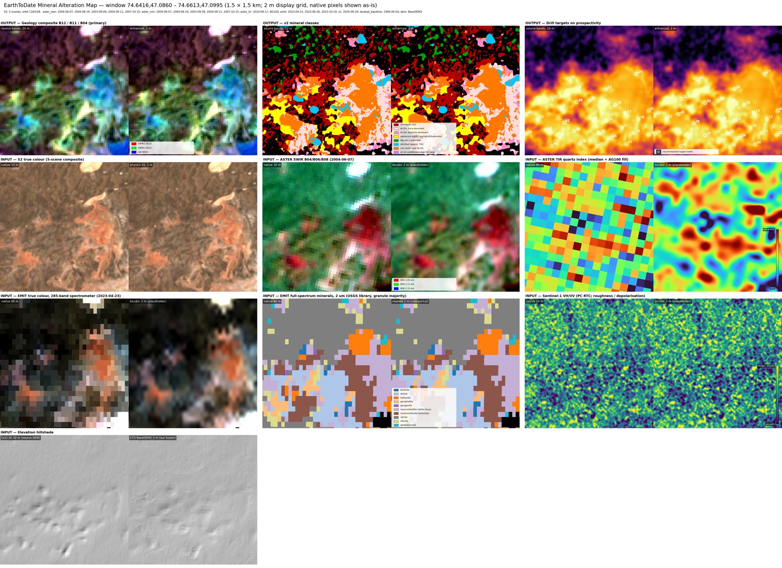
Mineral Alteration Map and Geological Structure & Strata Map — both from one processing run of an area up to 100km².
Surface mineral mapping finds exposed rock and soil whose spectral signature points to hydrothermal alteration — the surface footprint of many buried ore deposits — and is the basis of exploration targeting before drilling.
Two maps from one processing run of your area: where the rock is altered and which minerals it holds, and how the rock is faulted and layered.
Mineral Alteration Map
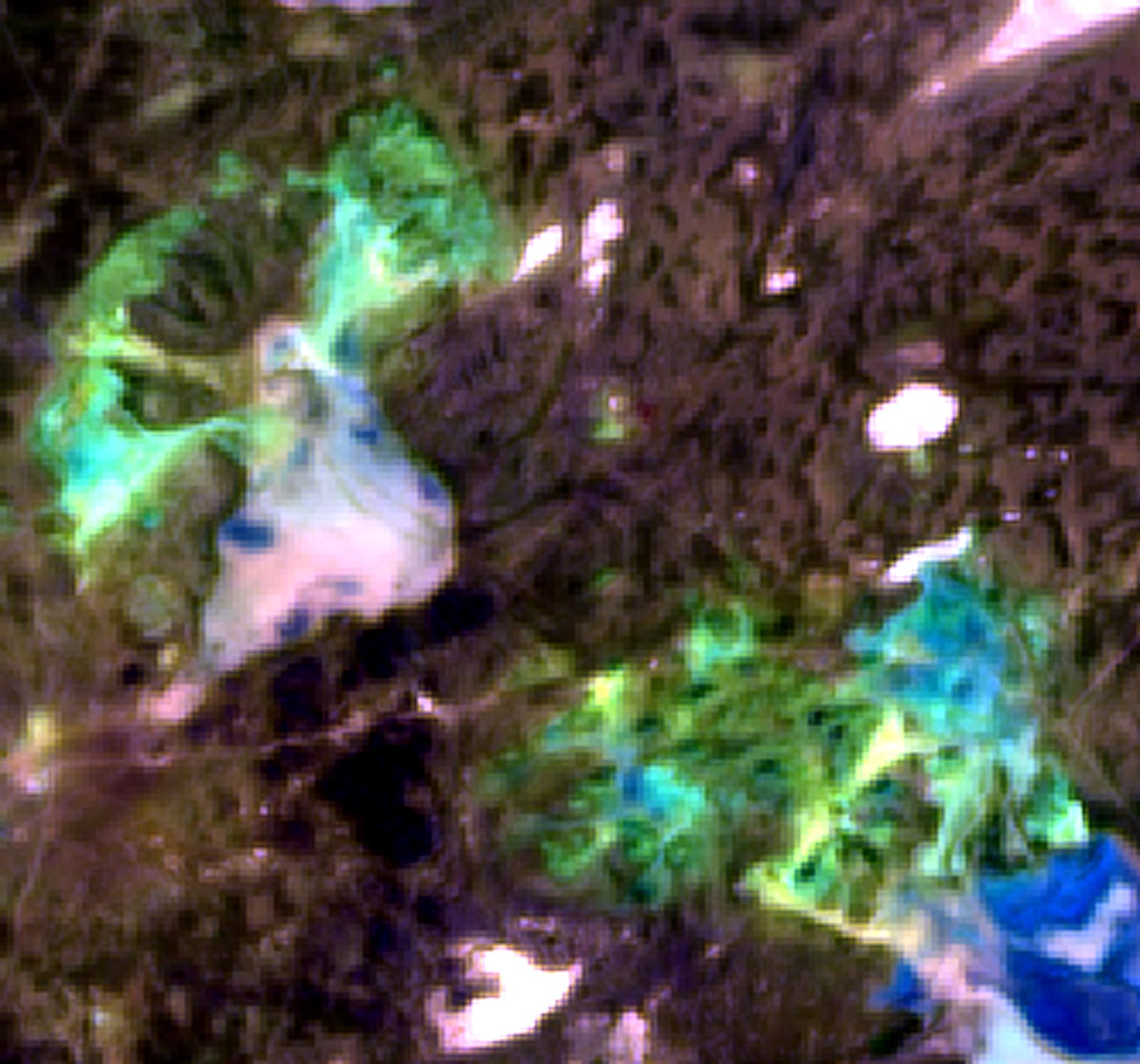
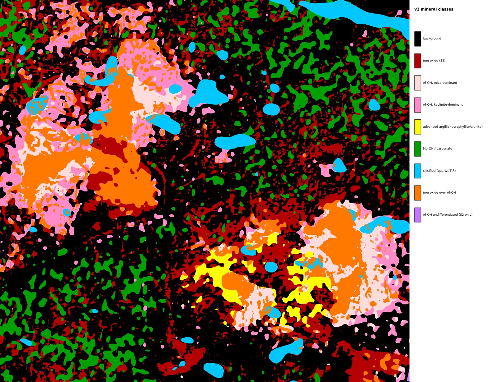
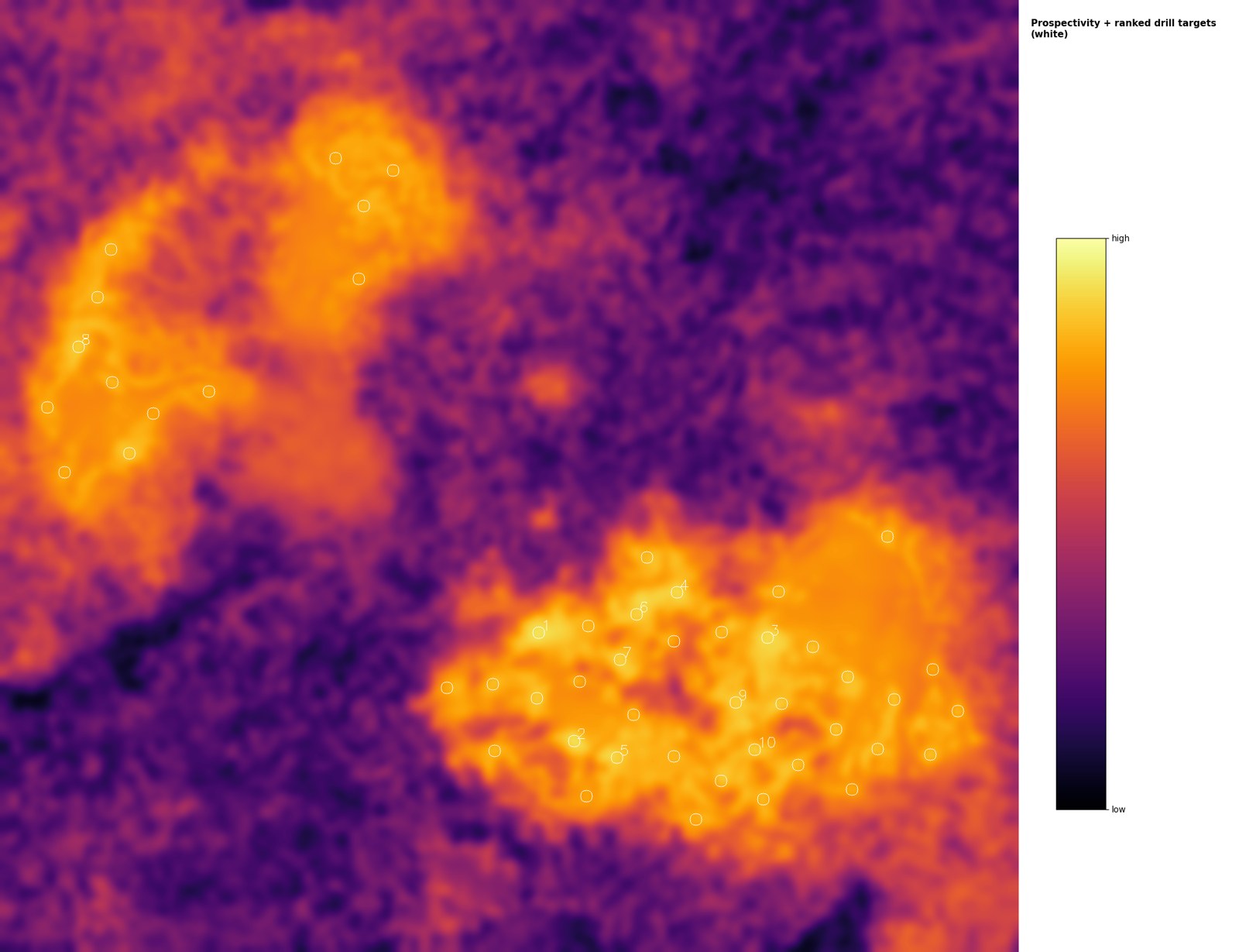
Shows where surface rock is hydrothermally altered, which minerals are present, and where to drill first, with a reason for each target.
Detected minerals:
- Iron oxides — hematite, goethite, jarosite
- Kaolinite group
- White mica — sericite, illite, muscovite, paragonite
- Advanced argillic — pyrophyllite, alunite, diaspore
- Smectite, chlorite, epidote
- Carbonates — calcite, dolomite, magnesite
- Gypsum, silica/quartz, Mg-OH minerals
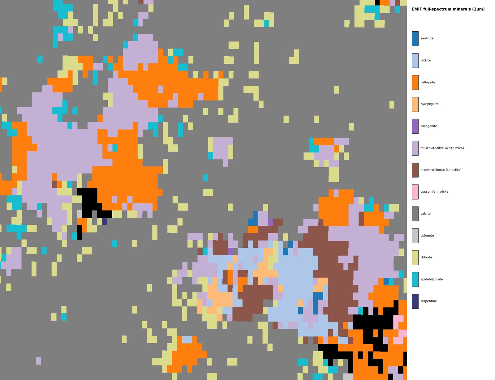
Vegetation is masked. Sources: Sentinel-2 enhanced to 2m (visible and near-infrared) and 4m (shortwave infrared), ASTER, EMIT hyperspectral, EarthToDate BaseDEM2, and Landsat 1984–1995 as a pre-disturbance baseline.
Validation at Karabas, Kazakhstan, against the client's geological map and drill holes (bare ground):
- Of the 10% of the area ranked highest, 95% is altered rock
- 42 of 44 drill targets (95%) are on mapped altered rock, 11 of them on advanced argillic alteration, the most intense
- Kaolinite vs white mica: 16 of 20 drill holes correct (NASA's EMIT product: 11 of 23); 89% at Bowdens, Australia
Works only on bare ground: each map carries a confidence level from its share of bare ground (high at 50% or more, medium, low), and areas with less than 5% bare ground are refused.
Geological Structure & Strata Map
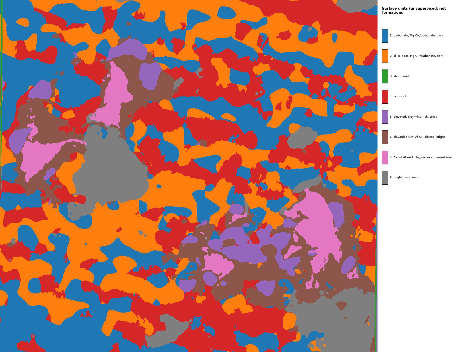
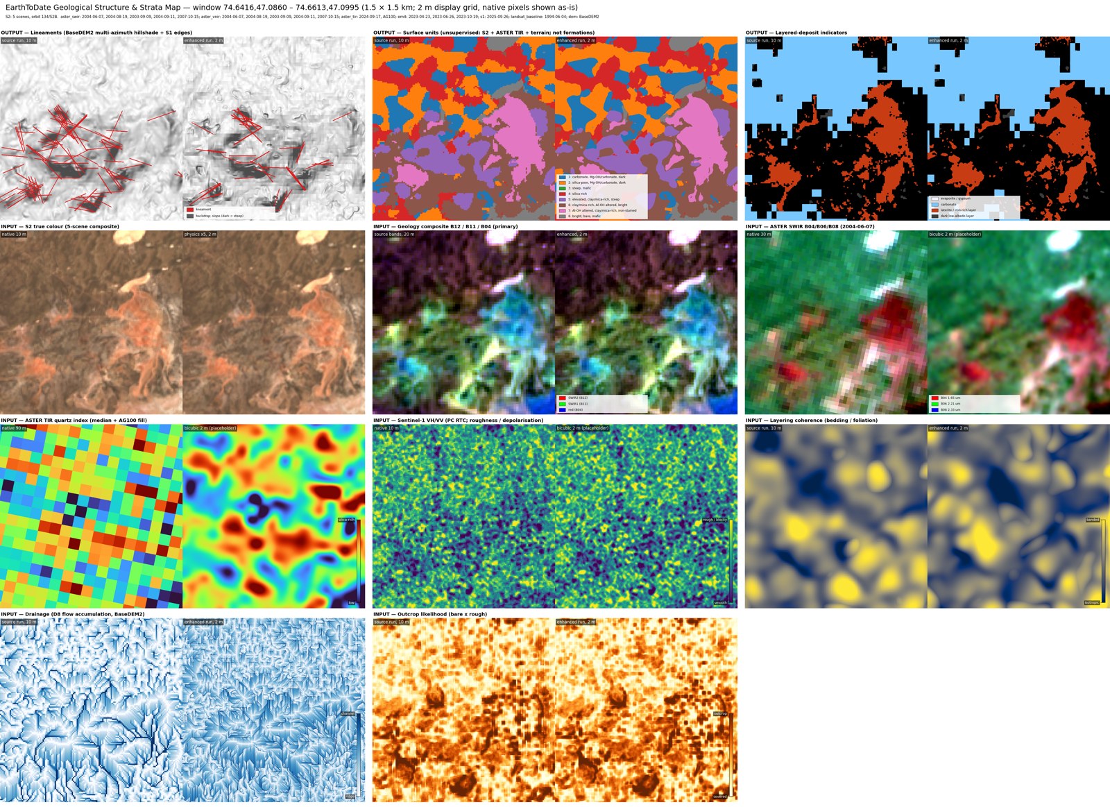
Maps fault lines, rock layering and surface types, for deposits controlled by structure or layering.
Layers:
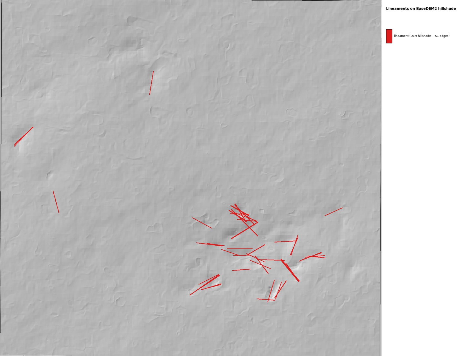
- Fault lines
- Rock layering and strike
- Landforms, drainage and outcrop
- Surface units — ground grouped by how the surface looks (brightness, vegetation, clay, iron, slope, quartz), each named by its traits
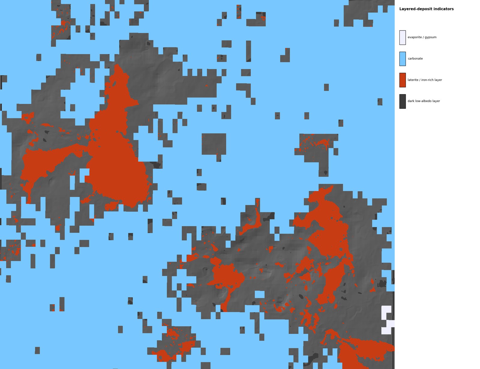
- Layered-deposit indicators — evaporite/gypsum, carbonate, laterite/iron layer, dark layers (coal or organic-shale candidates)
For structurally controlled ore and stratabound deposits: coal, oil shale, phosphate, evaporites, placers, roll-front uranium, laterite/bauxite.
Validation at Karabas: 50% of our fault lines lie on mapped faults, and we find about 1 in 5 mapped faults.