Enhanced Multispectral
Sentinel-2 → 2m / 4m, 10 bands
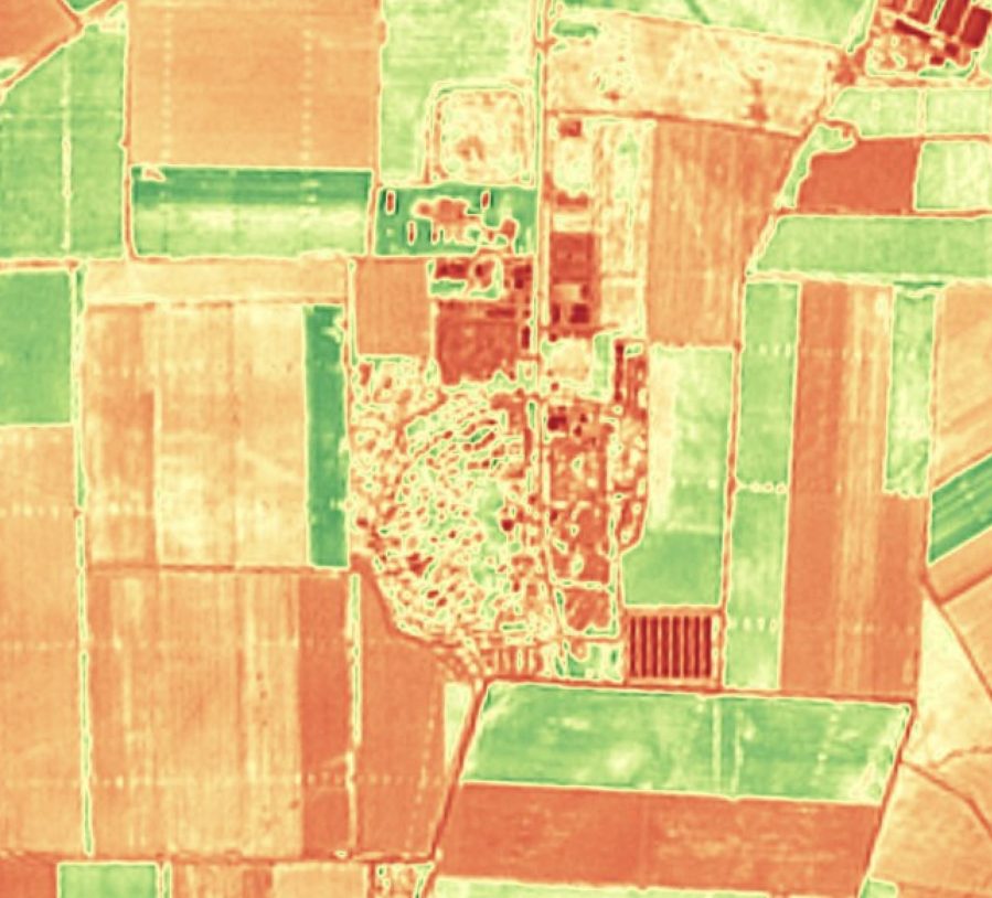
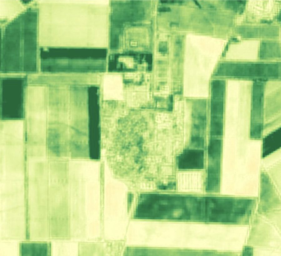
Most EarthToDate analytics are not built on the visible picture but on the full spectrum. Each Sentinel-2 acquisition carries ten calibrated bands from visible through red-edge to two shortwave-infrared channels — the wavelengths that reveal vegetation health, water content, burn signatures, and mineral alteration invisible to the eye.
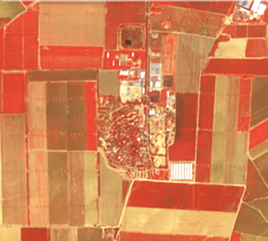
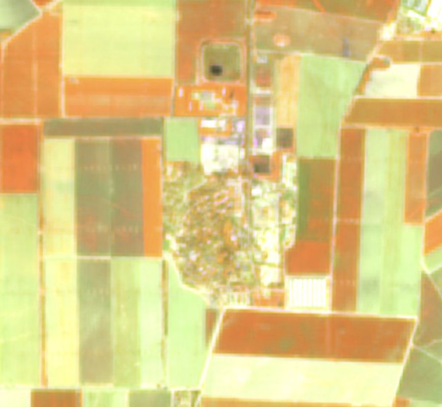
We enhance four bands to 2m and six (including both SWIR bands) to 4m, preserving radiometric integrity so derived indices stay physically meaningful. Critically, B12 SWIR at 4m exists nowhere else commercially since WorldView-3 reached end of life in December 2025.
From this one stack we compute NDVI for vegetation density, NDMI and moisture-stress indices for water content, NBR for burn severity, and alteration indices for mineral mapping — every index sharing the same geometry, the same archive back to 2015, and the same 2–5 day refresh.
Frequently asked questions
What is Enhanced Multispectral?
Most EarthToDate analytics are not built on the visible picture but on the full spectrum. Each Sentinel-2 acquisition carries ten calibrated bands from visible through red-edge to two shortwave-infrared channels — the wavelengths that reveal vegetation health, water content, burn signatures, and mineral alteration invisible to the eye.
What data and resolution does Enhanced Multispectral use?
Ten calibrated spectral bands at 2–4m — the analytical engine behind NDVI, moisture, burn, and mineral indexes. (Sentinel-2 → 2m / 4m, 10 bands)
How does Enhanced Multispectral compare to the alternatives?
We enhance four bands to 2m and six (including both SWIR bands) to 4m, preserving radiometric integrity so derived indices stay physically meaningful. Critically, B12 SWIR at 4m exists nowhere else commercially since WorldView-3 reached end of life in December 2025.
Where and how often is it available?
From this one stack we compute NDVI for vegetation density, NDMI and moisture-stress indices for water content, NBR for burn severity, and alteration indices for mineral mapping — every index sharing the same geometry, the same archive back to 2015, and the same 2–5 day refresh.