Disaster & Flood
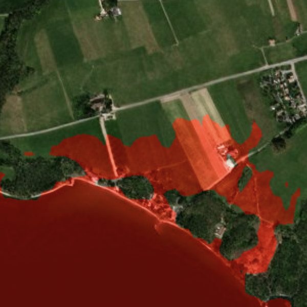
Credible flood and hazard planning is a terrain problem: the answer to "what floods if water reaches this height" depends on elevation accuracy that public 30m DEMs simply do not have. The result is risk maps with error bands too wide to act on.
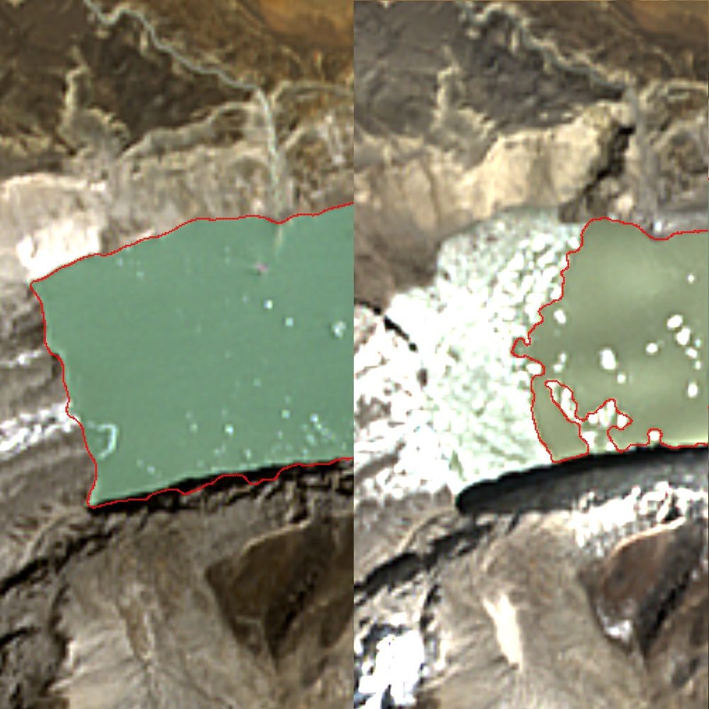
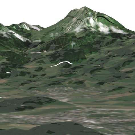
EarthToDate runs inundation and discharge modelling over a globally-validated 1m BaseDEM at 0.5–1m vertical accuracy, rendered over Refined Reality 1m imagery. Flood Simulation answers the height-to-footprint question anywhere; GLOF Early Warning models the water actually released by a breaching glacial lake and where it would travel.
The same terrain engine extends to dam-breach scenarios and post-fire debris cascades — one consistent, worldwide elevation foundation under every water-and-hazard question.
Data sources behind them
Elevation (BaseDEM)
A global 1m elevation model within a metre of LiDAR — the terrain layer no free or commercial product matches.
More info →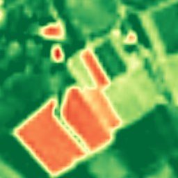
Enhanced Multispectral
Ten calibrated spectral bands at 2–4m — the analytical engine behind NDVI, moisture, burn, and mineral indexes.
More info →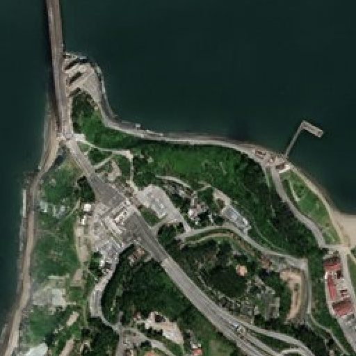
Enhanced Visual
Physics-based 1m true-color, refreshed every 2–5 days, with no super-resolution hallucinations.
More info →Frequently asked questions
How does EarthToDate serve Disaster?
Credible flood and hazard planning is a terrain problem: the answer to "what floods if water reaches this height" depends on elevation accuracy that public 30m DEMs simply do not have. The result is risk maps with error bands too wide to act on.
Which EarthToDate products apply to Disaster & Flood?
Solutions: Flood Simulation, GLOF Early Warning. Data sources: Elevation (BaseDEM), Enhanced Multispectral, Enhanced Visual.
Why EarthToDate over the alternatives?
The same terrain engine extends to dam-breach scenarios and post-fire debris cascades — one consistent, worldwide elevation foundation under every water-and-hazard question.