Monitor any area on Earth at the resolution that matters.
Every major satellite and aerial source, fused into one continuously refreshed platform — enhanced with physics-based processing, not hallucinated super-resolution — and turned into decision-ready industry solutions.
Solutions in the field today
A few of the operational products running worldwide on the EarthToDate platform.
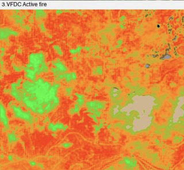
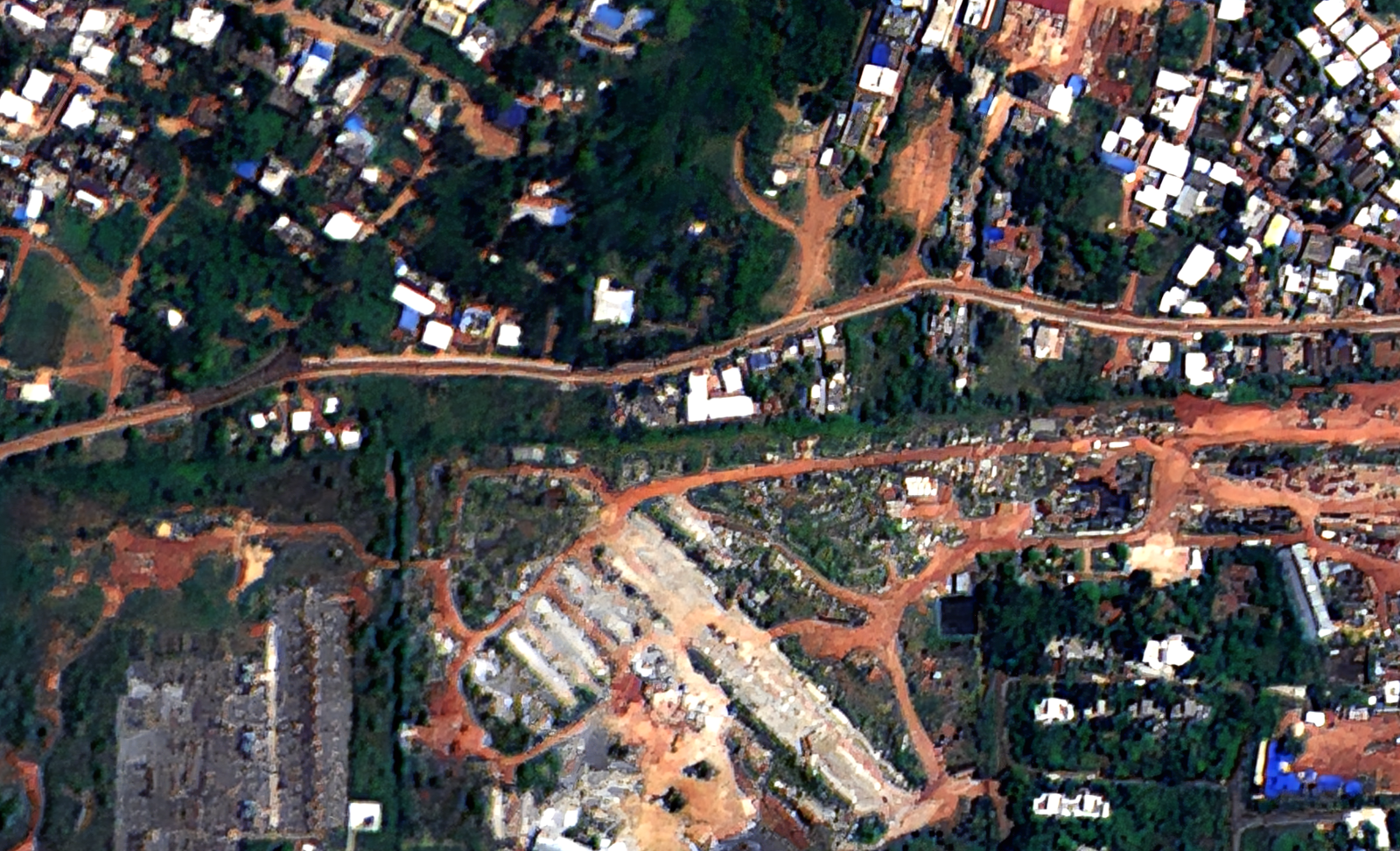
Corridor Watching
Continuous watch over pipelines, transmission lines, railways, and borders for encroachment and change.
More info →
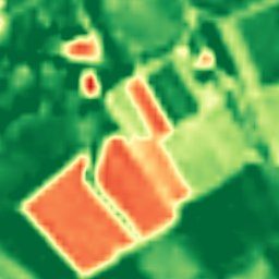
Illegal Construction
Pixels that are built now but weren't months ago — automated detection of unpermitted construction at national scale.
More info →
Mining & Exploration
From greenfield targeting to operational and regulatory monitoring — alteration mapping, site detection, terrain, and frequent imagery in one stack.
More info →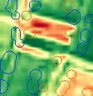
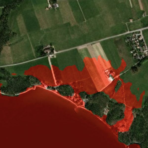
Industry Solutions
Purpose-built analytics for mining, agriculture, fire, water, infrastructure, and disaster — each combining the ETD sources and products that industry needs.
Explore industries →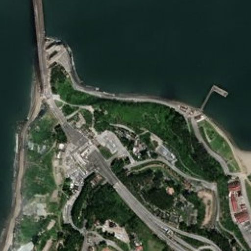
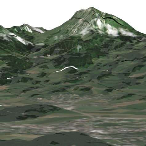
Data Sources
Enhanced visual, SAR, multispectral, basemap, nightlight, elevation, and aerial — every layer worldwide and continuously kept up to date.
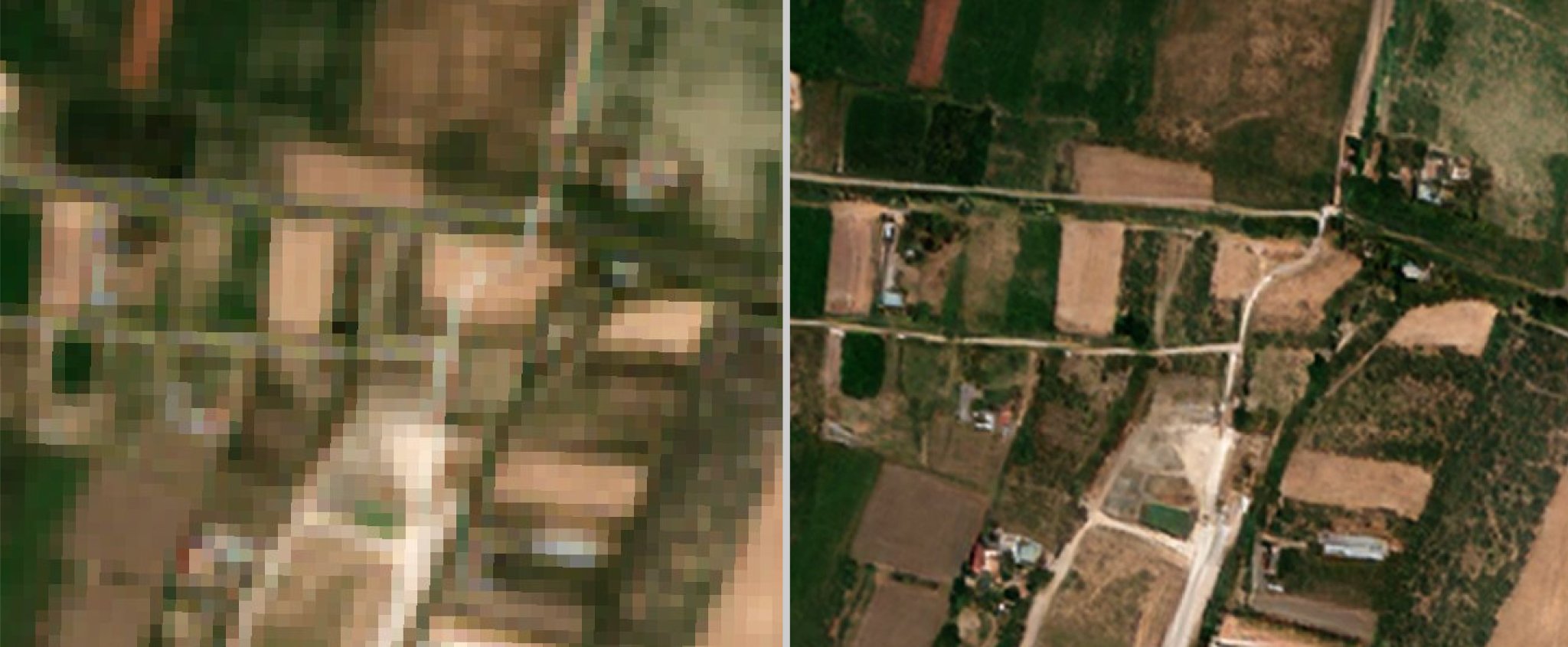
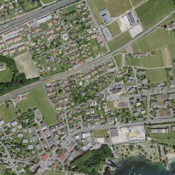
Explore data sources →Enhanced satellite visual imagery
EarthToDate's enhancement engine reconstructs sharper, cleaner imagery from virtually any sensor — commercial or free, optical or radar — with almost no artefacts. The same physics-based processing lifts detail without inventing it, whatever the source.
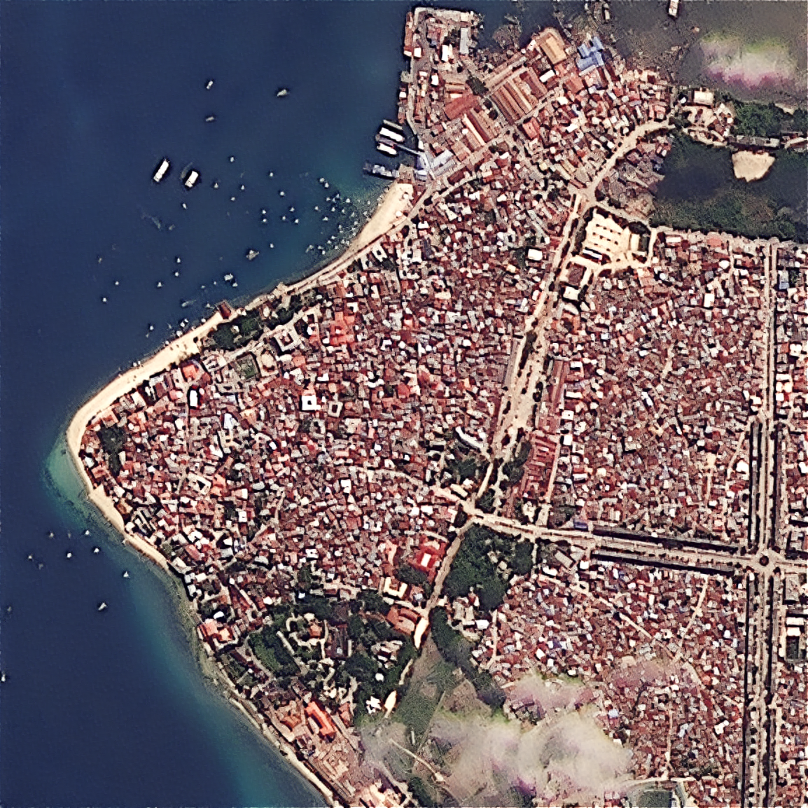
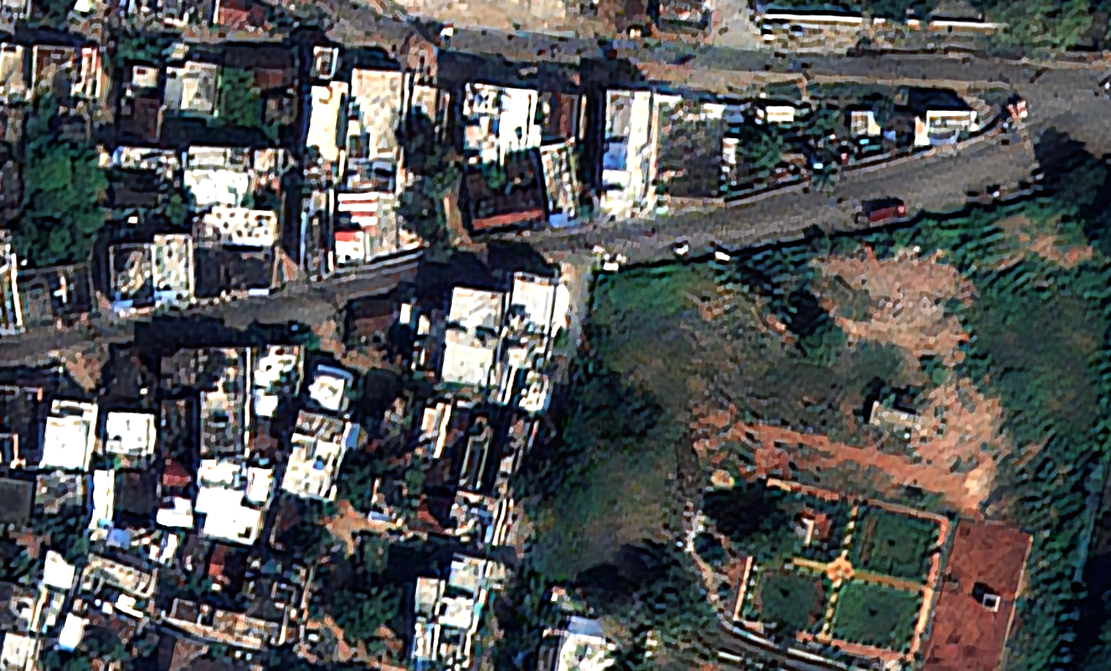
Enhanced imagery gallery
Enhanced captures from BlackSky, PlanetScope, Satellogic, SPOT and more — one processing engine across every sensor. Each is downloadable as a GeoTIFF.
Open the gallery →From our field notes
How resolution, cadence and processing decide whether a satellite product is actually usable.
Worldwide air quality from orbit: Sentinel-5P, absolute and year-on-year
Sentinel-5P measures NO₂, SO₂, CO, CH₄, HCHO and aerosols daily, worldwide. Why the year-on-year delta against a same-period baseline beats a single snapshot for spotting real change.
Read →GLOF early warning: model the water that actually flows
Most glacial-lake risk assessments report total lake volume — the wrong number. What determines downstream impact is the volume that would actually discharge if the moraine fails, and that needs a metre-accurate DEM.
Read →Why pansharpening fails on some satellites — and how to fix it
Panchromatic and multispectral bands aren't always co-registered. On off-nadir RPC products the offset varies across the scene, producing colour fringing that a single shift can't remove. A measure-then-align approach.
Read →