Enhancement
Enhanced satellite visual imagery
EarthToDate's enhancement engine reconstructs sharper, cleaner imagery from virtually any sensor — commercial or free, optical or radar — with almost no artefacts. The same physics-based processing lifts detail without inventing it, whatever the source.
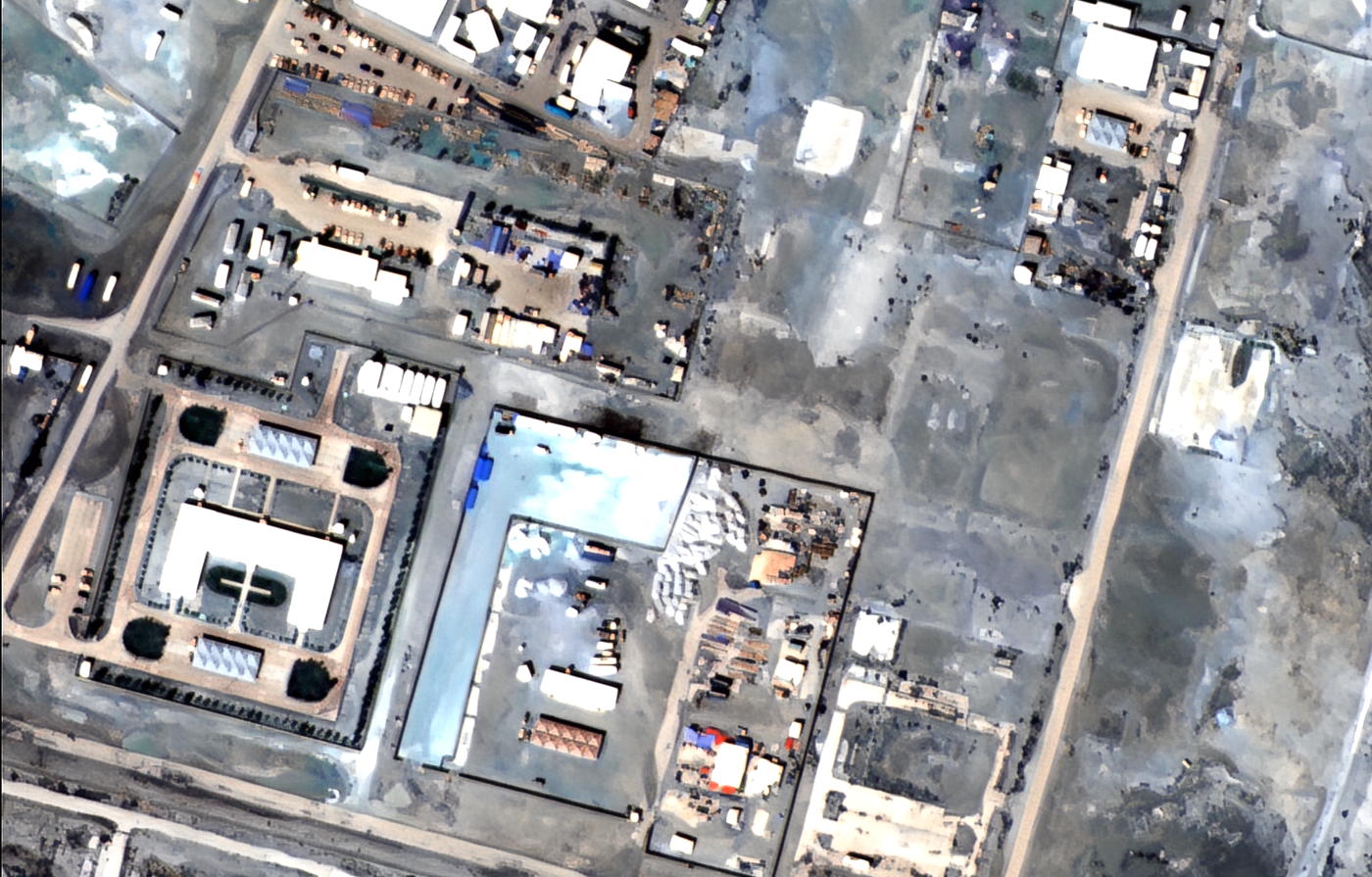
Enhanced PlanetScope
Download GeoTIFF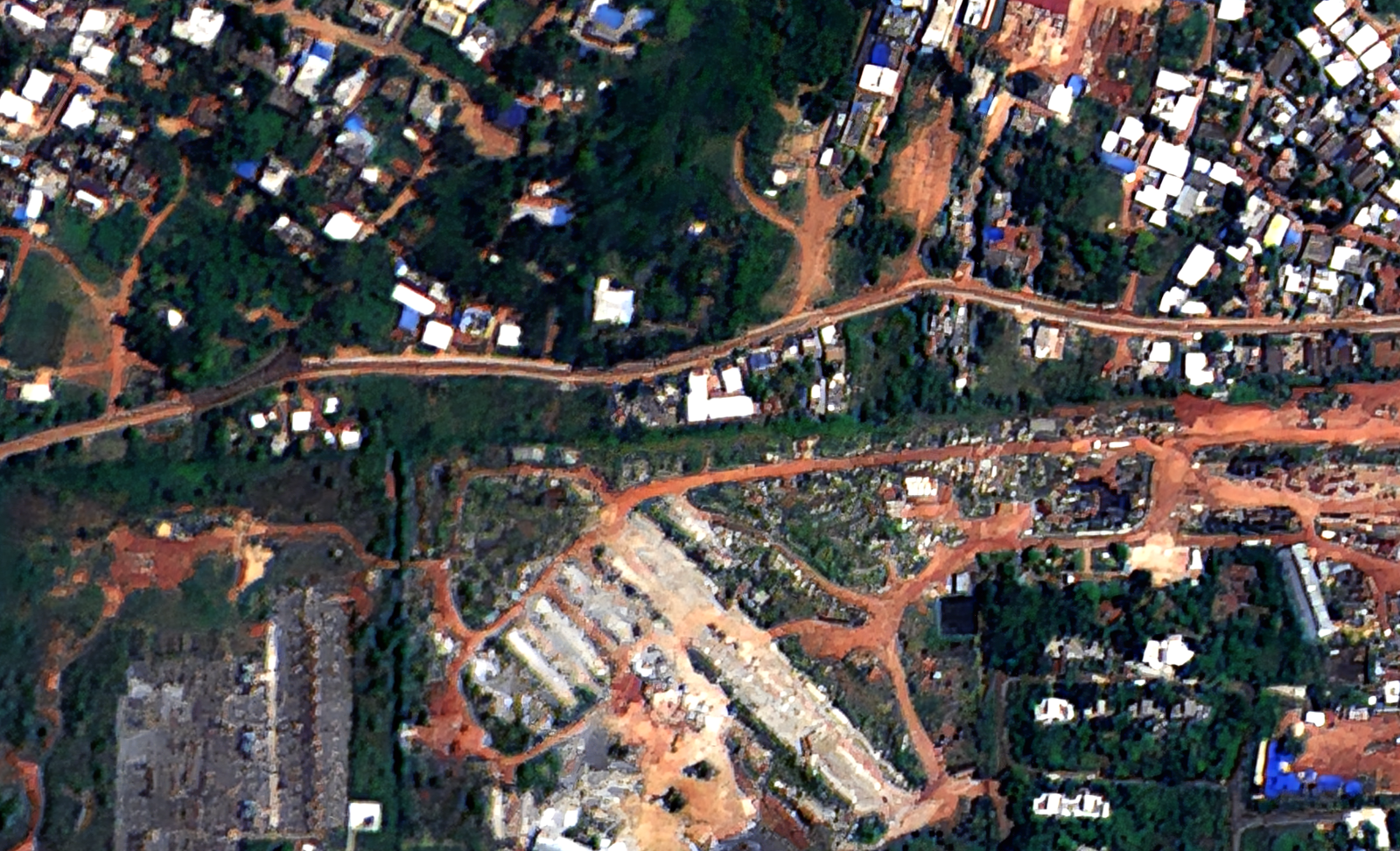
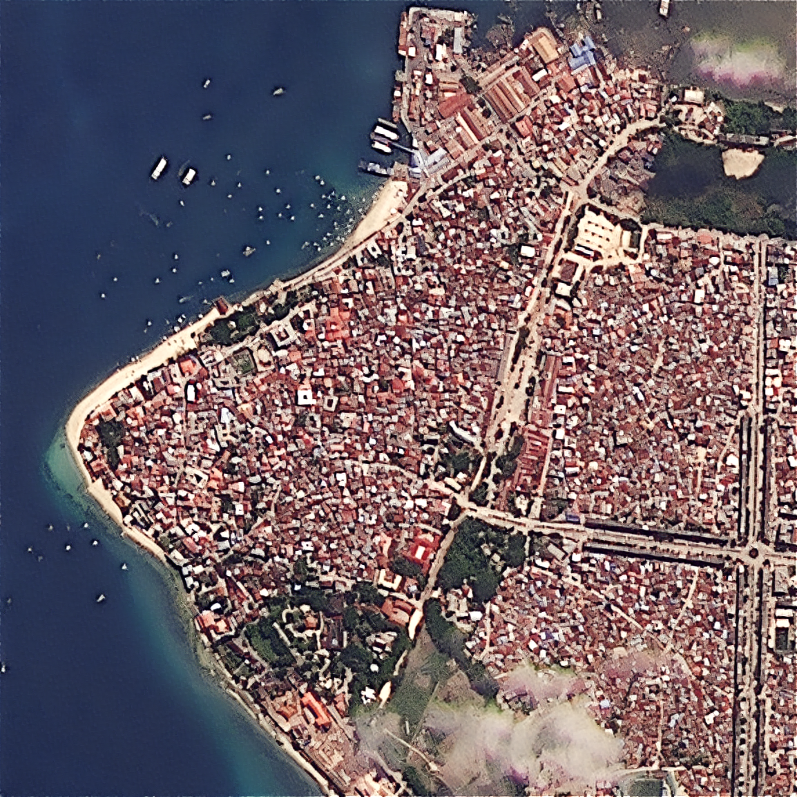
Enhanced Cartosat-2
Download GeoTIFF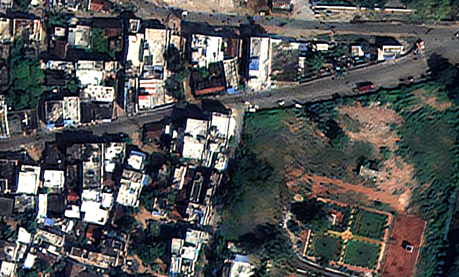
Enhanced Cartosat-3
Download GeoTIFF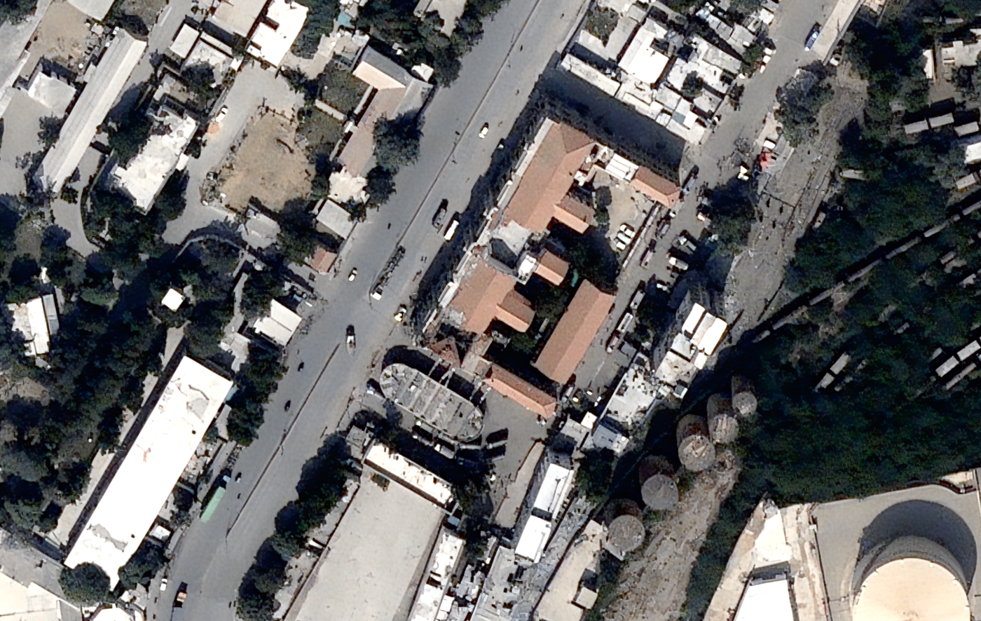
Enhanced BlackSky
Download GeoTIFF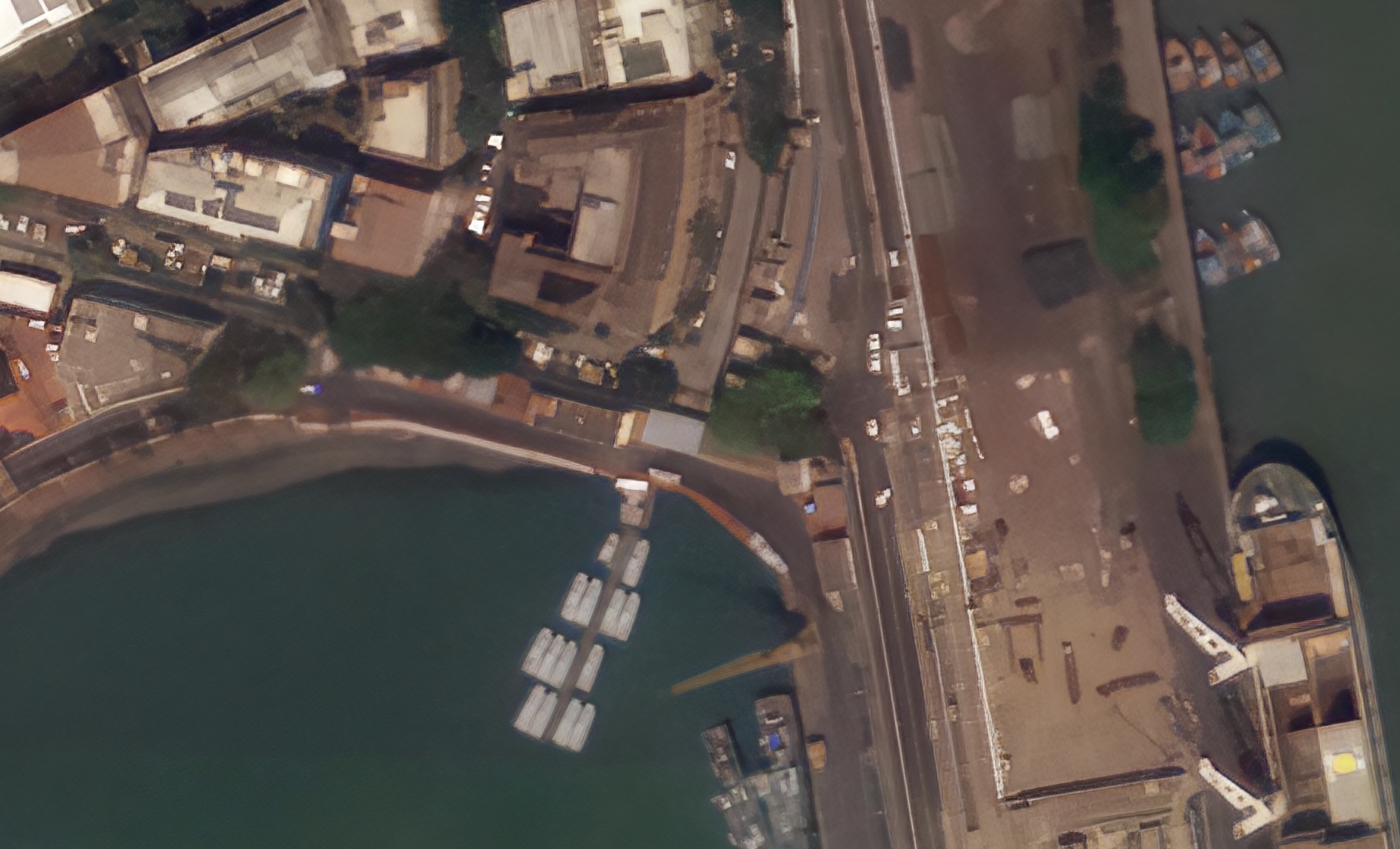
Enhanced Satellogic
Download GeoTIFF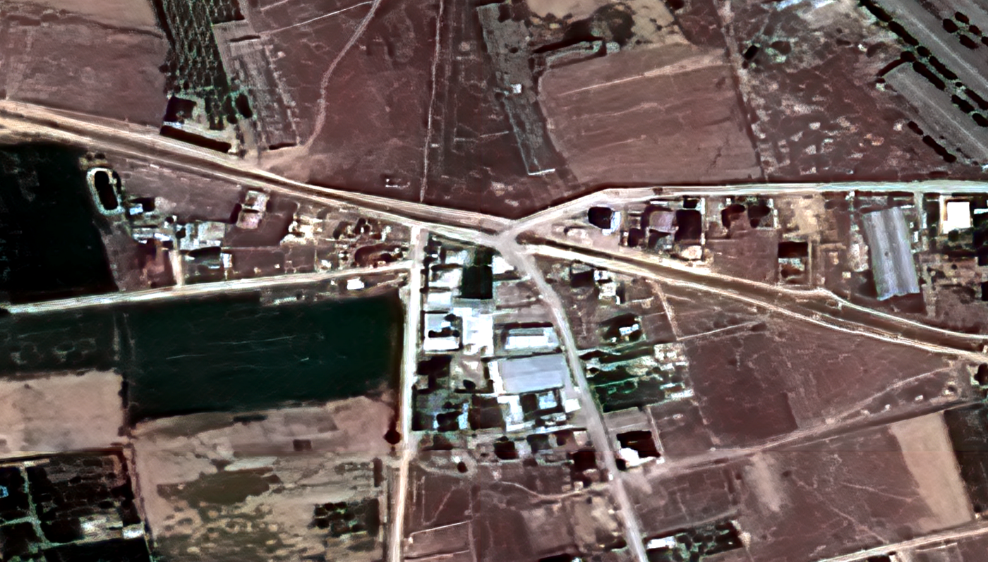
Enhanced SPOT
Download GeoTIFF