Every source, worldwide, kept up to date
One platform unifies optical, radar, spectral, nightlight, elevation and aerial data — each enhanced with physics-based processing and refreshed on its own cadence.
Enhanced Visual
Physics-based 1m true-color, refreshed every 2–5 days, with no super-resolution hallucinations.
More info →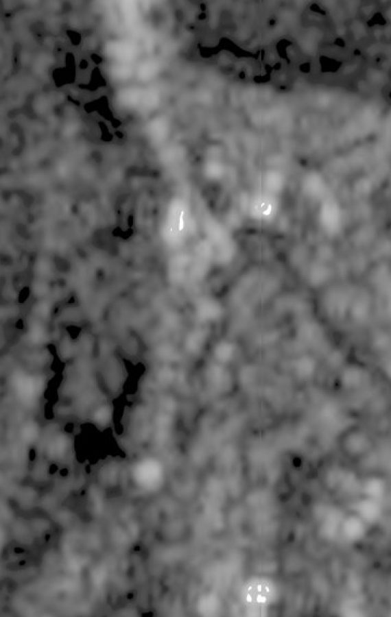
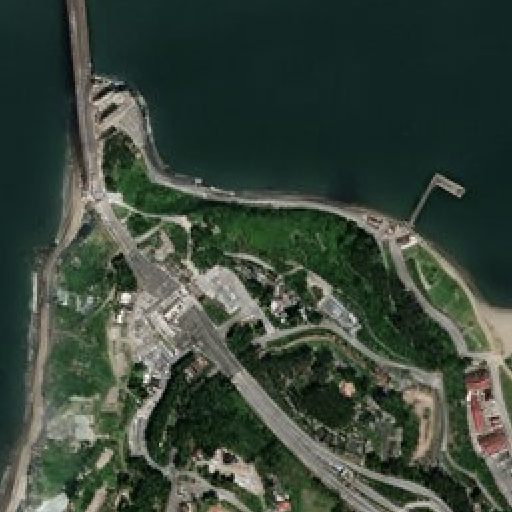
Enhanced SAR
All-weather radar at 2m, provided at 1m, refreshed every 6 days — day, night, and through cloud.
More info →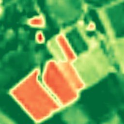
Enhanced Multispectral
Ten calibrated spectral bands at 2–4m — the analytical engine behind NDVI, moisture, burn, and mineral indexes.
More info →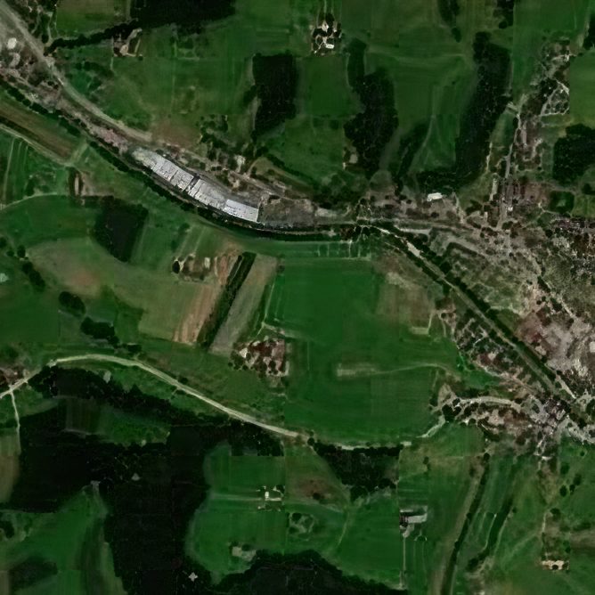
Hourly Basemap
A continuously refreshed, near-cloudless 2.5m basemap of the entire planet.
More info →
Nightlight
Nightly 25m night-lights, super-resolved from NASA Black Marble, for power, outage, and activity tracking.
More info →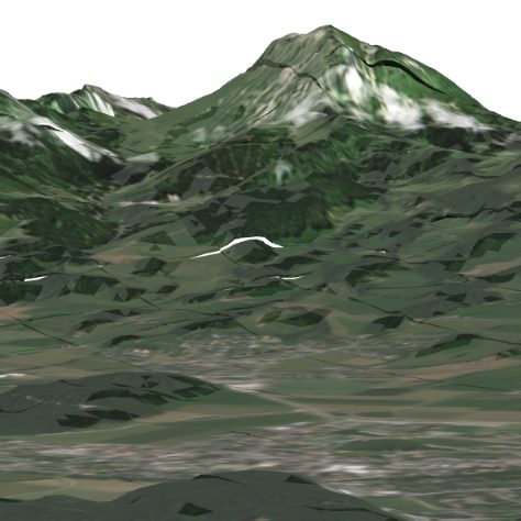
Elevation (BaseDEM)
A global 1m elevation model within a metre of LiDAR — the terrain layer no free or commercial product matches.
More info →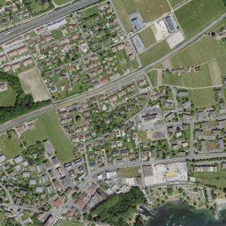
Aerial
Government aerial orthoimagery for 20+ countries, from 20cm to 1cm, some refreshed continuously.
More info →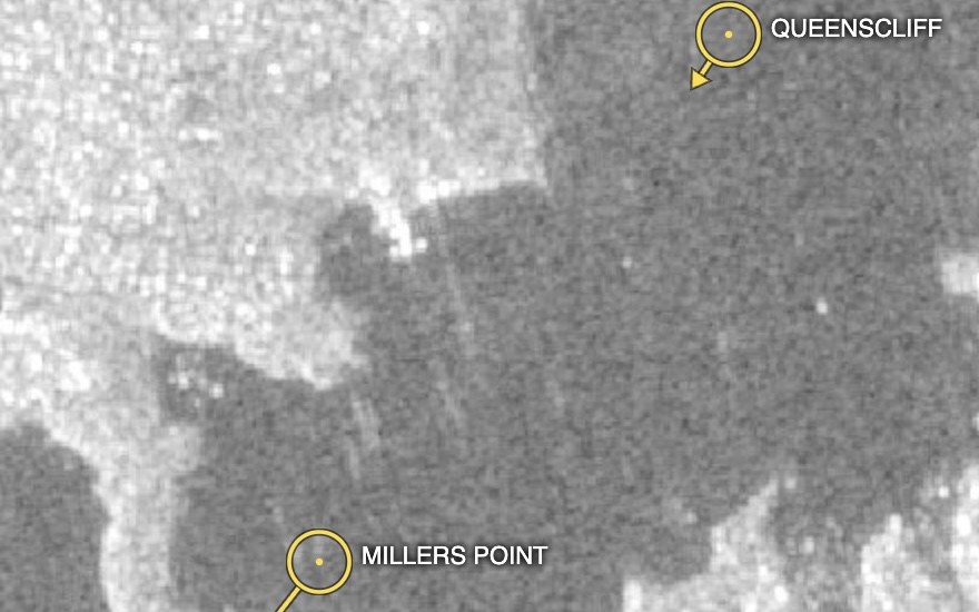
AIS over SAR
Live vessel tracks (AIS) overlaid on cloud-piercing SAR — every ship that reports, and the ones that don't.
More info →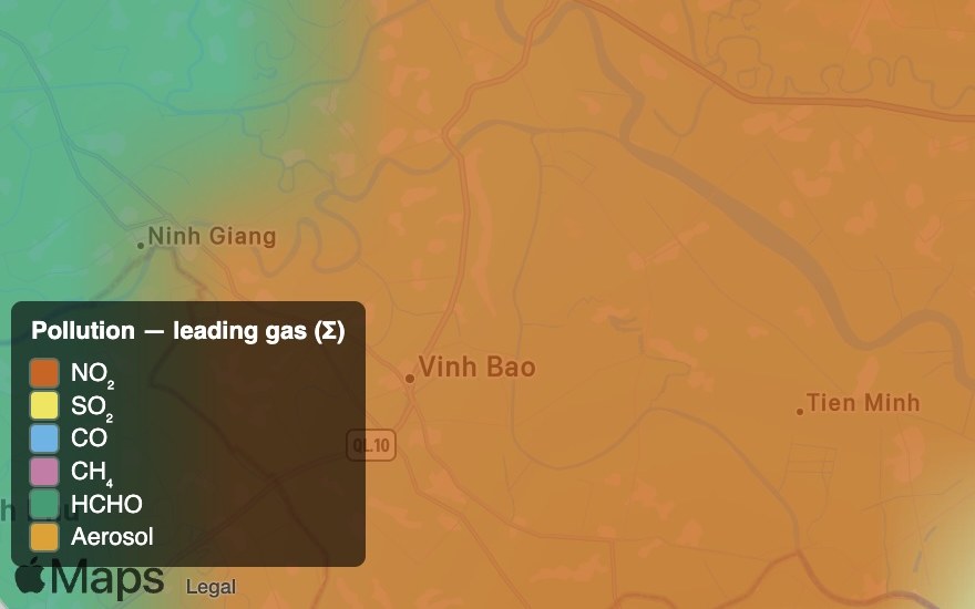
Worldwide Pollution
Global trace-gas monitoring — NO₂, SO₂, CO, CH₄, HCHO and aerosols — as absolute readings and change vs last year.
More info →