Built around how each industry actually works
Every industry has its own remote-sensing needs. Each page brings together the EarthToDate data sources and analytics that serve it — and why they beat what's available elsewhere.
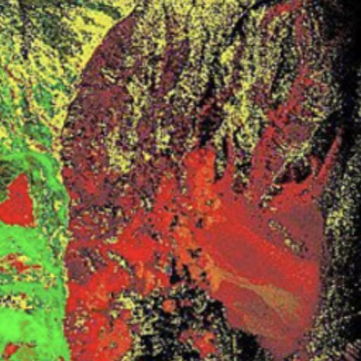
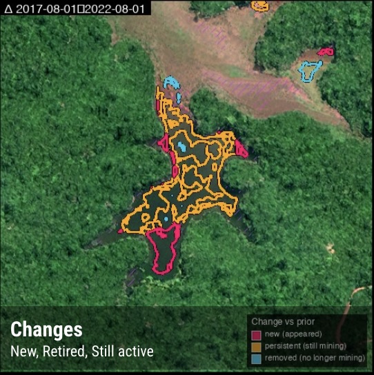
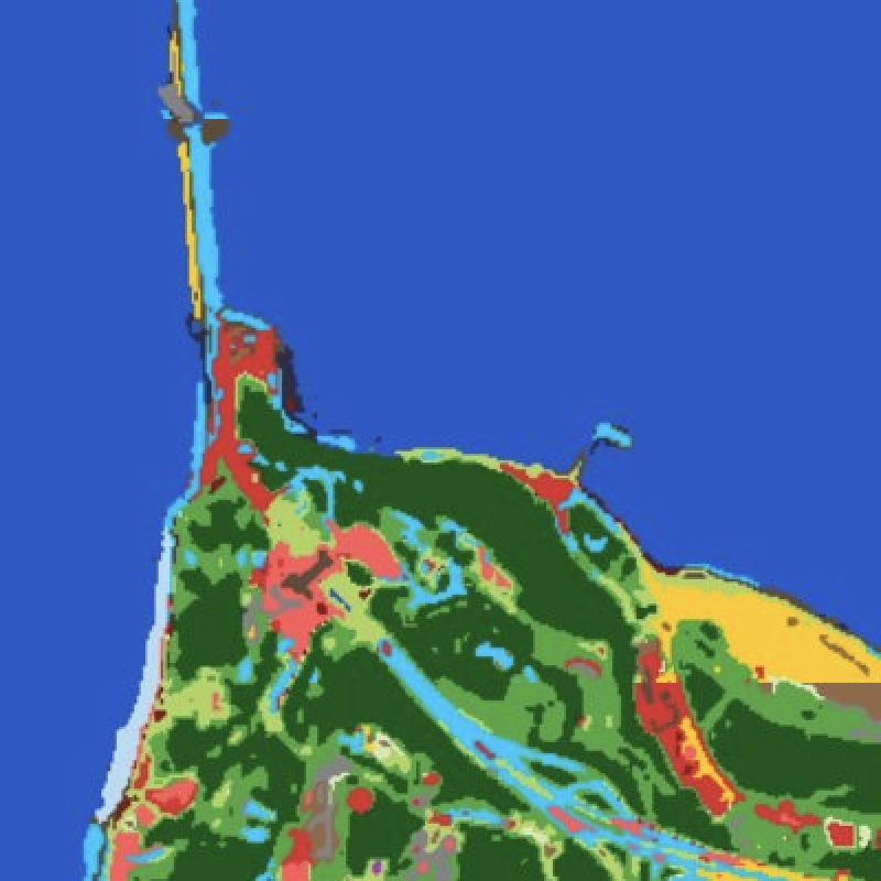
Mining & Exploration
From greenfield targeting to operational and regulatory monitoring — alteration mapping, site detection, terrain, and frequent imagery in one stack.
More info →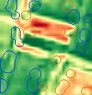
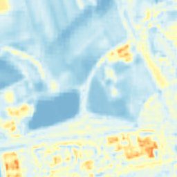
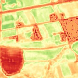
Agriculture
Catch field problems weeks early and read moisture, salinity, and biomass at 2m — the full agronomic signal on a 2–5 day cycle.
More info →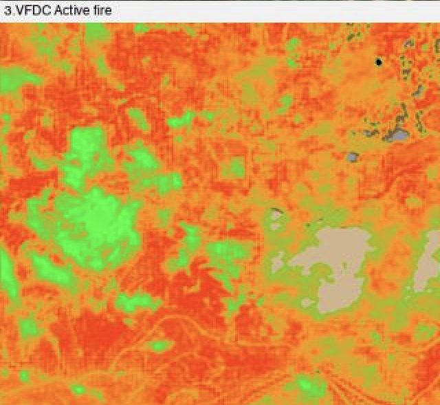
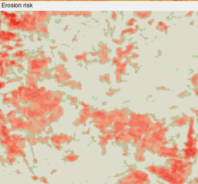
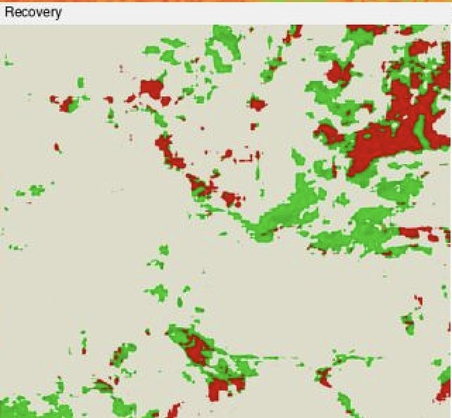
Fire & Civil Protection
The full fire lifecycle — fuel danger, active-fire see-through, burn severity, recovery, and erosion cascade — from one coherent 2m stack.
More info →
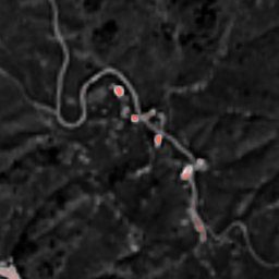
Water & Utilities
Find leaks across a whole network and watch every kilometre of pipeline corridor — systematic, national-scale, no tasking.
More info →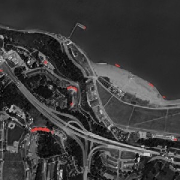
Infrastructure & Construction
Detect unpermitted building and monitor corridors and earthworks at national scale — change detection plus survey-grade terrain.
More info →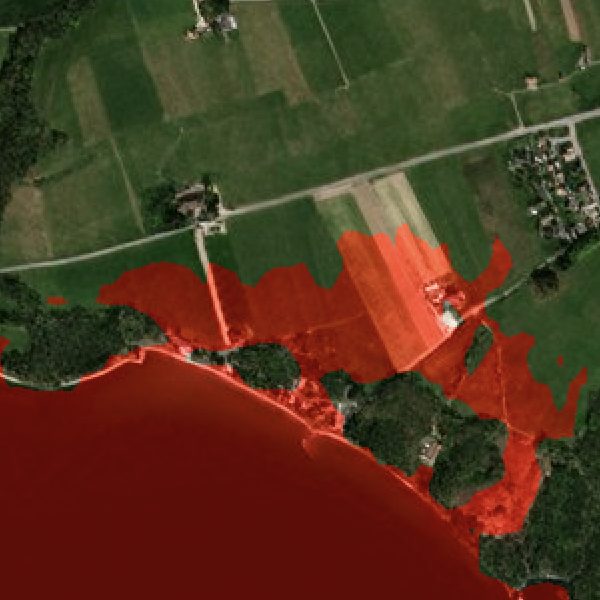
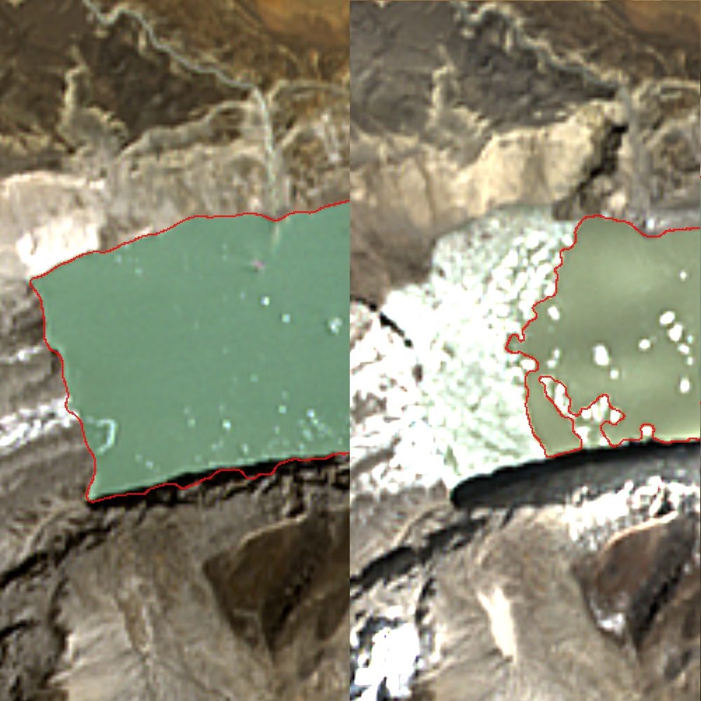
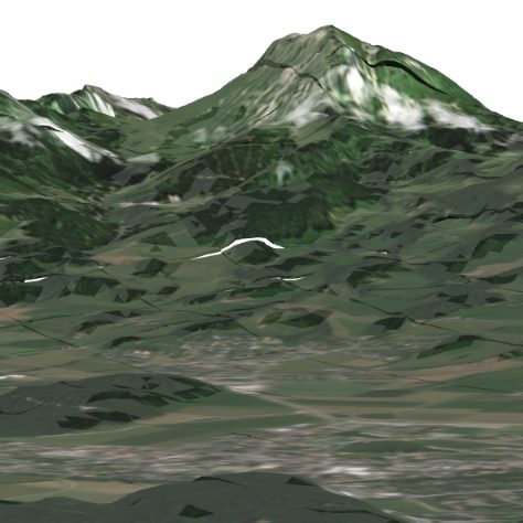
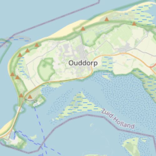
Disaster & Flood
Model exactly where water goes — coastal, riverine, glacial-lake outburst — over terrain accurate to half a metre.
More info →