Infrastructure & Construction
Authorities and asset owners need to know what is being built, where, and whether it is allowed — across territories too large to inspect on the ground. Construction is small, dispersed, and constant, and the terrain context for earthworks and grading has historically required expensive surveys.
EarthToDate detects new construction directly from dated imagery, classifies land cover and built-up extent without training data, watches linear corridors for encroachment, and supplies a 1m BaseDEM accurate enough for cut-fill, grading, and drainage design — replacing episodic LiDAR for most planning work.
Together these give planning offices, registries, and infrastructure operators a continuous, jurisdiction-wide view of physical change, without flying or driving the whole area.
Solutions for this industry
Illegal Construction
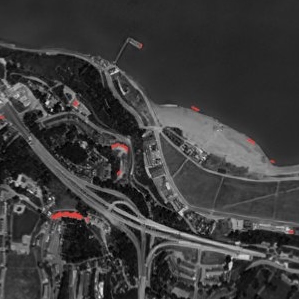
Pixels that are built now but weren't months ago — automated detection of unpermitted construction at national scale.
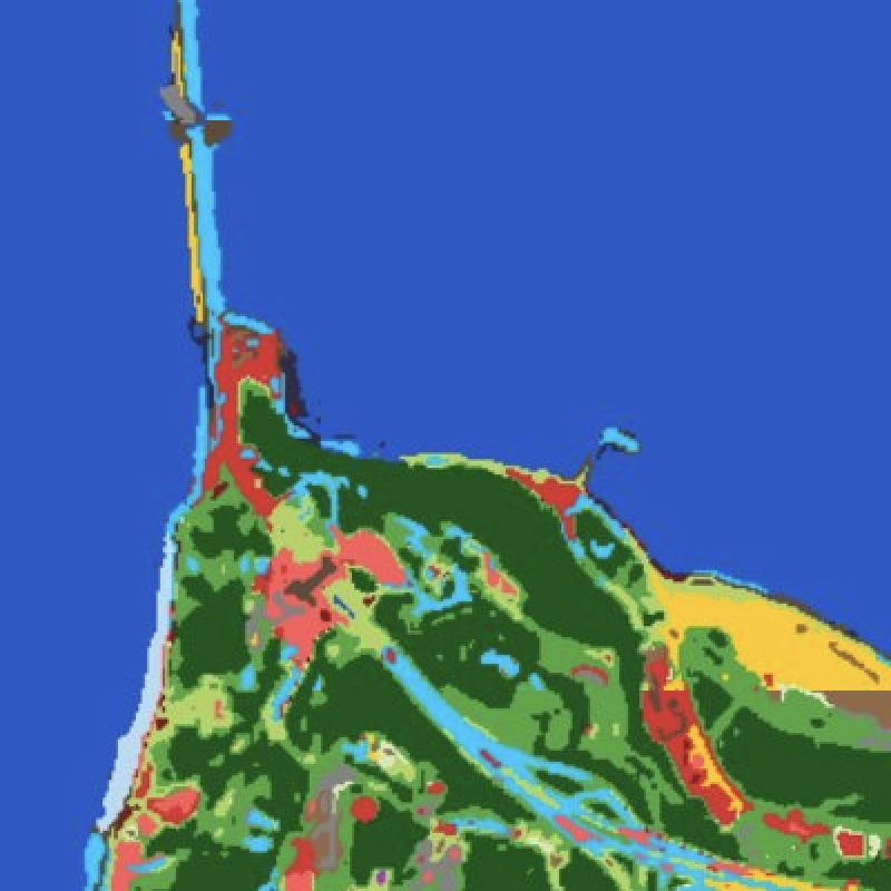
More info →Land Cover Classification
Physics-based land-cover and built-up mapping with no training data and no proprietary labels — built-up, roads, cropland, water and more from one representation.
More info →Corridor Watching
Continuous watch over pipelines, transmission lines, railways, and borders for encroachment and change.
More info →Data sources behind them
Enhanced Visual
Physics-based 1m true-color, refreshed every 2–5 days, with no super-resolution hallucinations.
More info →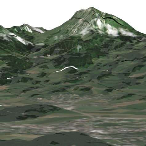
Elevation (BaseDEM)
A global 1m elevation model within a metre of LiDAR — the terrain layer no free or commercial product matches.
More info →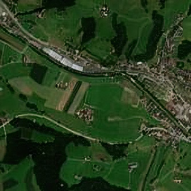
Hourly Basemap
A continuously refreshed, near-cloudless 2.5m basemap of the entire planet.
More info →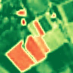
Enhanced Multispectral
Ten calibrated spectral bands at 2–4m — the analytical engine behind NDVI, moisture, burn, and mineral indexes.
More info →Frequently asked questions
How does EarthToDate serve Infrastructure?
Authorities and asset owners need to know what is being built, where, and whether it is allowed — across territories too large to inspect on the ground. Construction is small, dispersed, and constant, and the terrain context for earthworks and grading has historically required expensive surveys.
Which EarthToDate products apply to Infrastructure & Construction?
Solutions: Illegal Construction, Land Cover Classification, Corridor Watching. Data sources: Enhanced Visual, Elevation (BaseDEM), Hourly Basemap, Enhanced Multispectral.
Why EarthToDate over the alternatives?
Together these give planning offices, registries, and infrastructure operators a continuous, jurisdiction-wide view of physical change, without flying or driving the whole area.