Corridor Watching
Annual monitoring of linear assets
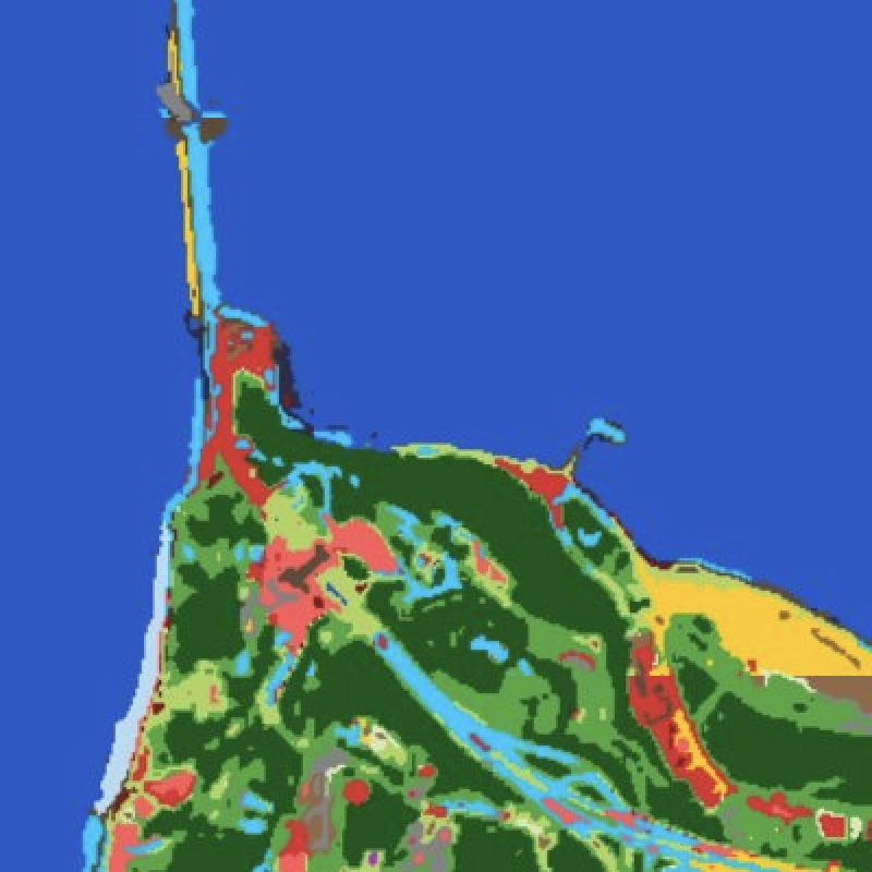
Linear infrastructure — pipelines, power-transmission corridors, railways, canals, and borders — stretches for thousands of kilometres through terrain no inspection crew can walk often enough. The risks accumulate quietly: vegetation encroachment, third-party digging, illegal tapping, erosion undercutting a right-of-way, unauthorised construction inside the easement.
Corridor Watching turns EarthToDate's frequent worldwide imagery into continuous surveillance of the strip you care about. Enhanced 1m visual and 2m multispectral are differenced along the corridor centreline, flagging where the scene has changed against its own recent baseline — the same divergence logic behind our field-anomaly and leak products, applied to a linear buffer.
Because coverage is systematic rather than tasked, an entire national network can be monitored on one schedule and priced per kilometre — from a single right-of-way to 10,000km — instead of paying VHR tasking fees for each pass.
It pairs naturally with leak detection on water and oil lines, with firebreak-condition monitoring along transmission corridors, and with BaseDEM for grade and erosion analysis of the route itself.
Frequently asked questions
What is Corridor Watching?
Linear infrastructure — pipelines, power-transmission corridors, railways, canals, and borders — stretches for thousands of kilometres through terrain no inspection crew can walk often enough. The risks accumulate quietly: vegetation encroachment, third-party digging, illegal tapping, erosion undercutting a right-of-way, unauthorised construction inside the easement.
What data and resolution does Corridor Watching use?
Continuous watch over pipelines, transmission lines, railways, and borders for encroachment and change. (Annual monitoring of linear assets)
How does Corridor Watching compare to the alternatives?
Because coverage is systematic rather than tasked, an entire national network can be monitored on one schedule and priced per kilometre — from a single right-of-way to 10,000km — instead of paying VHR tasking fees for each pass.
Where and how often is it available?
Corridor Watching turns EarthToDate's frequent worldwide imagery into continuous surveillance of the strip you care about. Enhanced 1m visual and 2m multispectral are differenced along the corridor centreline, flagging where the scene has changed against its own recent baseline — the same divergence logic behind our field-anomaly and leak products, applied to a linear buffer.