Mining & Exploration
Mining spans a long lifecycle — exploration, development, operation, compliance, and closure — and each stage is a remote-sensing problem. Explorers need to find alteration before drilling; operators and ministries need frequent, site-level visibility into what is actually happening on the ground; regulators need to track environmental impact and verify reported production.
Historically this meant stitching together expensive tasked hyperspectral for minerals, occasional commercial DEMs for volumetrics, and manual photo-interpretation for change — none of it frequent, global, or affordable at country scale.
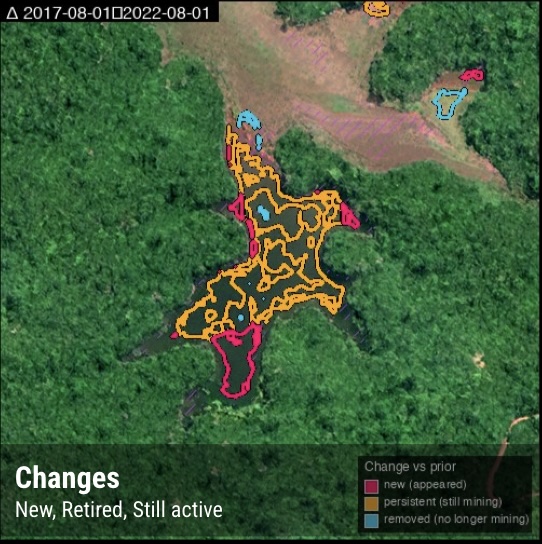
EarthToDate brings the whole lifecycle onto one continuously-updated data layer. Surface Mineral Map targets exploration; Mining Monitoring delivers typed, validated detection of every site; BaseDEM supports both drill-pad terrain and operational volumetrics; and enhanced visual and spectral imagery provides the frequent base picture that ties it together.
Solutions for this industry
Data sources behind them
Enhanced Multispectral
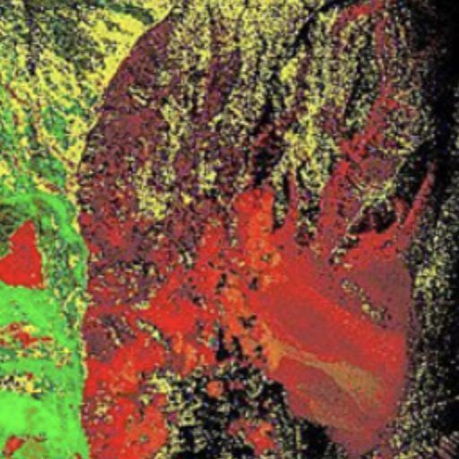
Ten calibrated spectral bands at 2–4m — the analytical engine behind NDVI, moisture, burn, and mineral indexes.
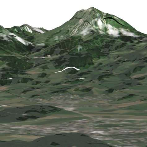
More info →Elevation (BaseDEM)
A global 1m elevation model within a metre of LiDAR — the terrain layer no free or commercial product matches.
More info →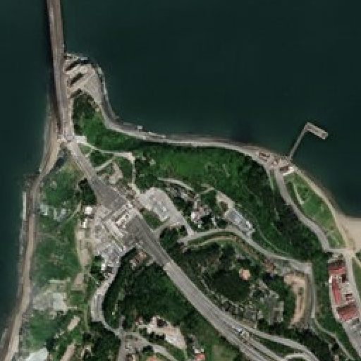
Enhanced Visual
Physics-based 1m true-color, refreshed every 2–5 days, with no super-resolution hallucinations.
More info →Frequently asked questions
How does EarthToDate serve Mining?
Mining spans a long lifecycle — exploration, development, operation, compliance, and closure — and each stage is a remote-sensing problem. Explorers need to find alteration before drilling; operators and ministries need frequent, site-level visibility into what is actually happening on the ground; regulators need to track environmental impact and verify reported production.
Which EarthToDate products apply to Mining & Exploration?
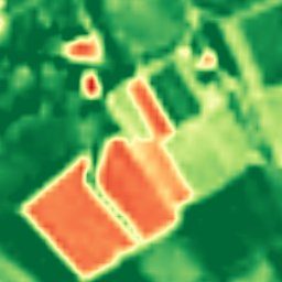
Solutions: Surface Mineral Map, Mining Monitoring. Data sources: Enhanced Multispectral, Elevation (BaseDEM), Enhanced Visual.
Why EarthToDate over the alternatives?
EarthToDate brings the whole lifecycle onto one continuously-updated data layer. Surface Mineral Map targets exploration; Mining Monitoring delivers typed, validated detection of every site; BaseDEM supports both drill-pad terrain and operational volumetrics; and enhanced visual and spectral imagery provides the frequent base picture that ties it together.