AIS over SAR
Vessel identities fused with all-weather radar
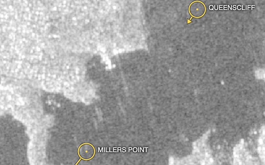
Maritime monitoring needs two answers at once: who is where, and what is actually on the water. AIS transponders broadcast a vessel's name, position and heading — but only for ships that carry and enable them. SAR sees every vessel's radar return regardless of weather, darkness or cloud, but cannot read their names.
EarthToDate fuses the two: live AIS tracks (name, MMSI, course) rendered directly over enhanced Sentinel-1 SAR. Cooperative vessels line up with their radar signature; the revealing cases are the mismatches — a strong SAR return with no AIS nearby is a candidate "dark ship" (illegal fishing, sanctions evasion, smuggling), while an AIS report with no radar return can flag spoofing.
Because the SAR is all-weather and refreshes on the Sentinel-1 cadence across coasts, seas and the main shipping routes, the layer supports port and territorial-water surveillance, fisheries enforcement, and maritime domain awareness — without tasking, at national or basin scale.
Frequently asked questions
What is AIS over SAR?
Maritime monitoring needs two answers at once: who is where, and what is actually on the water. AIS transponders broadcast a vessel's name, position and heading — but only for ships that carry and enable them. SAR sees every vessel's radar return regardless of weather, darkness or cloud, but cannot read their names.
What data and resolution does AIS over SAR use?
Live vessel tracks (AIS) overlaid on cloud-piercing SAR — every ship that reports, and the ones that don't. (Vessel identities fused with all-weather radar)
How does AIS over SAR compare to the alternatives?
Because the SAR is all-weather and refreshes on the Sentinel-1 cadence across coasts, seas and the main shipping routes, the layer supports port and territorial-water surveillance, fisheries enforcement, and maritime domain awareness — without tasking, at national or basin scale.