Fire & Civil Protection
Pre-season fuel danger and firebreak readiness
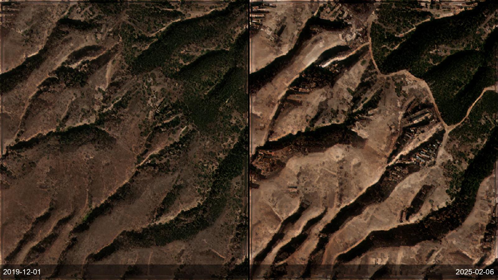
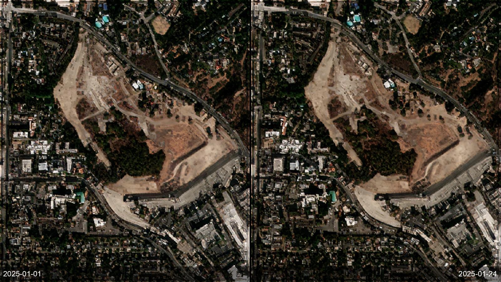
Fire agencies and electric utilities need to know, before the season, where fuel is dry and continuous and whether firebreaks and line-clearance corridors are actually clear — at a scale coarse daily sensors (MODIS 500 m, VIIRS 375 m) simply cannot resolve, while VHR tasking is too infrequent and costly to run over a landscape. ETD's 2 m multispectral twice weekly fuses NDVI/NDMI/MSI into a Vegetation Fuel Danger Composite and resolves a 10 m firebreak as five pixels — turning fuel and firebreak condition into a routine, landscape-wide, scene-calibrated layer that needs no local ground truth.
Before / after examples