Media, Real-estate & Platform / API
Basemap, imagery API and imagery-recency for platforms
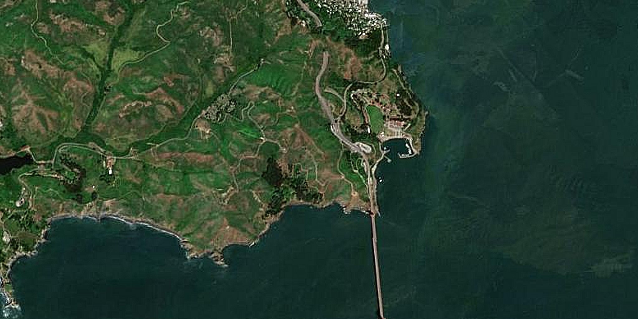
App builders and GIS teams need a consistent, current global canvas and programmatic imagery — and often need to know how old a given basemap actually is. ETD serves a seamless worldwide basemap (10 m / 5 m / 2.5 m) and full imagery/analytics via API, plus an ESRI World Imagery age (recency) map so you know when your base imagery was captured.