Disaster & Flood
Rapid post-disaster damage assessment
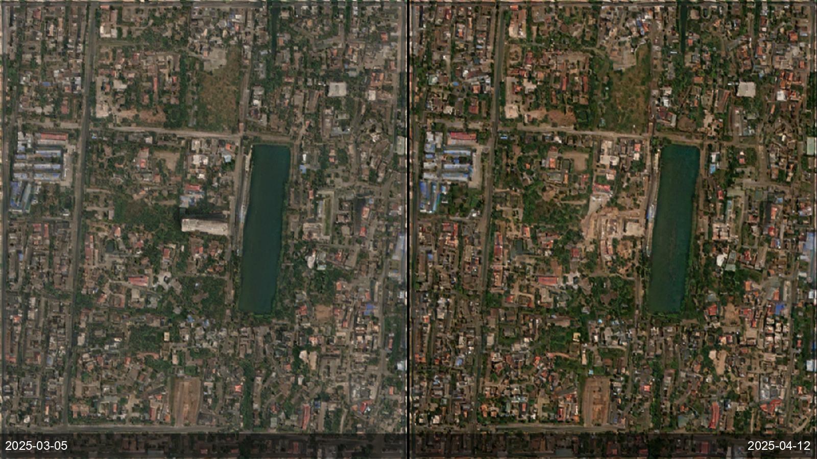
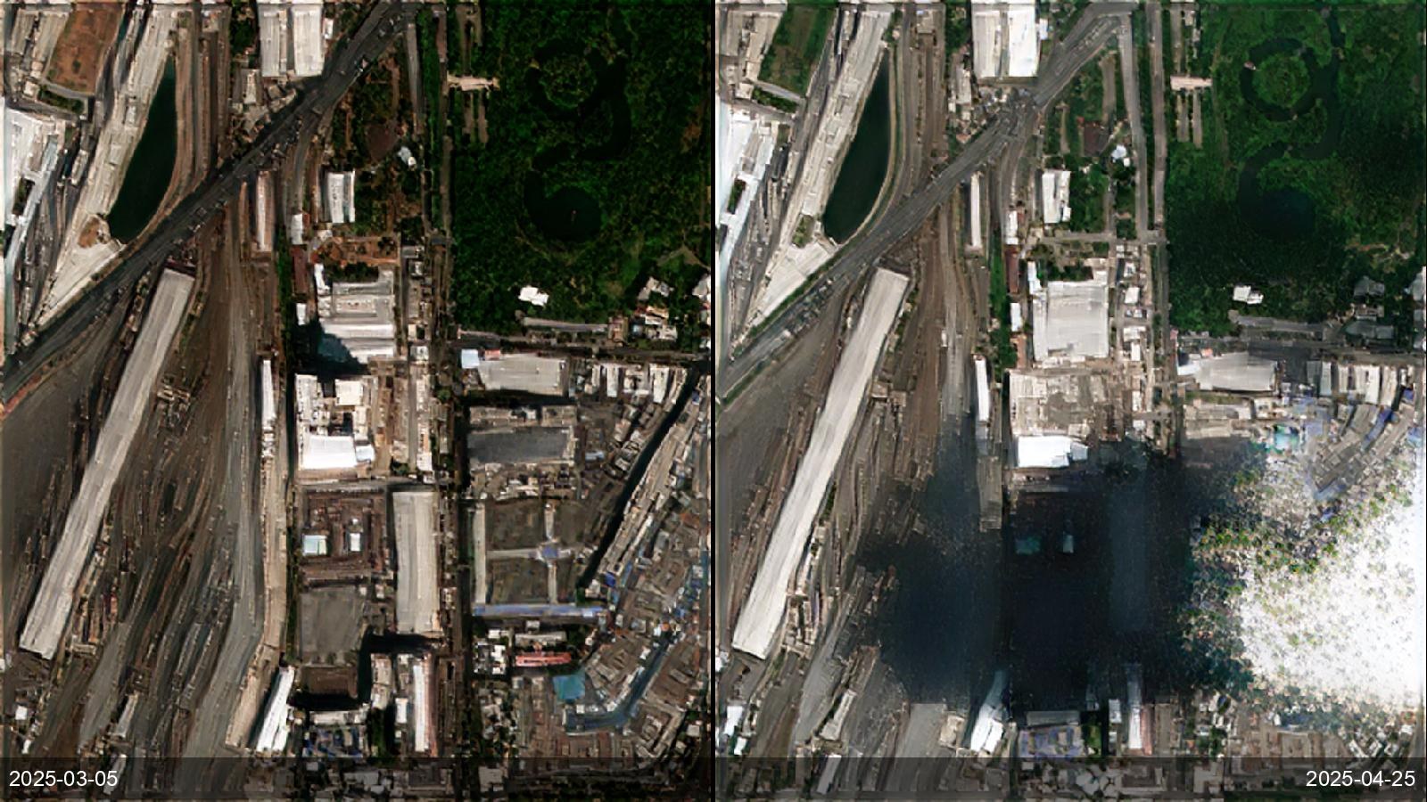
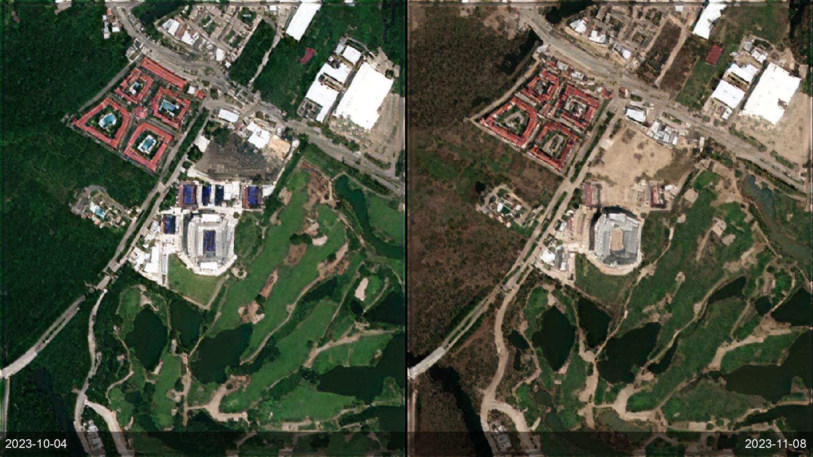
After an earthquake, storm or conflict event, responders and insurers need a fast, wide-area read of what was destroyed — before crews can reach the ground. ETD's 1 m visual (and all-weather SAR when skies are closed) captures collapse, debris fields and burn scars within the first clear pass, worldwide, against an archive that shows the pre-event state.
Before / after examples