Agriculture
Frost, hail and drought damage assessment for crop insurance
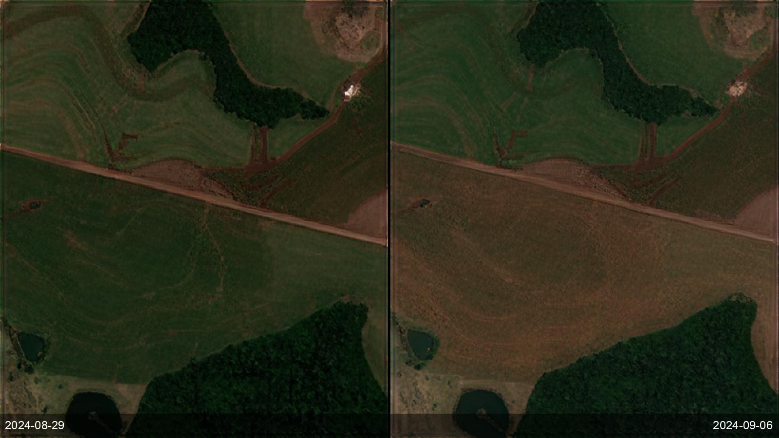
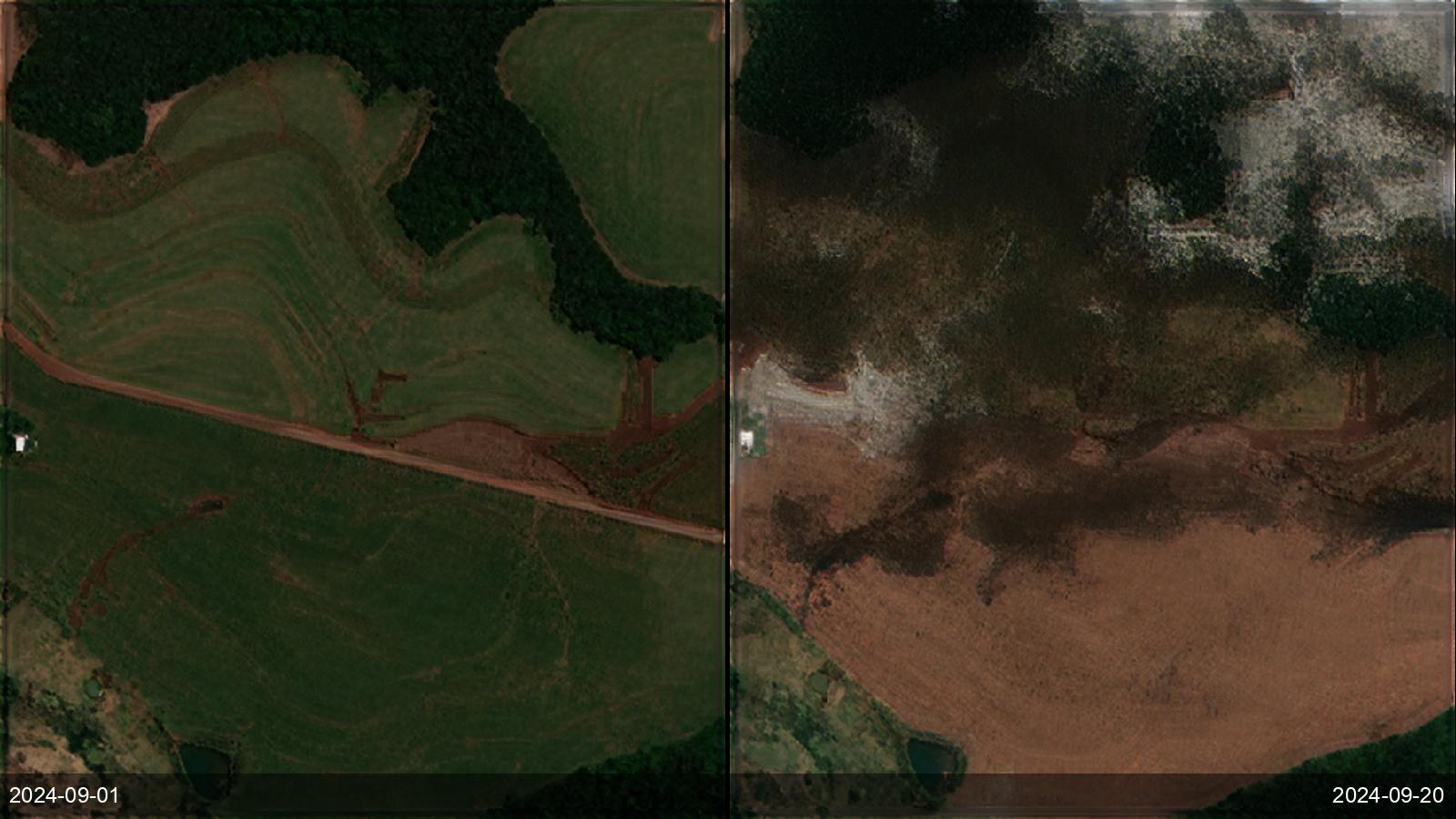
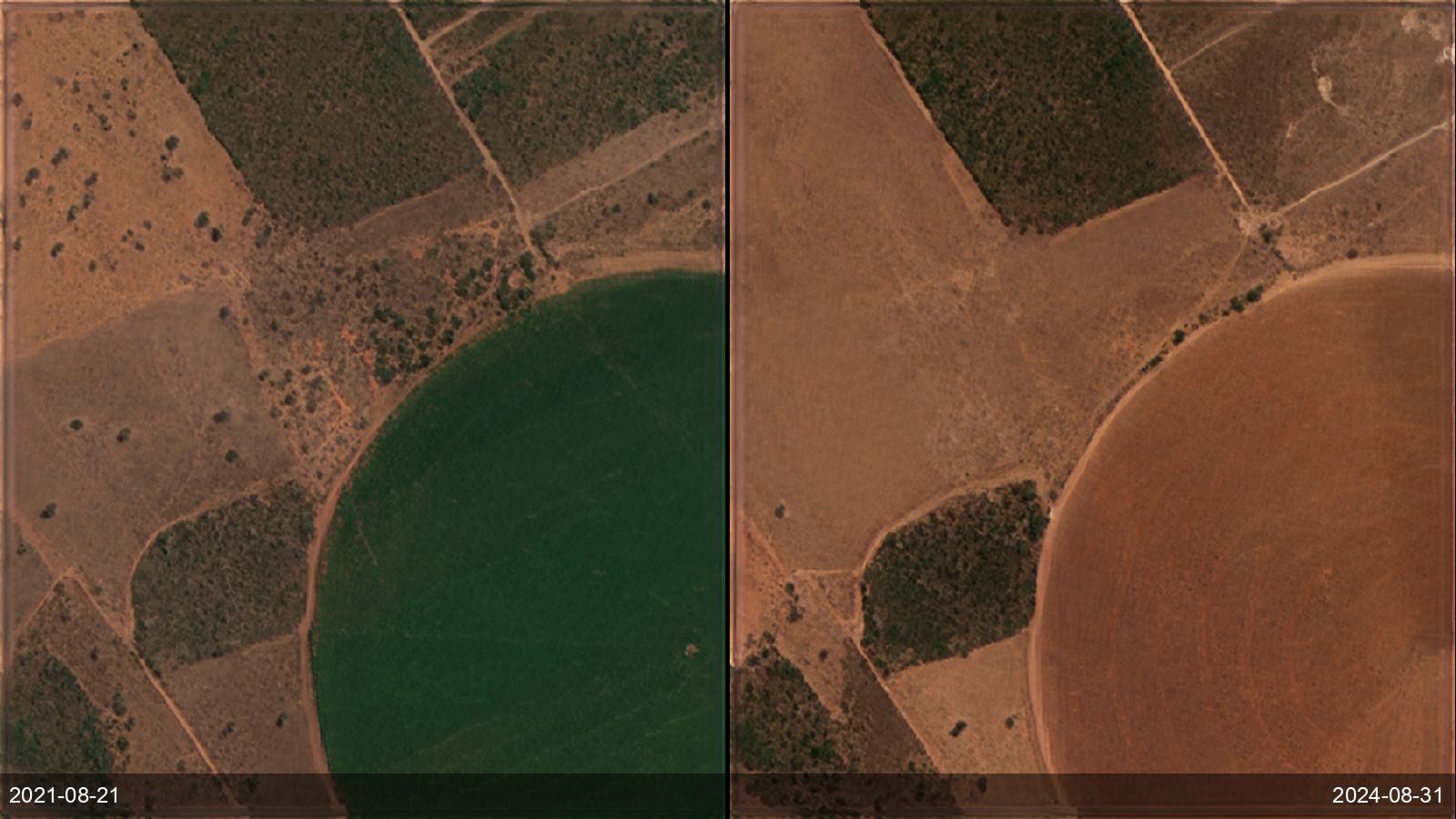
Crop insurers and agri-lenders must verify loss claims after a frost, hailstorm or drought — fast, objectively, and across a whole region — without sending an adjuster to every field. Ground inspection is slow and contestable, and coarse imagery can't isolate which parcels were actually hit. ETD's 1 m visual and 2 m multispectral archive back to 2015 lets an assessor compare the exact fields before and after a dated event and quantify the damage footprint, turning a disputed claim into a timestamped, independent evidence record — as demonstrated across a multi-year run of frost, hail and drought events in Paraná, Brazil.
Before / after examples