Disaster & Flood
Flood-risk planning: what floods at a given water level
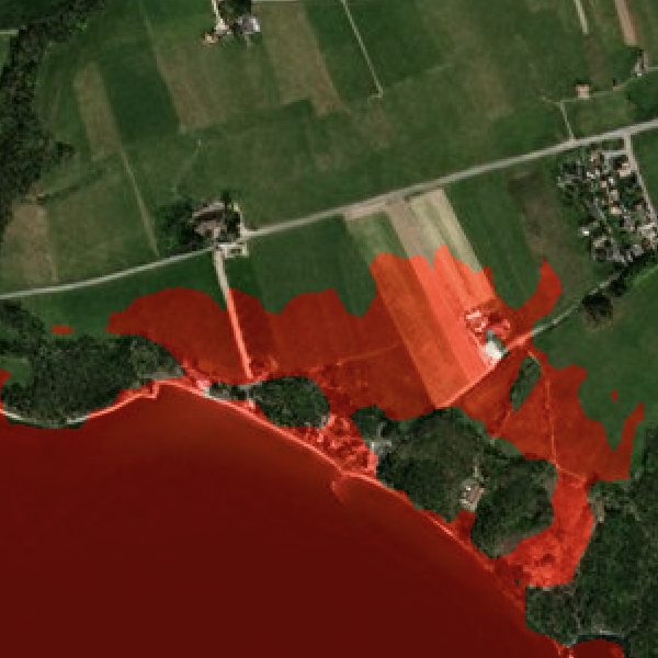
Planners and civil-protection agencies need a concrete answer — if water reaches this height, exactly which streets, homes and assets go under — and that answer lives or dies on terrain accuracy. Public 30 m DEMs blur out the kerbs, embankments and drains that decide where water actually goes, producing risk maps too coarse to act on. ETD runs inundation over BaseDEM at 0.5–1 m vertical accuracy, rendered on Refined Reality 1 m imagery, so you can set any water level and see a real terrain footprint — for coastal storm-surge, sea-level-rise and urban-flood planning, anywhere on Earth.