Exploration targeting from surface mineral alteration
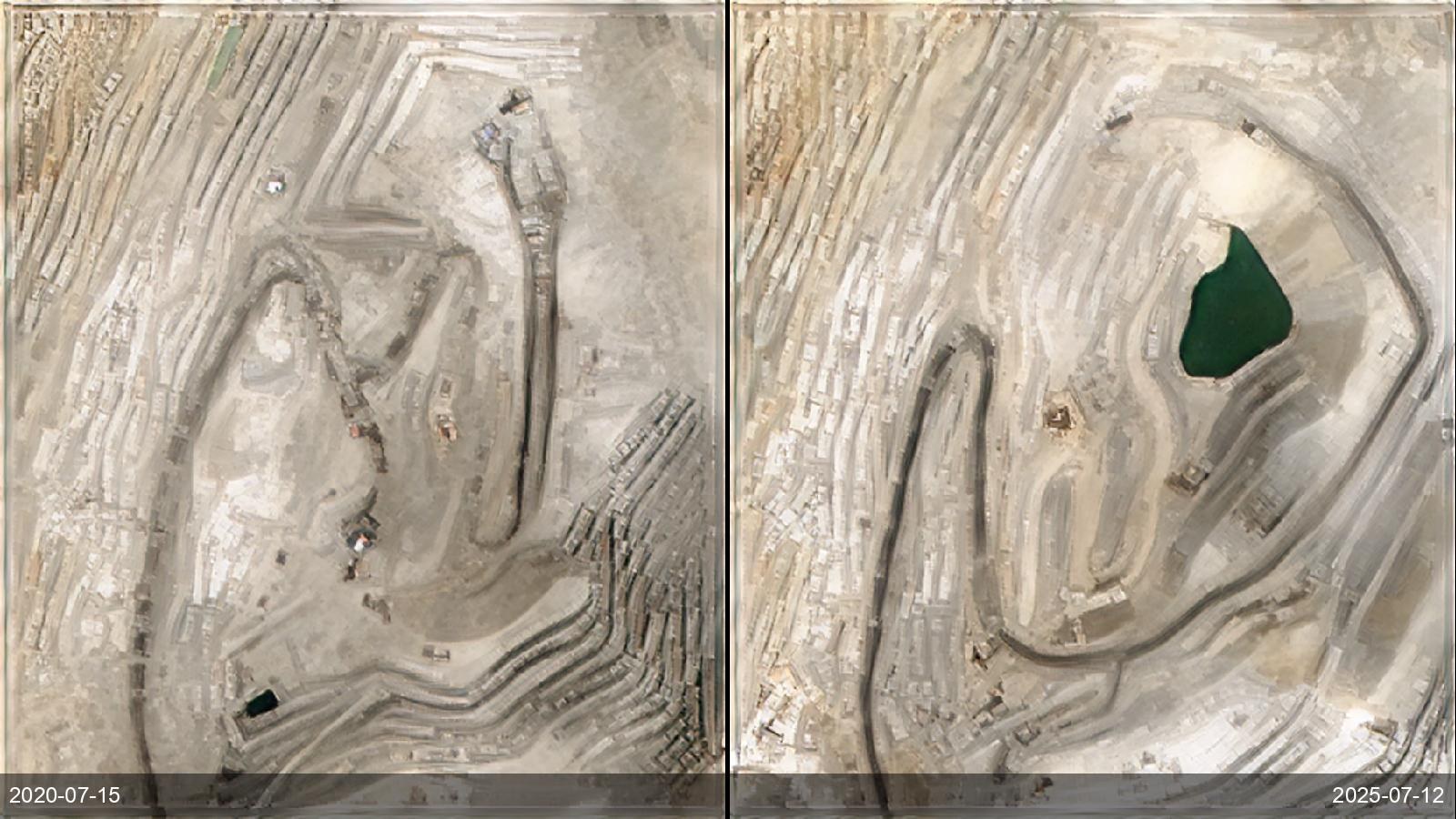
An exploration geologist needs to rank drill targets before committing to expensive fieldwork, which means mapping hydrothermal alteration over a licence block. Until recently the main sub-5 m path was tasking WorldView-3 — costly per scene, slow, and now discontinued (WV-3 reached end of life in December 2025), leaving ASTER's coarse 15–30 m as the free alternative. EarthToDate reconstructs Sentinel-2 to 2–4 m across ten calibrated bands — including the SWIR channels alteration mapping depends on — and delivers four alteration indices, an adaptive composite intensity score and a six-class alteration map, worldwide, straight from a deep archive with no tasking. At 2–4 m, fault-hosted alteration corridors, concentric zoning and small outcrops become classifiable rather than sub-pixel noise, so the geologist gets an objective, repeatable ranking of which targets to drill first — for a fraction of a tasked-hyperspectral campaign, and under more accommodating licensing than tasked commercial scenes.