Disaster & Flood
Dam-breach and downstream-inundation modelling
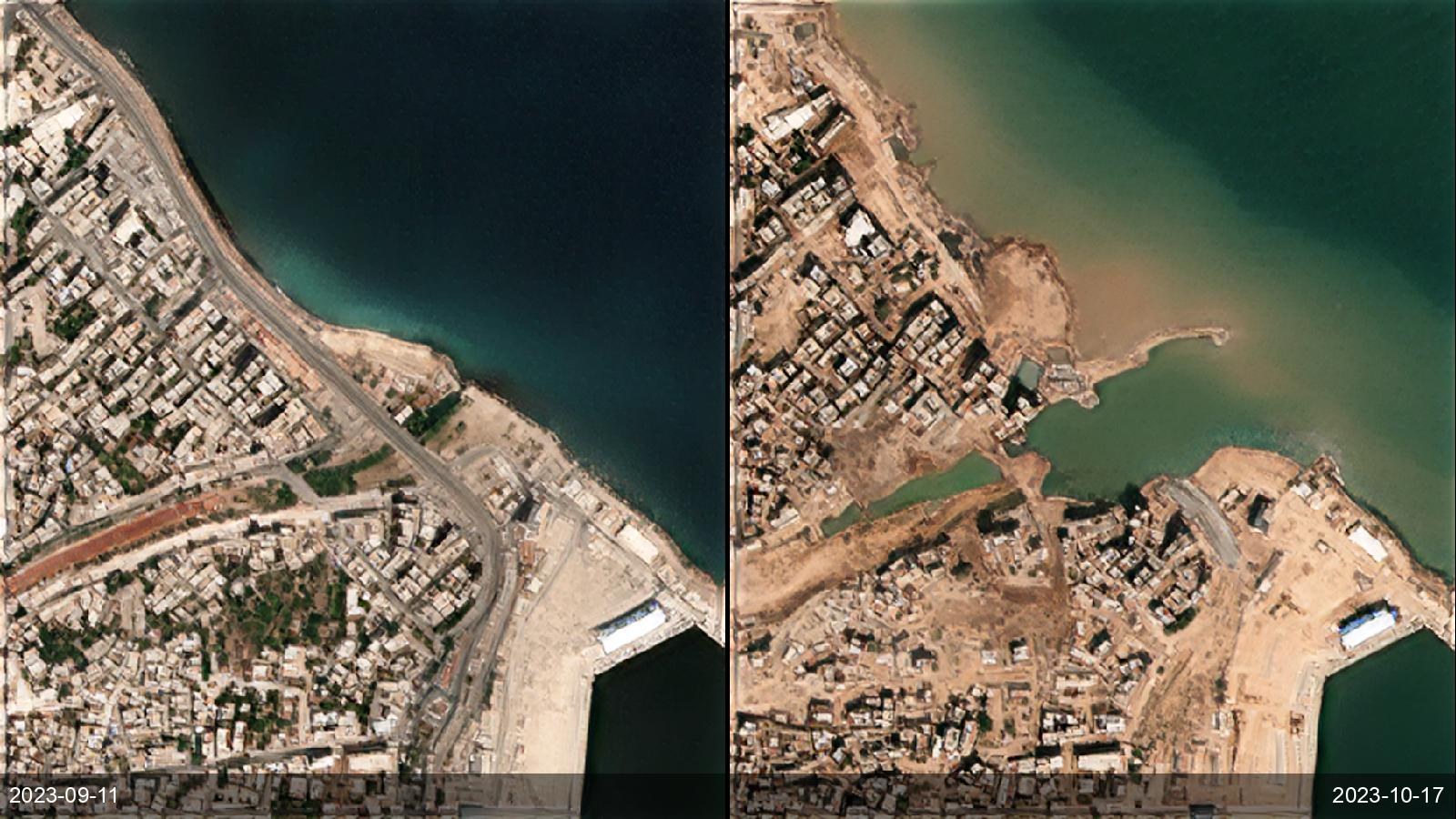
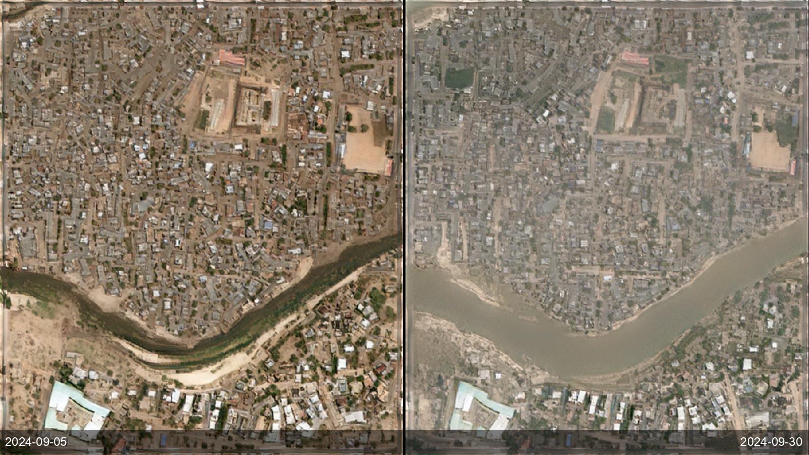
Dam operators and downstream communities need to know the reach of a breach — which villages, roads and bridges are in the path — before it happens, and to document it after. ETD's terrain engine models downstream flow over 1 m BaseDEM, and its imagery archive captures real breach events for validation and after-action assessment.
Before / after examples