Soil Moisture & Salinity
2m composite indexes
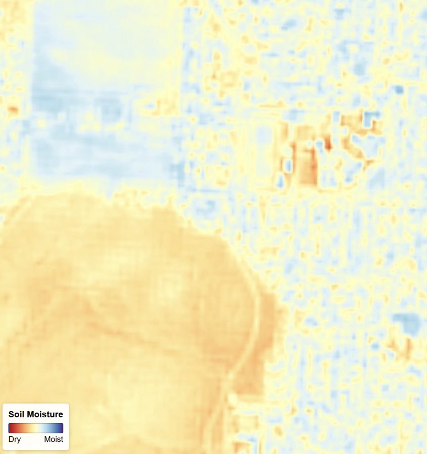
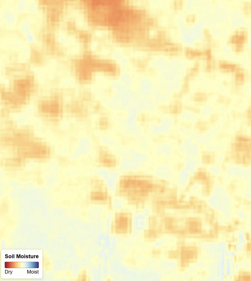
Soil moisture and salinity govern irrigation efficiency and long-term land productivity, but ground sensors only sample points and coarse satellite products blur out within-field variation entirely.
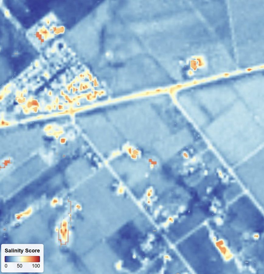
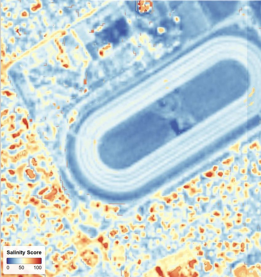
EarthToDate derives both at 2m from enhanced multispectral. The moisture composite stays correct across the full range from bare soil to dense canopy, where single-index approaches break down, and salinity is reported as a 0–100 score with a standard classification.
At field-section resolution the products reveal stress developing along irrigation lines, salt accumulation creeping in from field edges, and drainage problems — early enough to act before agronomic damage becomes irreversible.
Frequently asked questions
What is Soil Moisture & Salinity?
Soil moisture and salinity govern irrigation efficiency and long-term land productivity, but ground sensors only sample points and coarse satellite products blur out within-field variation entirely.
What data and resolution does Soil Moisture & Salinity use?
Field-scale moisture and a 0–100 salinity score, correct across the full range of conditions. (2m composite indexes)