Fire Hazard Intelligence
Prevention · active-event · recovery · cascade
Wildfire management has always been trapped between how often you can look and how clearly you can see. Coarse systems (MODIS 500m, VIIRS 375m) revisit daily but miss firebreak condition and fuel continuity at parcel scale; commercial VHR resolves the detail but at price points that rule out continuous monitoring.
EarthToDate breaks the trade-off with enhanced 2m multispectral twice weekly and 1m visual daily, plus 1m BaseDEM for terrain — the first time the full fire picture is observable from one stack. A standardised Fire Hazard Analysis covers the whole lifecycle: pre-season baseline, pre-fire fuel danger, active-fire awareness, post-fire severity, and recovery.
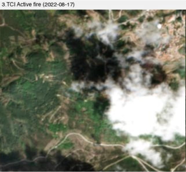
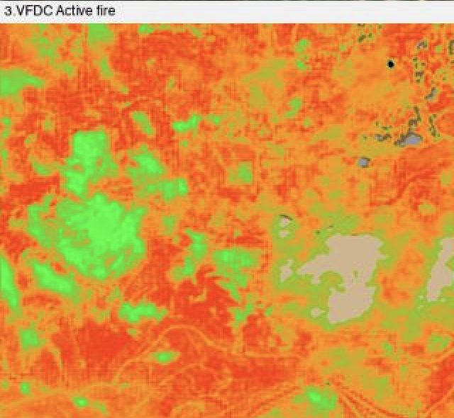
The science is textbook — NDVI, NDMI, MSI fused into a Vegetation Fuel Danger Composite; USGS-standard dNBR burn severity; HOT smoke discrimination with SWIR see-through composites that reveal active fronts under smoke. What's new is delivering it at 2m on a routine schedule, globally, with scene-internal calibration that needs no local ground truth.
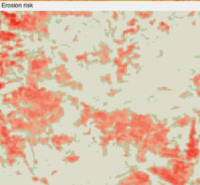
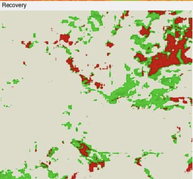
Two derived layers extend it to decisions a coarse sensor cannot make: firebreak and fuel-corridor condition (a 10m break is five pixels at 2m, invisible at Sentinel-2 native), and a terrain-aware post-fire erosion and debris-flow cascade map for civil protection. Recovery is tracked against same-date-previous-year references so seasons never confound the signal.
Frequently asked questions
What is Fire Hazard Intelligence?
Wildfire management has always been trapped between how often you can look and how clearly you can see. Coarse systems (MODIS 500m, VIIRS 375m) revisit daily but miss firebreak condition and fuel continuity at parcel scale; commercial VHR resolves the detail but at price points that rule out continuous monitoring.
What data and resolution does Fire Hazard Intelligence use?
A single coherent fire-risk stack — fuel danger, active-fire see-through, burn severity, recovery, and erosion cascade. (Prevention · active-event · recovery · cascade)
How does Fire Hazard Intelligence compare to the alternatives?
Two derived layers extend it to decisions a coarse sensor cannot make: firebreak and fuel-corridor condition (a 10m break is five pixels at 2m, invisible at Sentinel-2 native), and a terrain-aware post-fire erosion and debris-flow cascade map for civil protection. Recovery is tracked against same-date-previous-year references so seasons never confound the signal.