GLOF Early Warning
Continuous glacial-lake monitoring that models the water actually discharged downstream — not just total lake volume.
Request access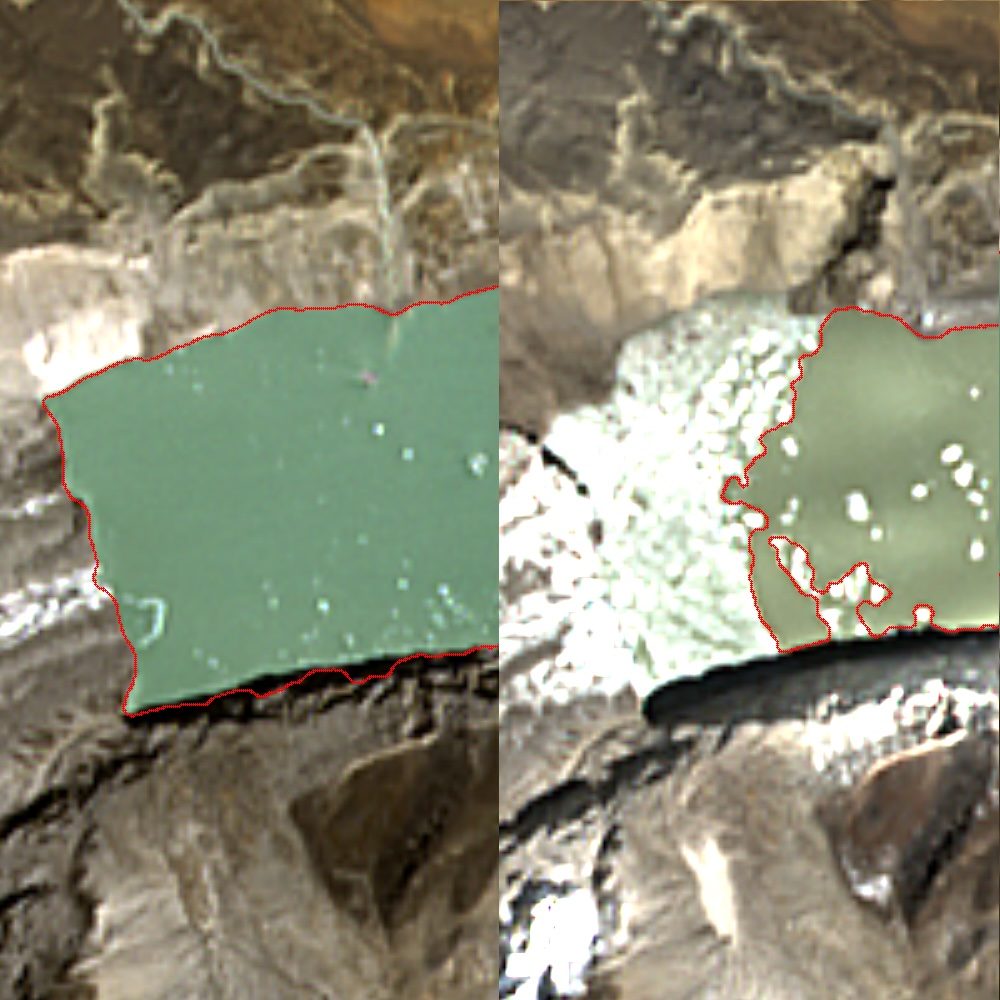
Model the quantity that actually matters — releasable discharge volume and where it would travel — for any glacial lake on Earth. Patent-pending.
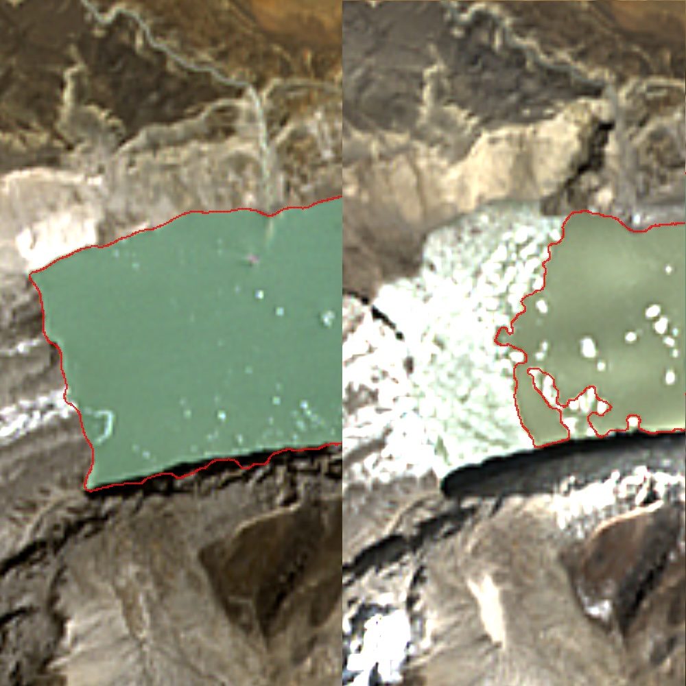
GLOFs are among the most destructive mountain hazards, yet most agencies rely on total lake volume, which is not what determines downstream impact. What matters is the volume that would discharge if the moraine breaches, and where it goes. Current assessments combine empirical area-volume scaling with 5–30 m public DEMs, producing error bands too wide to plan against. ETD measures releasable discharge volume from enhanced 1 m true-colour and 2–4 m multispectral over a globally-validated 1 m BaseDEM, and delivers: a discharged-water estimate, surface-extent/volume tracking from Sentinel-2, terrain-driven downstream flow simulation across villages/roads/bridges, growth-rate anomaly alerts, and a full historical baseline.
Use cases
- Disaster-management and hydrological early-warning for glacial regions.