Live All-Weather Basemap
An ever-fresh worldwide SAR basemap from Sentinel-1 (and soon NISAR) — updated live with every new pass, 3–12 days everywhere, day, night and through cloud.
Request access
A live, all-weather worldwide radar basemap: every new Sentinel-1 pass folded in as it arrives (3–12 days everywhere, depending on geography), served from a high-concurrency tile server for the quickest response.
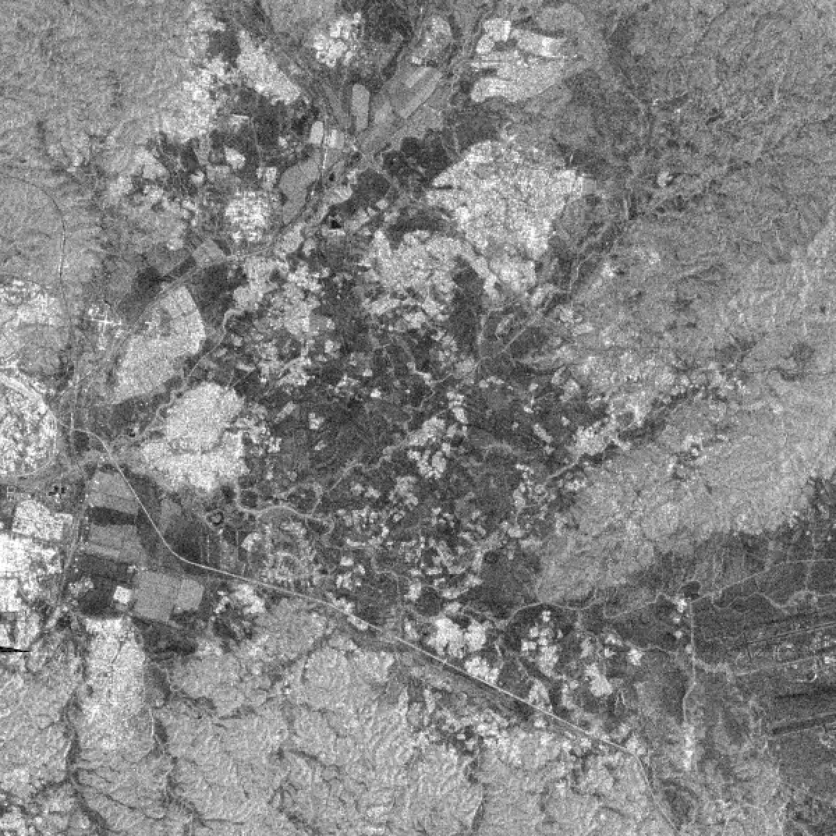
Optical basemaps go blind under cloud and at night; a radar basemap never does. ETD builds an ever-fresh worldwide basemap from Sentinel-1 (and, as it comes online, NISAR), updated live with every new capture — a revisit of roughly 3–12 days everywhere depending on geography. Both polarities are available, and both ascending and descending passes (whose differing look angle and radar shadow reveal different structure). Current and previous captures are delivered pixel-aligned, so change is a direct subtraction — ready for visualisation and processing with no registration step. The GRD source is terrain-corrected (RTC): a DEM-based (GLO-30) re-geocoding moves each pixel from its ellipsoid position to its true ground position — removing terrain-induced displacement of tens of metres in gentle relief to a few kilometres in high mountains — and radiometric flattening then normalises brightness for local slope. Everything is served from a tile server built for a large number of concurrent users and the quickest response.
Coming soon: ×4 Fidelity Reconstruction (FR) super-resolution, and a SAR land-cover classification layer (water, vegetation and more).
What is Fidelity Reconstruction (FR)? Fidelity Reconstruction (FR) is a non-generative super-resolver: it recovers only the detail the input actually implies — resolving and sharpening real structure without inventing any — so its output downscales back to the source almost exactly. Where a GAN hallucinates plausible-but-fabricated texture, FR stays evidence-bounded.
Fidelity Reconstruction is a reconstructive, non-hallucinating approach to super-resolution. Rather than generating a plausible high-resolution image the way adversarial (GAN) upscalers do, an FR model performs a learned, information-bounded reconstruction: it recovers high-frequency structure that is genuinely implied by — aliased or blurred within — the input, and refines edges and fine geometry, but it does not synthesize novel content (textures, objects, or detail) that the source cannot support.
The defining, measurable property is downscale-consistency: when an FR output is reduced back to the input resolution, it returns the input almost exactly (in our tests ~56 dB PSNR), because every pixel is derived from real evidence. Generative upscalers fail this test (~30 dB) precisely because they add content that isn't in the source — content that looks sharp but is fabricated. That distinction is what makes FR appropriate for measurement and monitoring, where an invented building, road, or texture would be an analytical liability, not a cosmetic bonus.
The deliberate trade-off is that FR will not manufacture the “photographic crispness” a GAN conjures; its ceiling is the true information content of the input (and the resolution its training targets taught it to resolve). In exchange, its output is trustworthy and reproducible — sharper and higher-resolution than the source, but faithful to it — which is the correct guarantee for a satellite-analytics product.
Use cases
- All-weather flood, disaster and infrastructure monitoring where optical fails.
- Wide-area change detection from pixel-aligned current / previous SAR.
- Maritime and border awareness — day or night, through cloud.